Day 104: Ashland (1718) to Porcupine Mountain (1725)
Day 105: 1725 to Vulture Rock trailhead (1756)
Day 106: 1756 to Red Lake trailhead (1787)
Day 107: 1787 to just south of Crater Lake NP (1814)
Day 108: 1814 to Crater Lake Rim Trail (1839)
Day 109/110 (24-hour challenge): 1839 to Shelter Cove Resort (1906)
Highlights: Having company for a few days; Amazing trail magic; Pace has stayed high even with company); Crater Lake; Record hiking distance.
Lowlights: Long water carries; Rain; Occasional difficult volcanic terrain.
Ashland to Crater Lake
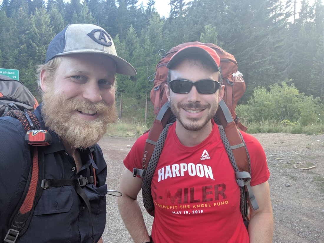
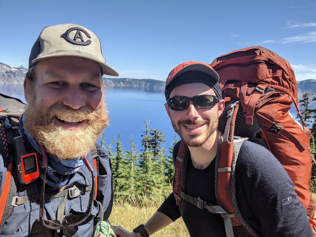
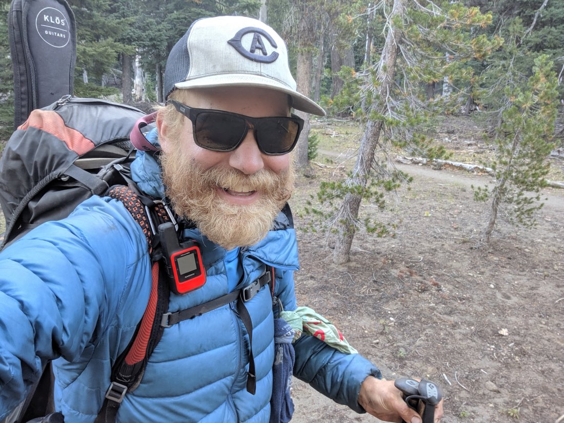
After running errands around downtown Ashland all afternoon, Étienne and I headed out to the trail for a few miles in the evening. He was scheduled to take a bus out from Crater Lake on Friday at 3 pm, and wanted to spend a few hours there beforehand, so we had to hike out on Day 104 and then do three 30-mile days to make that.
We got going by around 7:30 the next day. Étienne carried quite a fast pace at first, knowing that 30 miles was quite a stretch and that he would maybe need time for a slower pace in the afternoon.
Early on, we ended up in a predictable but still unexpected water carry. Around 9 or 10 am, Étienne asked where the next water was. I checked to find that it was still 10 miles away, and we each only had about half a liter of water, so we quickly had to switch to rationing mode. From then on I was much more careful to check when the next source was. We had two or three carries of at least 15 miles, so I had to carry substantially more water than I was used to.
Having hiked at quite a pace in the morning, and pushing all the way to the next water source for lunch, we had plenty of time to do the remaining 13-14 miles to reach 31 miles on the day.
The next day was made more challenging by two factors.
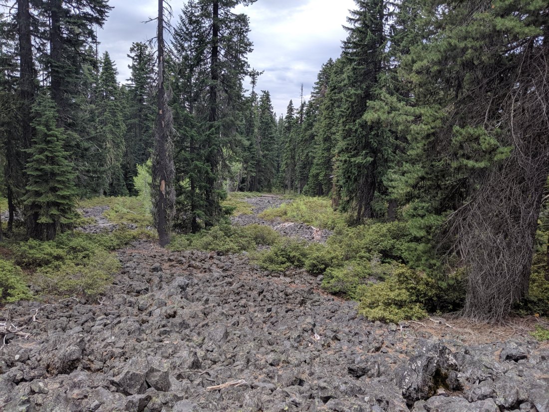
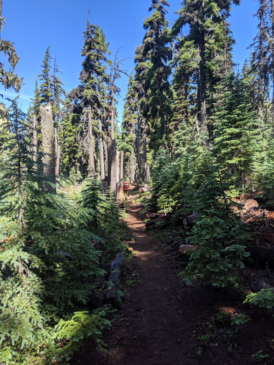
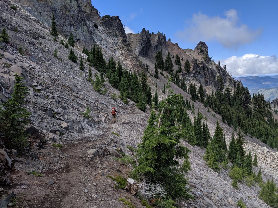
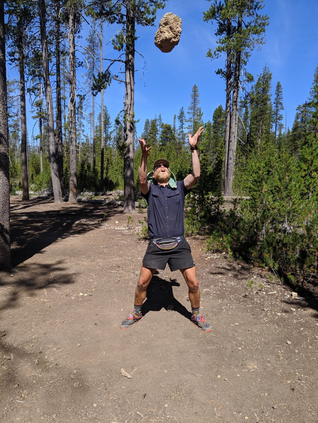
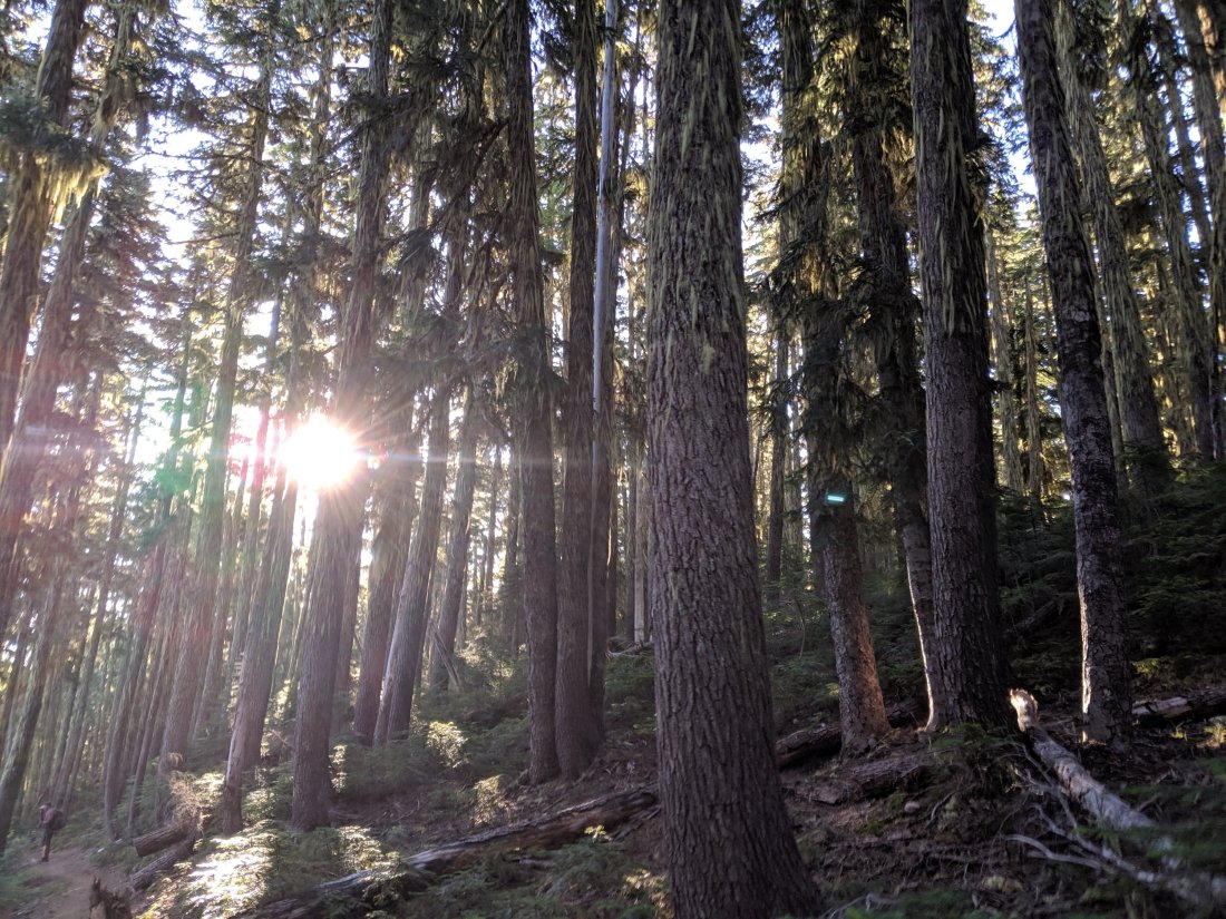
First, while the trail in Oregon has mostly been mild and forested (a “green tunnel”), Day 106 went through a lot of lava fields. It’s pretty cool to see remnants of volcanic activity, but it’s also a lot less gentle on the feet and makes it difficult to keep up a good pace.

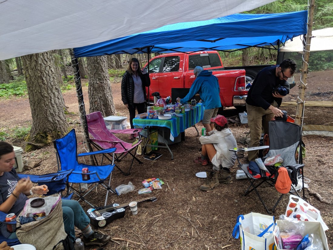
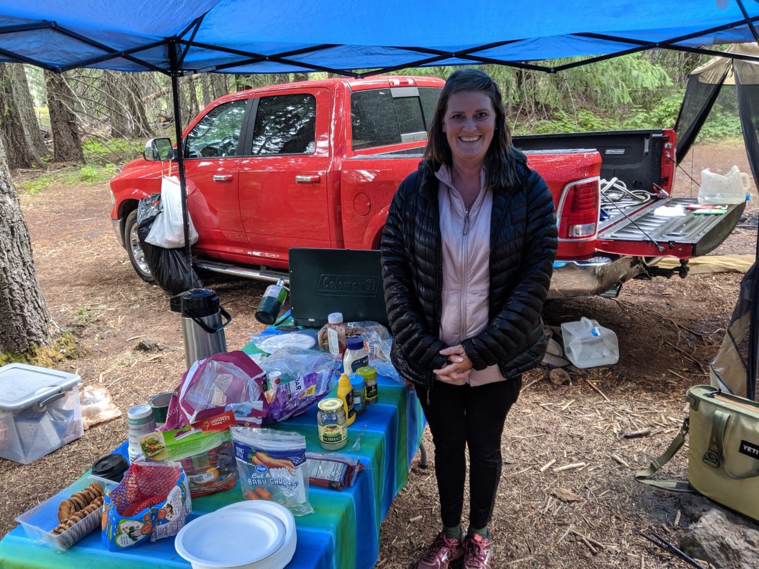
Second, a rainstorm rolled through starting in the early afternoon. Fortunately, at the spot where we were aiming for lunch, a lovely woman named Clementine had set up a trail magic station. She was staying a week in a town nearby where her husband was for work, and decided to spend her days helping out hikers, having hiked sections of the PCT herself. She had awnings, a grill with hot dogs, tons of snacks, and a charging station. Because it was raining and because Étienne was basically dead from doing 1.5 30-mile days, we stayed for a couple hours, relaxed, treated Étienne’s blisters, etc.
Progress was slower than on the previous day, but Étienne still wanted to make it 31 miles so that we could do a slightly shorter day on the next day and still not fall behind. This meant hiking through the rain until about 10:30, which was a bit unpleasant, but all part of the fun.
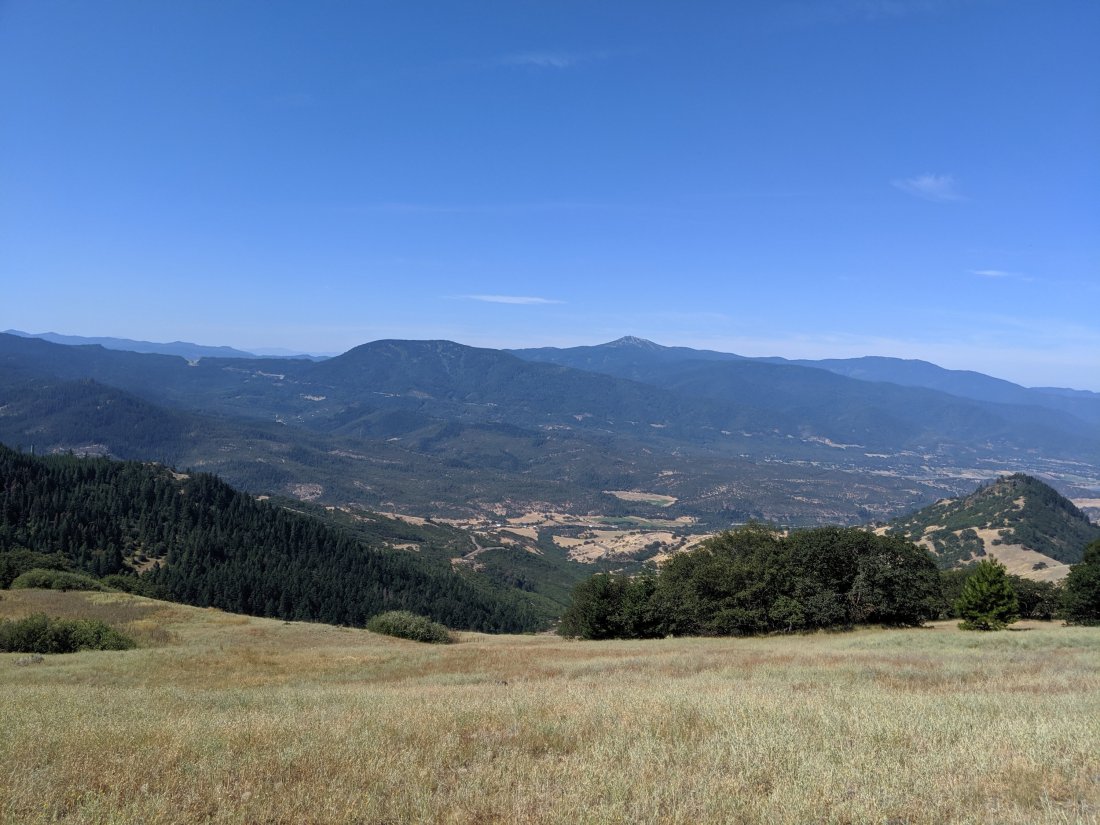
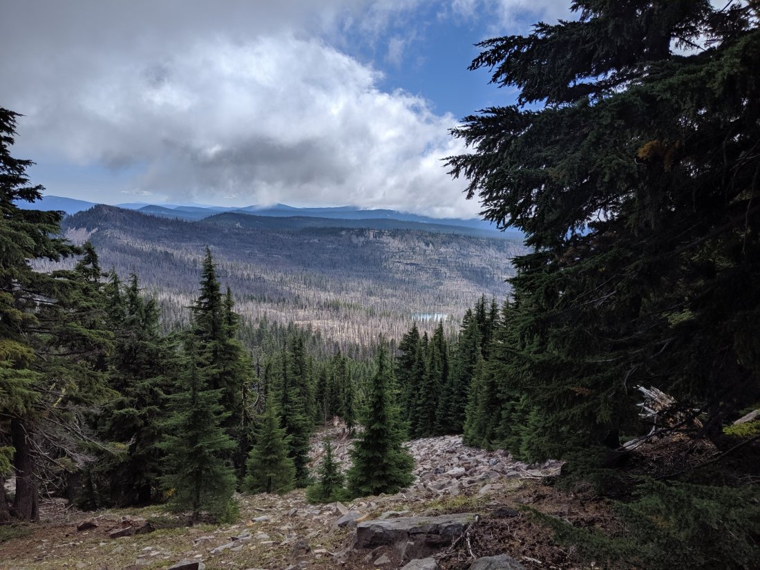
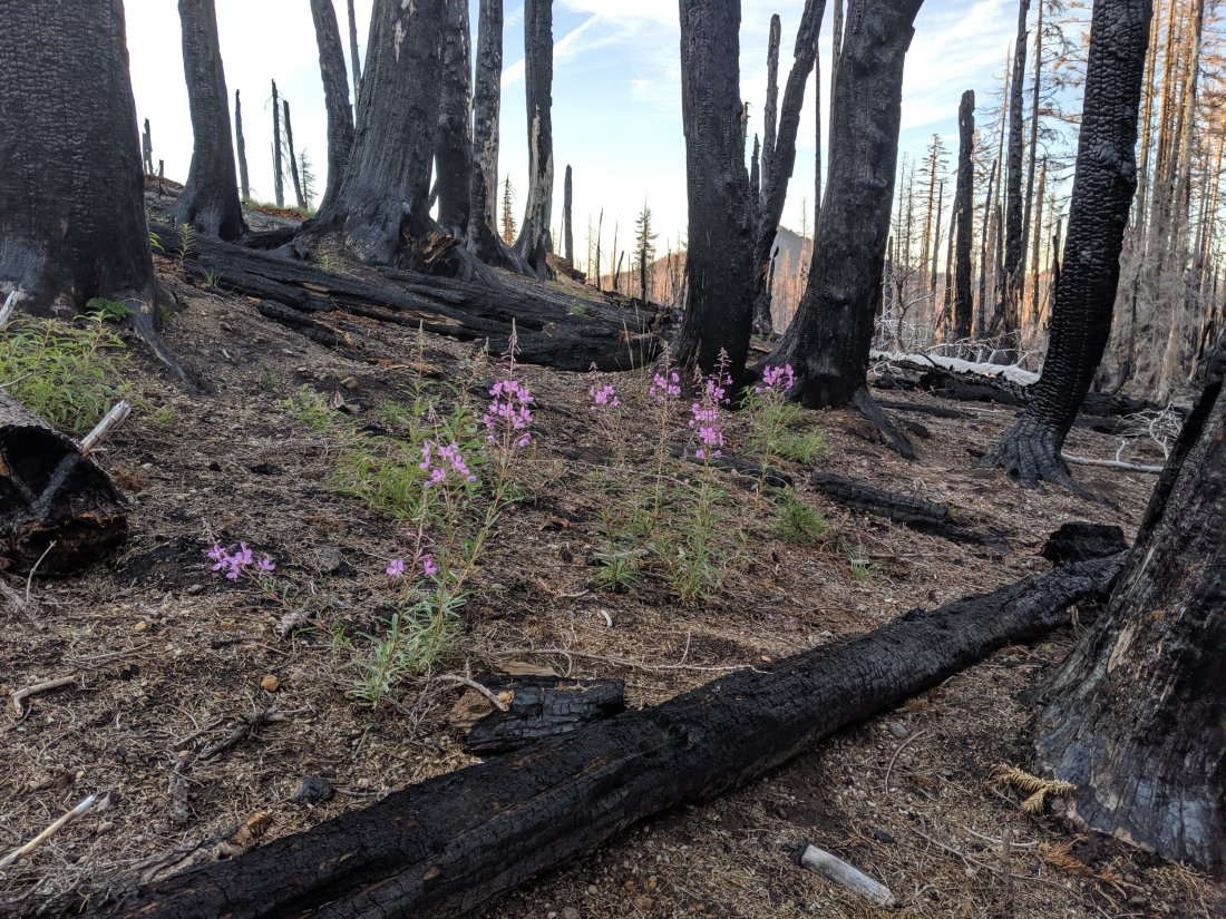
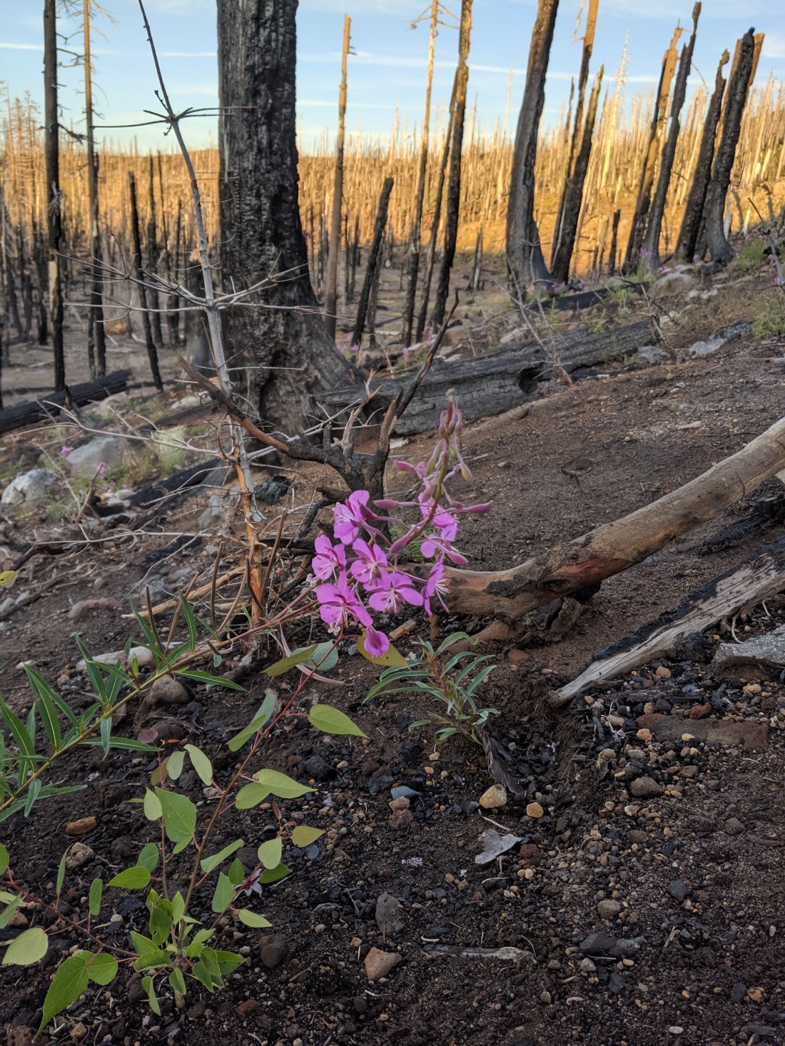
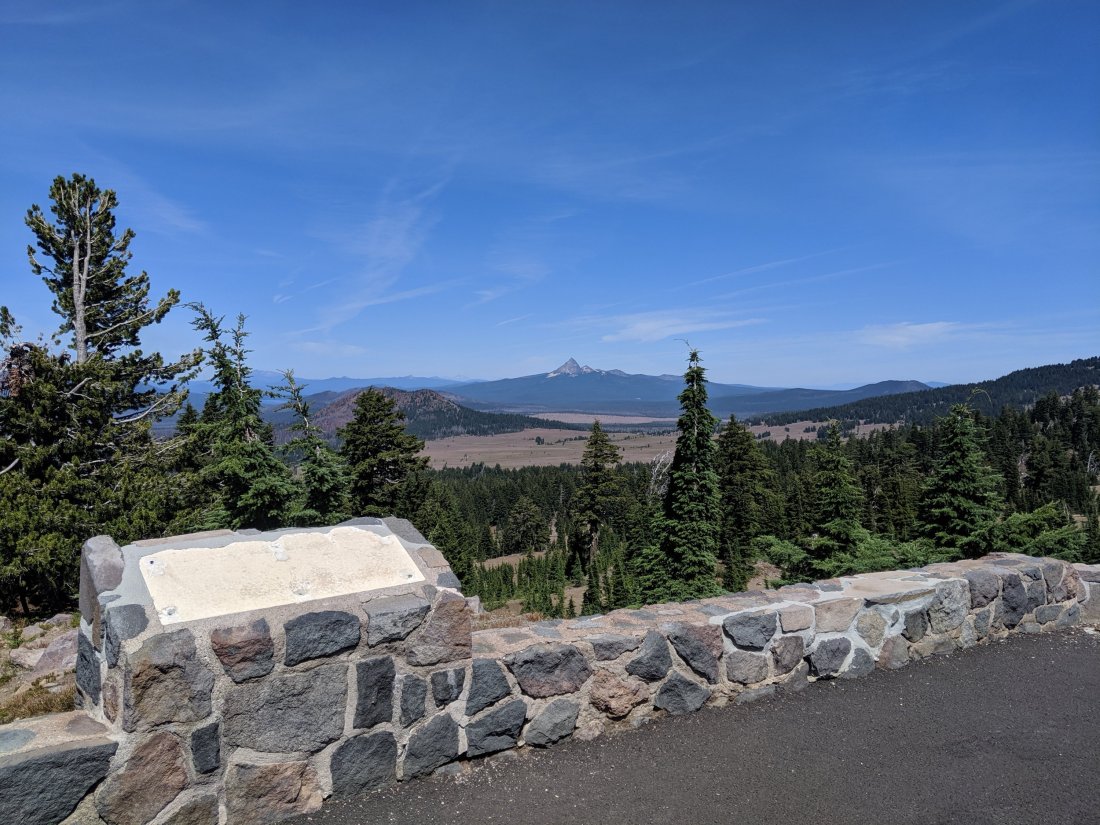
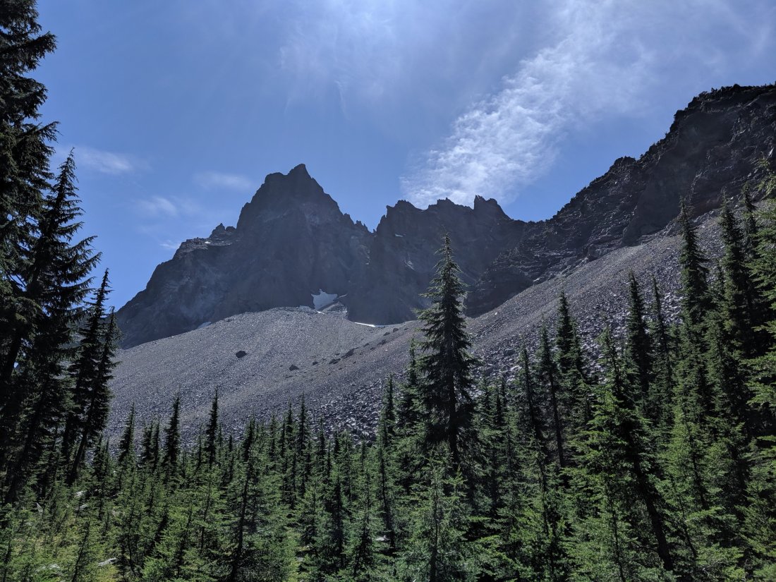
Day 107 took us to just south of Crater Lake. Most of the hiking was back in the green tunnel, but good water sources were still few and far between. We passed through some burn areas near the end of the day which I found quite striking, because they were devoid of life save for some brilliant pink flowers popping up between the charred tree trunks.
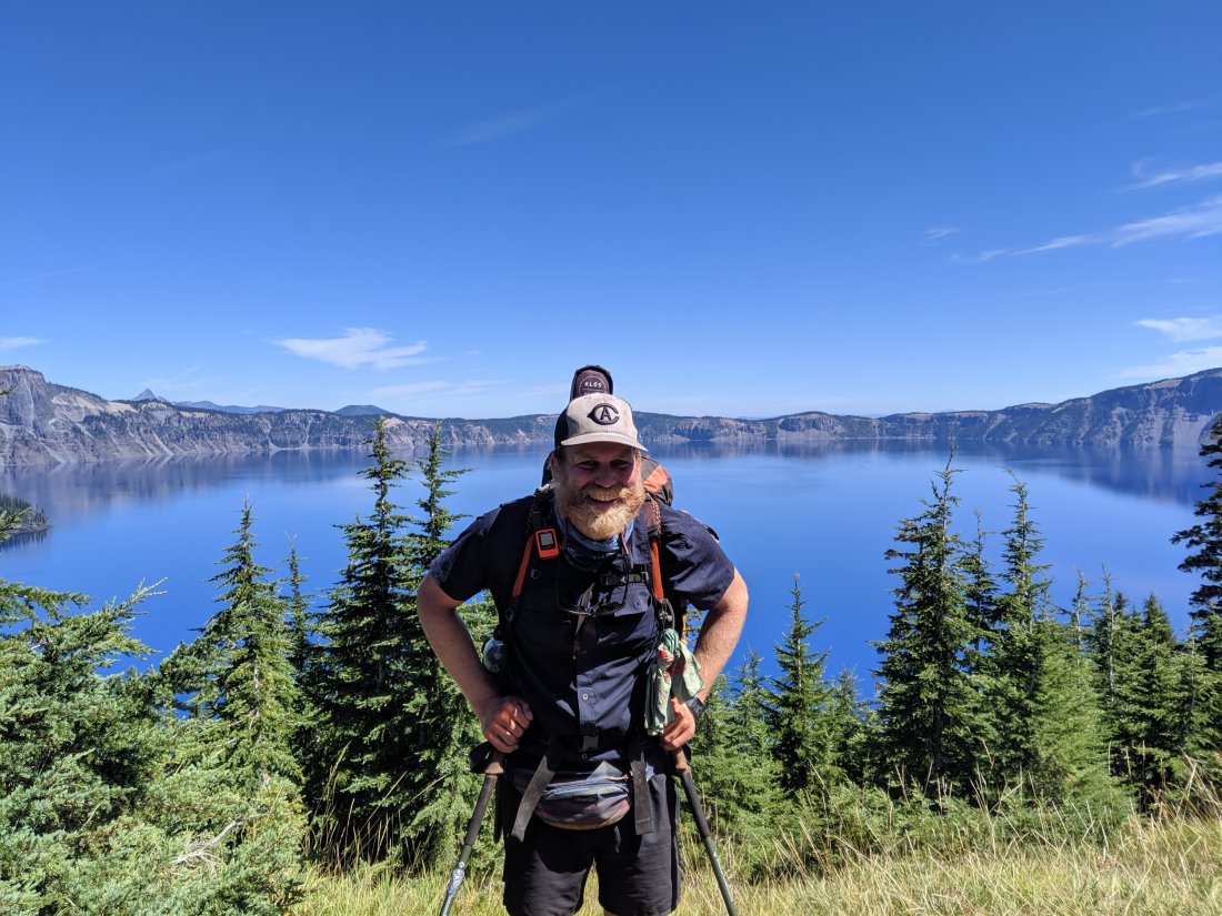
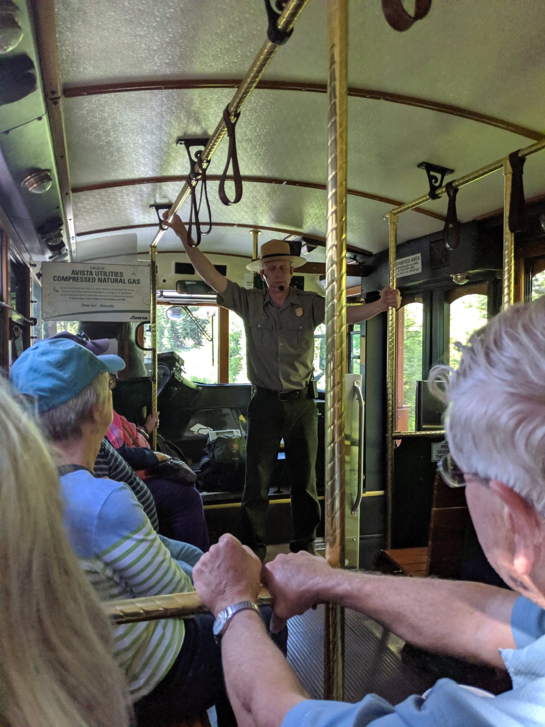
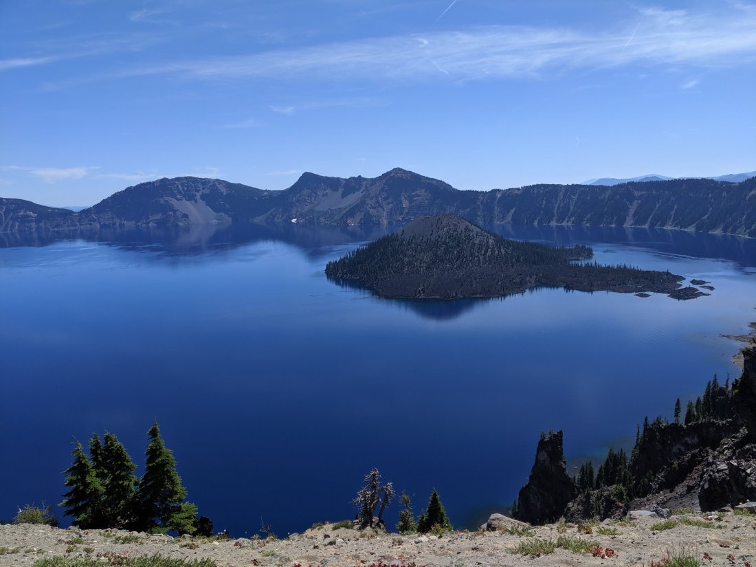
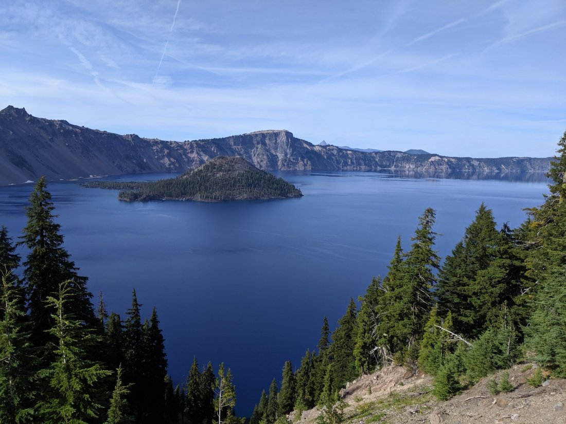
We made it far enough on days 105-107 that we only had 12-13 miles into Crater Lake on Day 108, which we were able to do by noon. We ate lunch and checked out the views of the lake, and then went on a two-hour trolley tour around the perimeter of the lake, led by Ranger Dave, whose spiel was full of really interesting facts about Crater Lake and intermixed with terrible puns he’s clearly told hundreds of times (after snapping a piece of brittle pumice with his hands: “Why can’t you trust the Crater Lake rangers? Because they always break their pumices”).
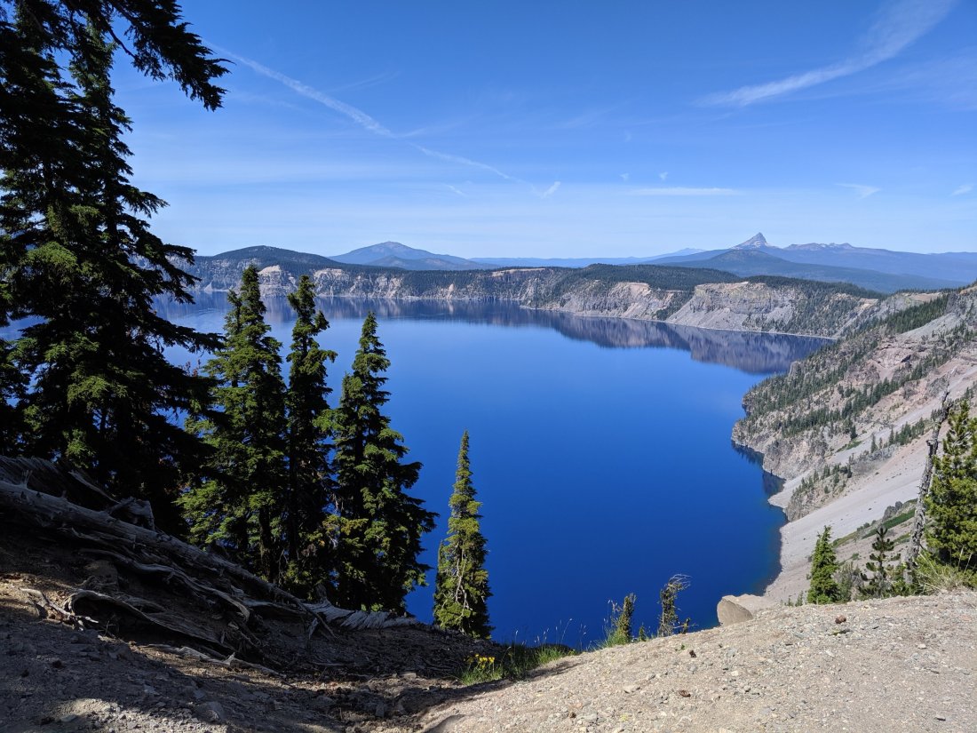
This is my second time to Crater Lake, the first being with a group of fellow members of UC Davis’s Cal Aggie Marching Band on the way to (or from?) a football game at Portland State in 2009. It’s really a stunningly beautiful place, and I was grateful to be able to learn so much more about it that I didn’t get when we passed through in 2009. Here are some things about it:
1. Crater Lake is the deepest lake in the US, just shy of 2,000 feet.
2. It has no inlets or outlets – the water level is maintained by a balance of rain and snow fall on the the lake surface and evaporation. Because it’s basically just pure rainfall without any sediments carried by rivers, it is the world’s clearest lake. The “Secchi disk” used to measure water clarity can be seen at a depth of 130 feet. I didn’t make it to the surface, but this clarity makes the lake brilliantly blue from above (same as Lake Tahoe, which is also deep and clear).
3. About 8,000 years ago, Crater Lake was instead Mt Mazama, a large volcano similar in size to the other noteworthy Cascade volcanoes (maybe 12,000 feet). That’s when a huge eruption happened, and the void left by the departed magma couldn’t support the weight for the mountain, and it collapsed into itself.
4. There were many Native American tribes living in the area. Those to the north were largely killed because the wind was blowing in that direction. The Klamath tribe to the south got lucky and were able to survive the ash fall by chilling beneath the surface of Upper Klamath Lake and breathing through reeds.
5. There are a bunch of creation myths in the oral traditions of villages around which clearly derive from witnessing this eruption. Anthropologists and geologists know they must derive from this, because they all point to an eruption and then a collapse.
6. There are pumice fields all the way up to Bend (100 miles north) which were all created on the day of the eruption, as the aerated lava cooled in mid-air. Pumice is light enough to float on water, and is jarringly light to pick up.
Anyway, here’s a photo dump of the lake:


Crater Lake to Shelter Cove
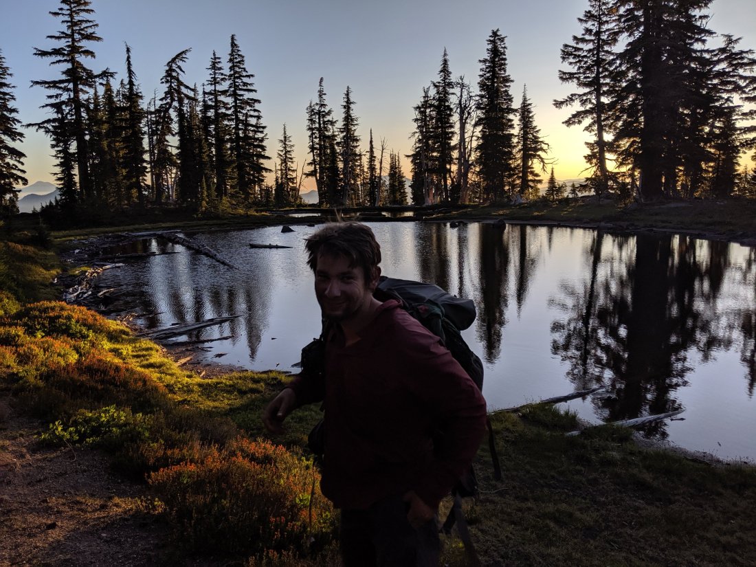
Étienne caught his bus right after the tour. We had to hike past dark most days, but I was super impressed that he was able to cover 89 miles in 3 days without building up to it. And after some more lonely stretches in the Sierras and getting back into the groove northbound, it was nice to have someone consistent for a few days.
As I walked around the rim and towards my camping spot, it occurred to me that my next resupply spot was about 65 miles to the north, or just over 100 km. A couple of other hikers I know from the beginning of the trip, Petr and Zach, had talked about trying to do 100 km in 24 hours. I decided that evening that conditions were right to try it the next day, and maybe make it to my resupply.
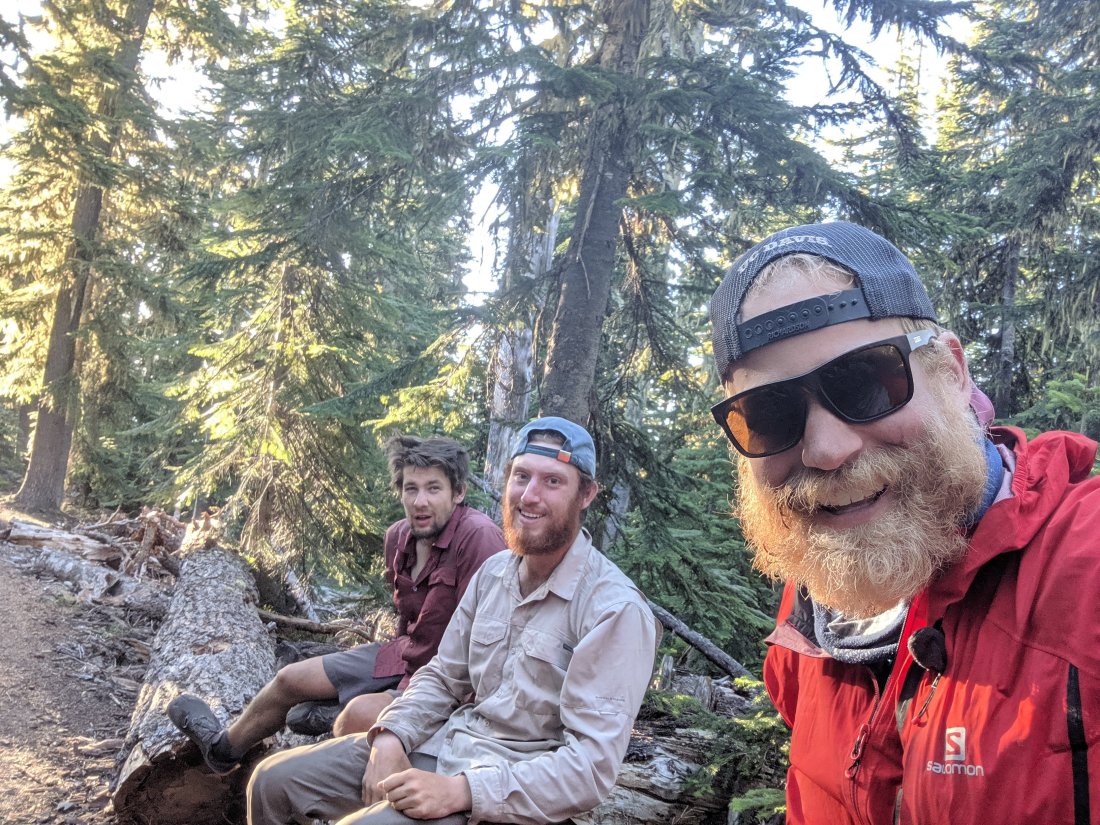
As it happened, Petr and Zach were camped at the same spot as me on the night of Day 108. I told them my plan and invited them to join. They initially declined, as they intended to save their push for the 100 km into the Oregon-Washington line on the Columbia River. Nonetheless, they left camp with me the next morning, and within one or two hours, they decided that it just made more sense to do it with me.
The next 24 hours are a bit of a haze, but ground through the rest of the day and through the night. We generally did 10-12 miles of hiking followed by a 0.5-1 hour break. My legs held up reasonably well, but I was battling drowsiness by the end, especially when we were stopped. We left camp at 8:15 am on Day 108, and got to the 100 km point at 7:28 on Day 109, successfully completing the objective!

By 8:15, we were up to 63.5 mi / 102.1 km, and then it was another 5 miles to Shelter Cove Resort. We kept pushing to the resort, got breakfast, and took a cabin for the night. We were all pretty limpy and drowsy all day, so mostly just napped and watched television.
I’m currently writing this from a lawn at Shelter Cove, where I’ve been for most of Day 111 actually doing the things I need to. I’ll head out from here soon, on my way to Bend!
