
Day 18: Big Bear (266) to Little Bear Springs Camp (286)
Day 19: 286 to Deep Creek Hot Springs (308)
Day 20: 308 to Silverwood Lake (329)
Day 21: 329 to Swarthout Canyon (347)
Day 22: 347 to Wrightwood (369)
Highlights: Hiking with my brother; awesome hot springs; Week 3 pace firmly on track for 5-month completion; I think I’ve outlasted the cold, wet weather.
Lowlights: Gradual descent out of San Bernardino mountains a bit monotonous.
Big Bear to Deep Creek
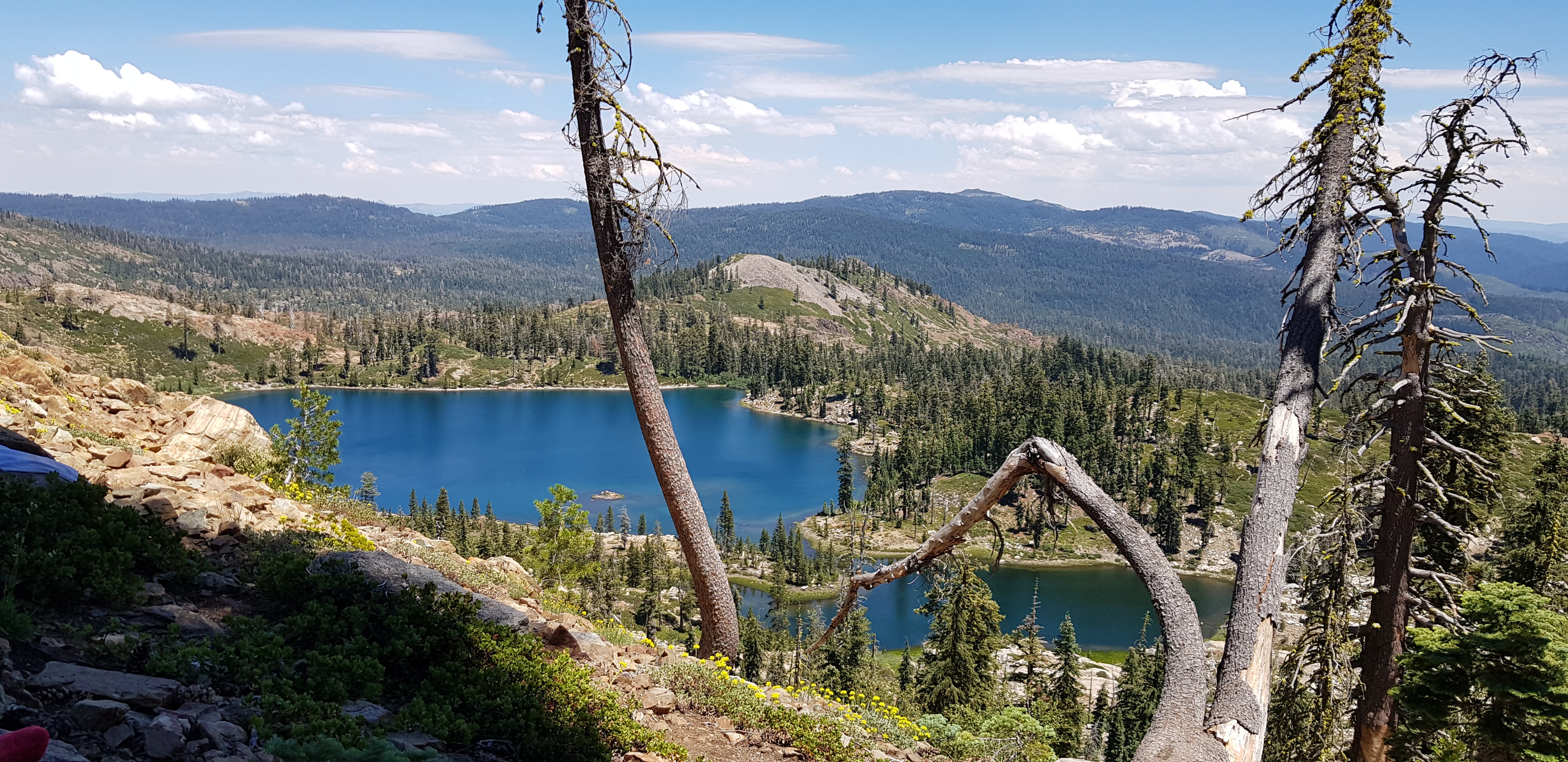
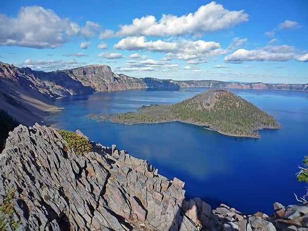
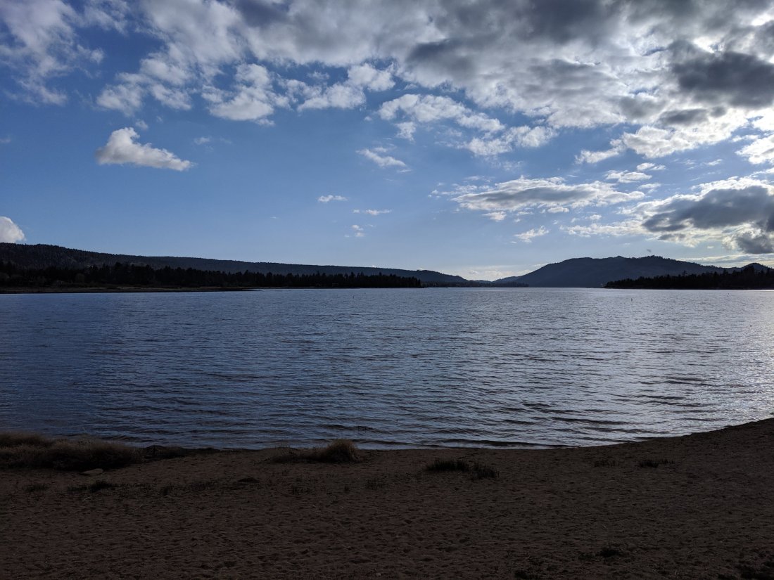
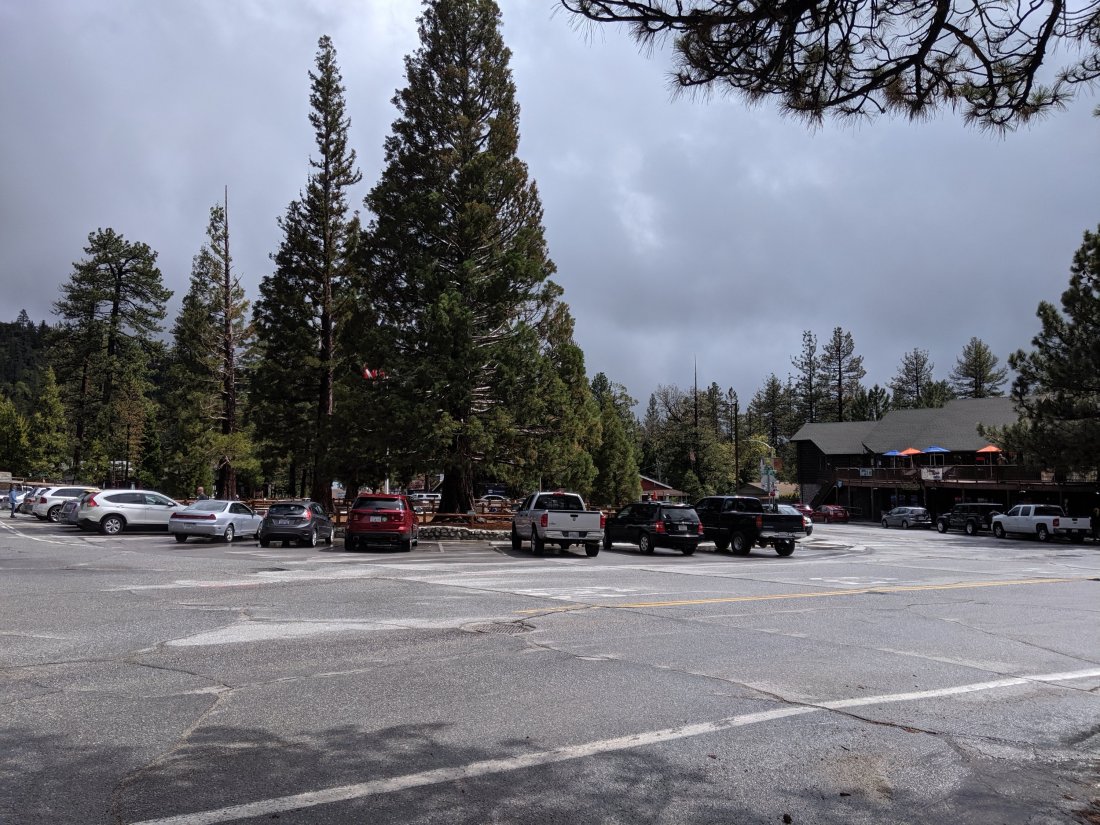
We started off from Big Bear in the morning of Day 18. We grabbed breakfast in town with a few other hikers, then in the parking lot of the restaurant, this couple offered to drive us out to the PCT (they were starting a 3-4 day hike, I think). Naturally we accepted, but it turns out that there are several PCT trailheads near Big Bear, and they were going to a different one. It didn’t seem appropriate to ever say anything, so we arrived at the wrong trailhead, thanked them, waited for them to leave, then went back to the road to get a hitch to the correct trailhead.We were picked up without too much difficulty, and were soon on our way on the trail. Hiking on Day 18 was fairly unremarkable – some nice views of Big Bear Lake, though it’s not the most beautiful lake I’ve ever seen (which, for the record, is in Andorra), and some nice views over the canyons we were hiking in. Lots of day hikers around because it was Memorial Day weekend and close to lots of trailheads.

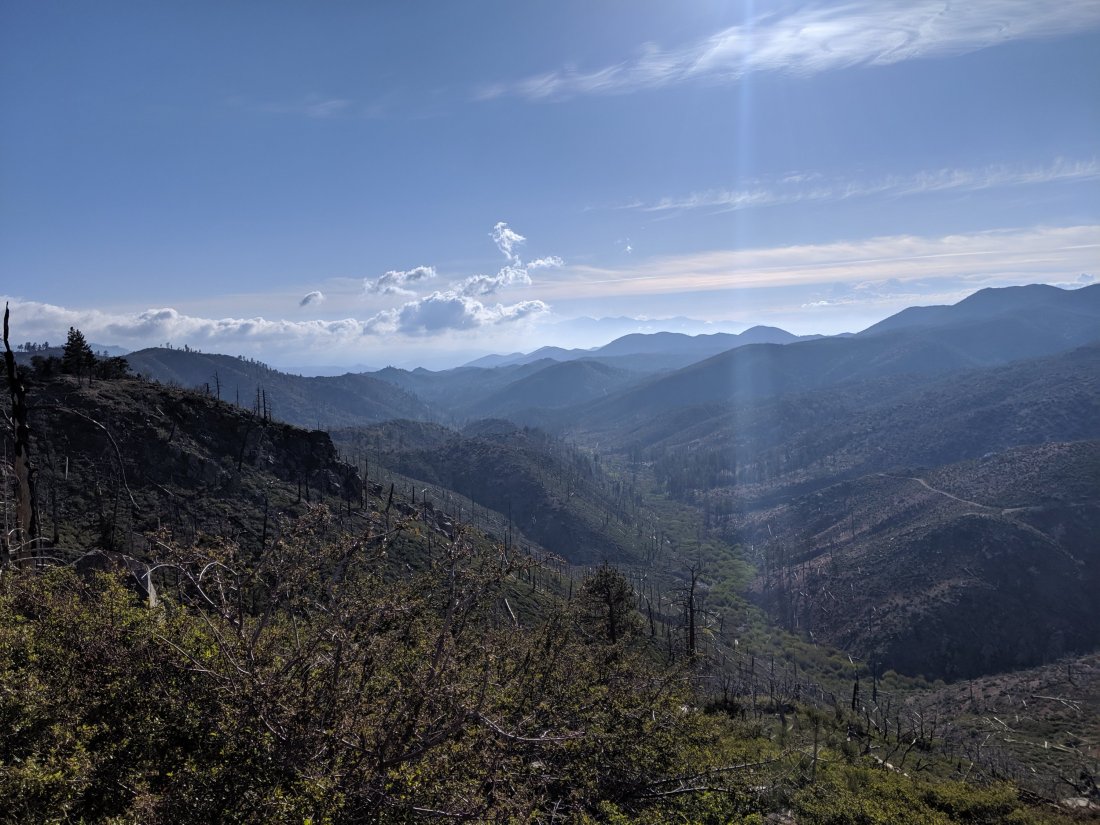
By the end of the day, we made it down to Little Bear Creek camp, a campsite at the end of a dirt road which was a weird mix of hikers camping, Jeeps roaring up the road, people firing guns, and some weird dance music far in the distance.
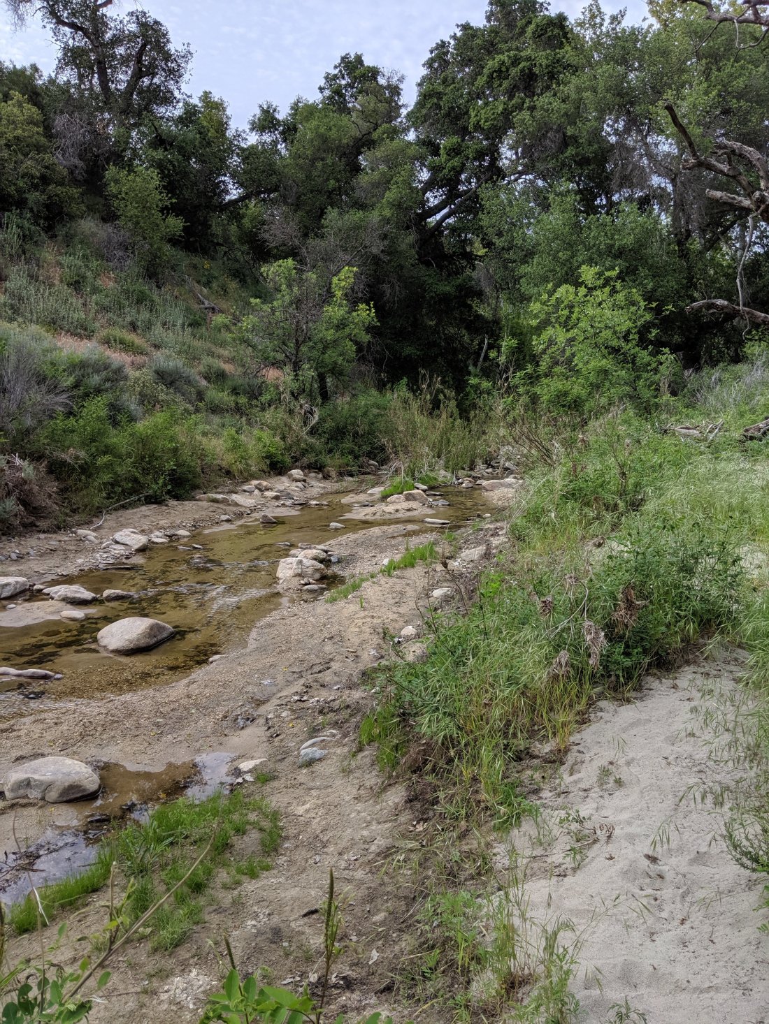
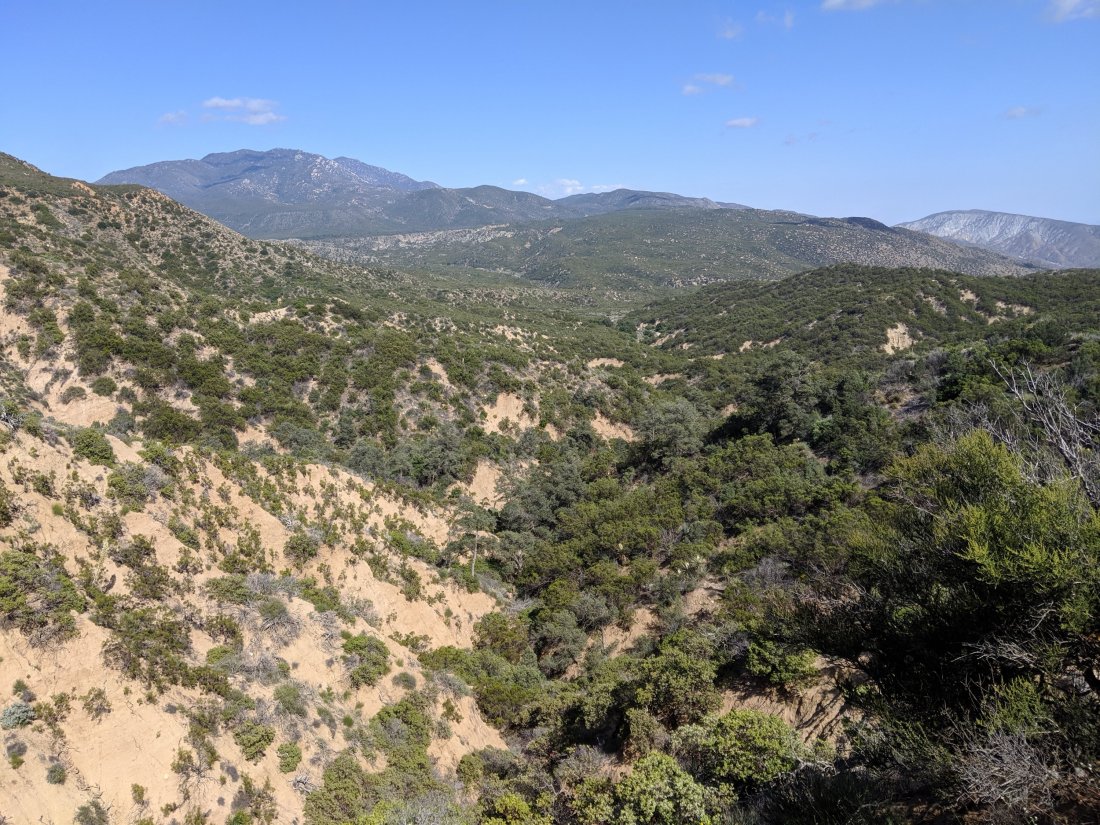
The next morning was predicted to be snowy, so we got a decently early start in the hopes of being low enough in elevation and far enough from the mountain crest so as to avoid the worst weather. Either our theory was correct or the forecast was wrong, because we only got light rain that day. Now, with no rain in the immediate forecast, I may have successfully dodged all of the inclement weather that has really hindered the progress of a lot of other folks.Midway through the day, we crossed over into the Mojave River canyon (also known as Deep Creek where we were? Unclear as to the correct nomenclature). This was a stunningly beautiful desert-y canyon.
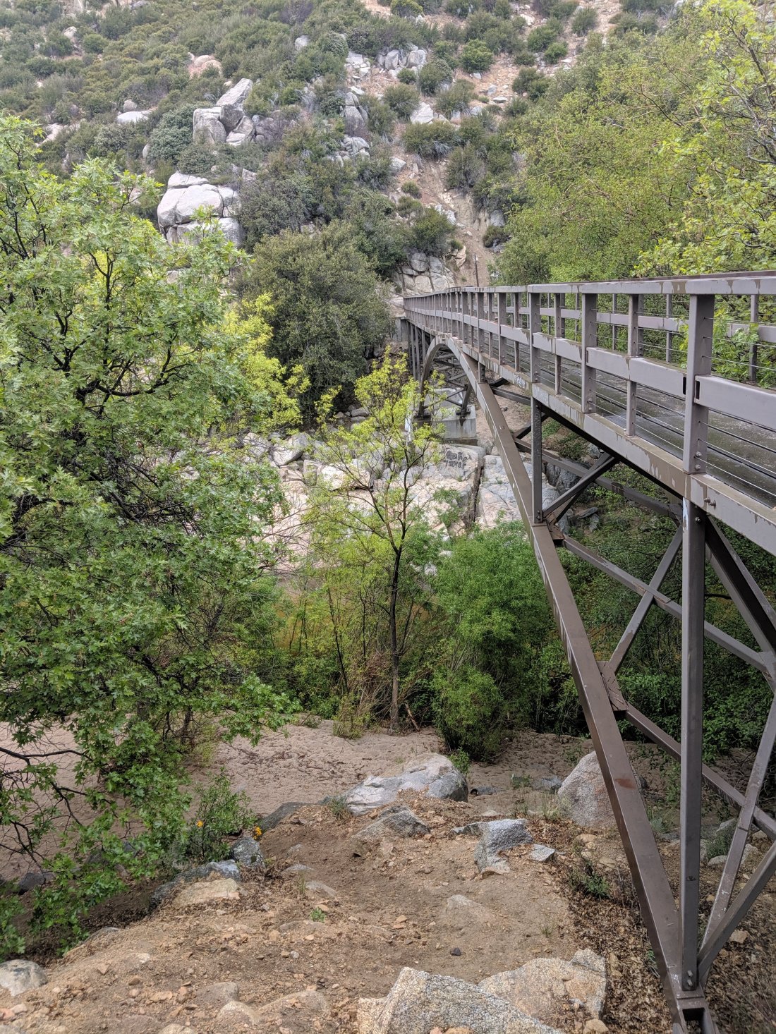
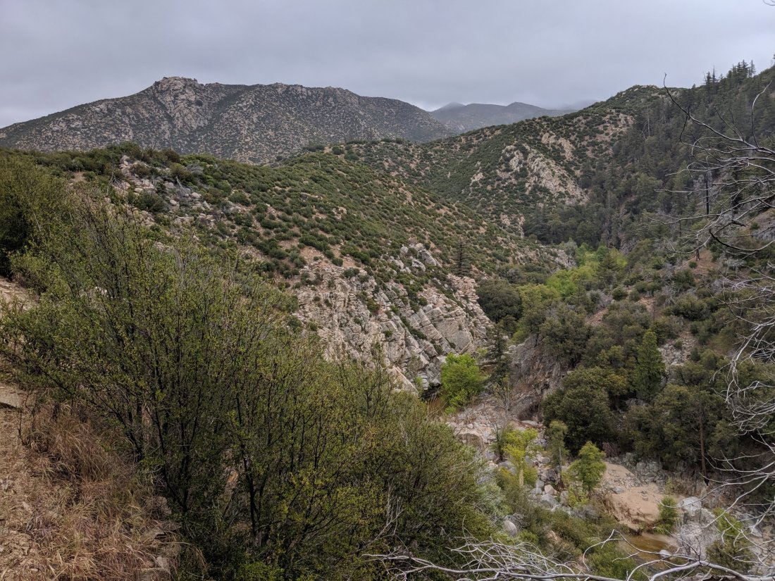
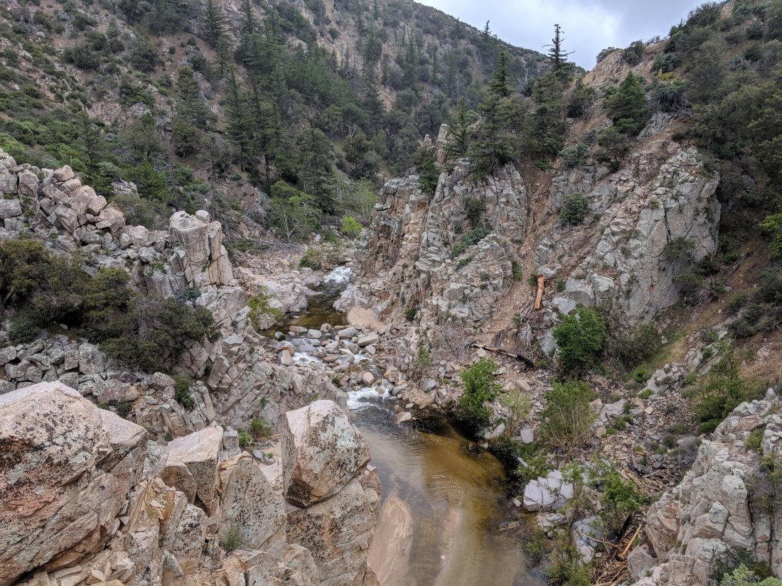
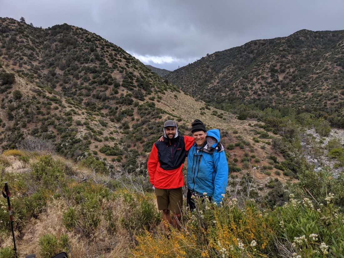
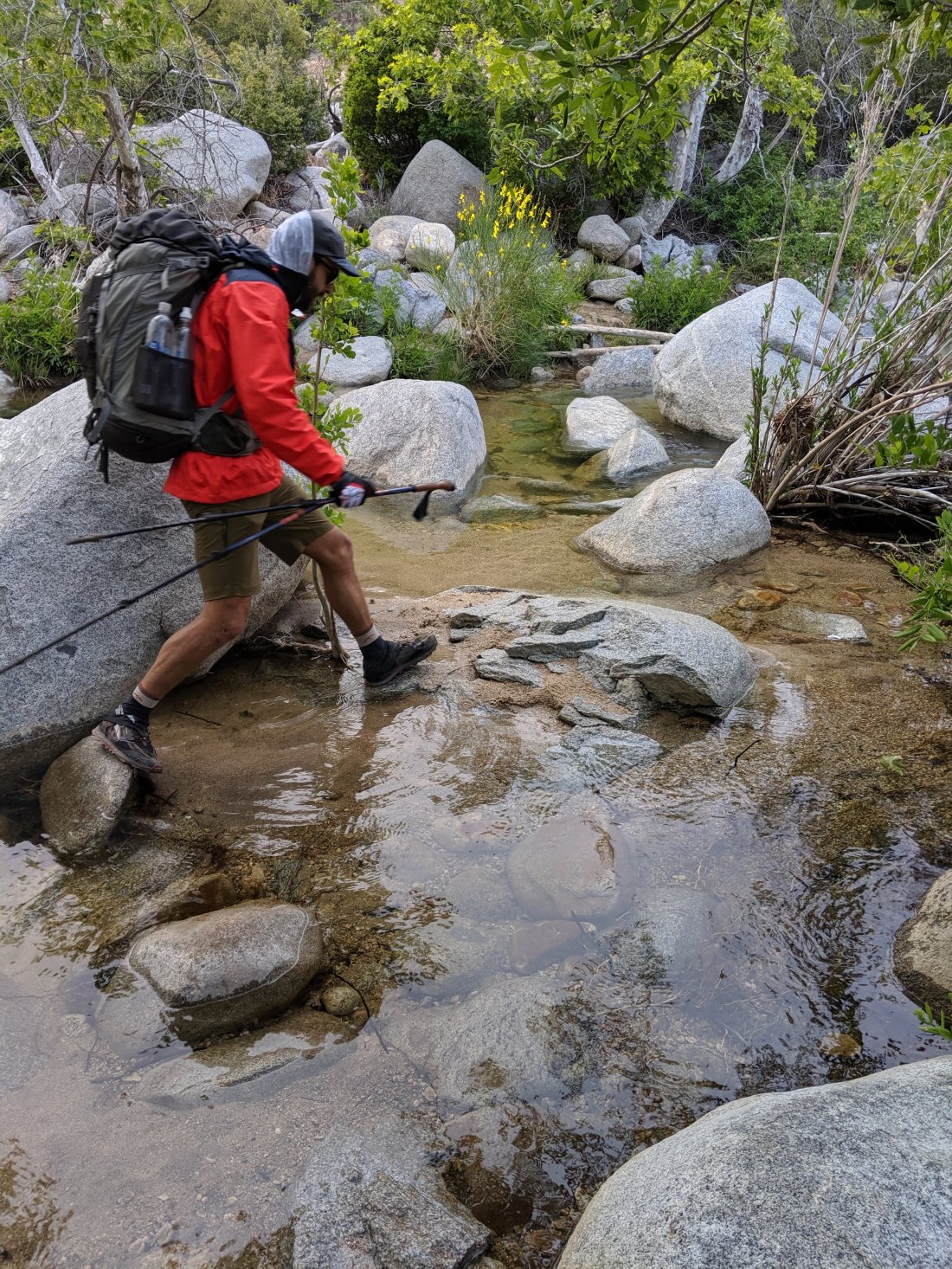

We spent the rest of the day (and the next morning) working our way down it, eventually ending up at the natural hot springs.
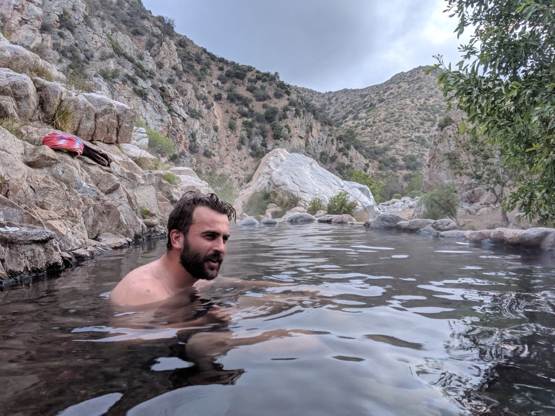
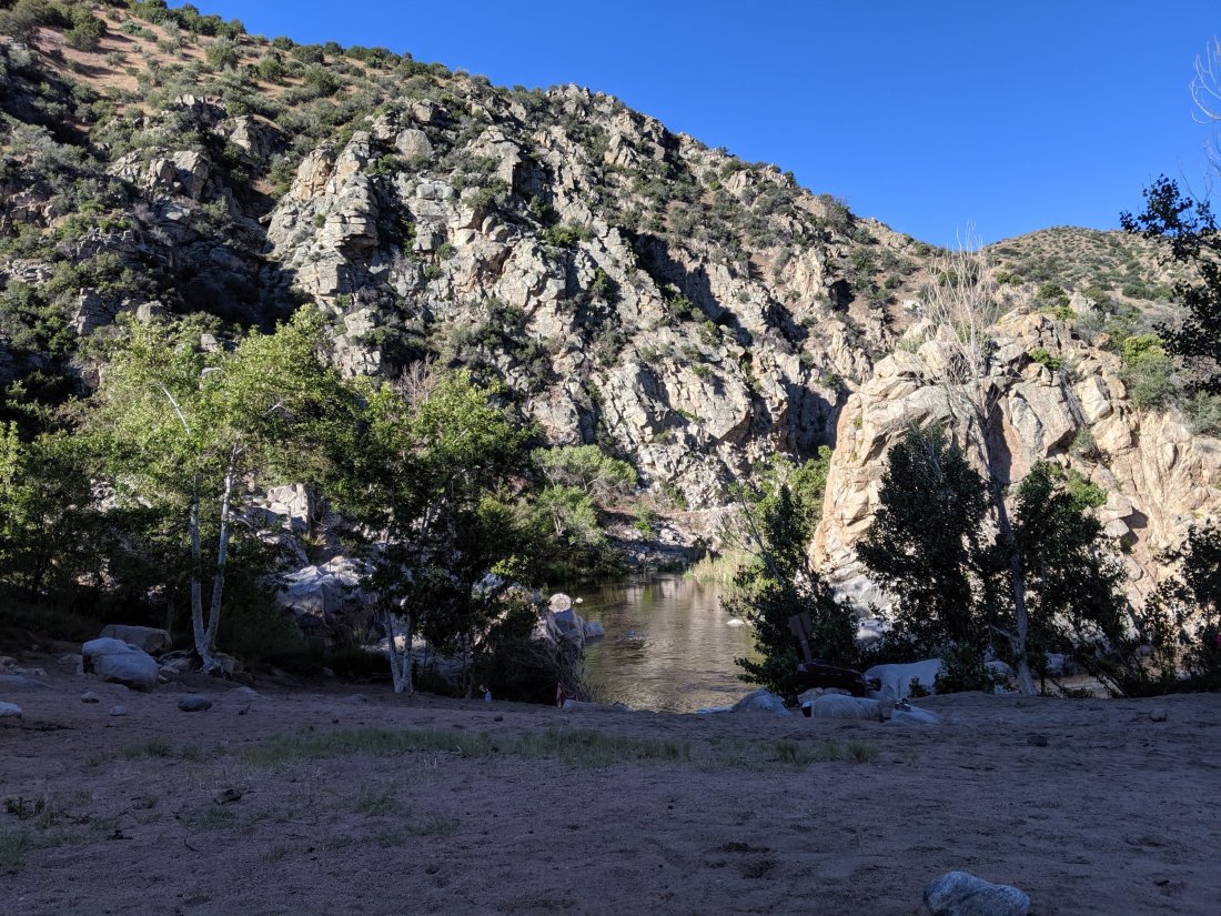
Unclear what the story is with these hot springs, but there are pools off to the side of river with hot water. There’s also apparently a group of regulars who hike in and are naked basically as long as the air is warm enough, so I’ve only got a couple pictures of the hot springs.
Deep Creek to Cajon Junction
We stayed the night at the hot springs, took a morning dip, and headed out in the morning of Day 20. For the first half of the day, we continued to follow the Mojave River canyon as it dropped and began to open up. It culminated at the Mojave Dam, which appears to serve no purpose, as there’s no reservoir on either side of it. It almost looks like the lead engineer accidentally built it sideways.
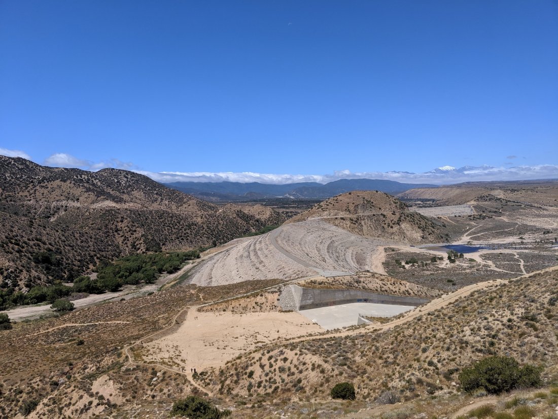
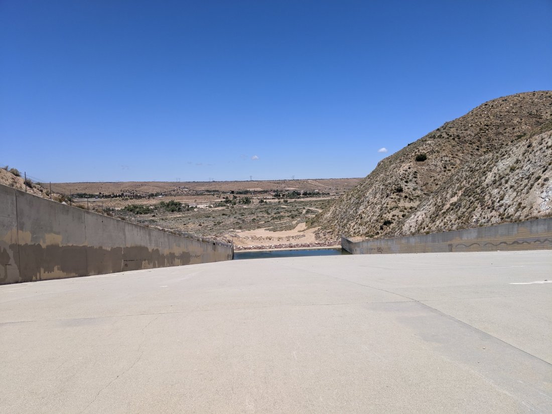
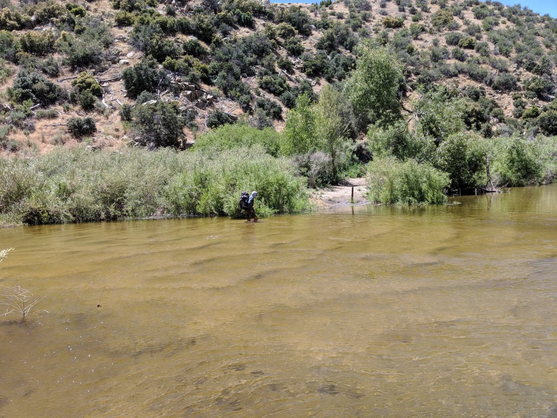
Also around here was a proper, more-than-knee-deep river crossing.
Shortly thereafter, Torsten got off the trail and hitched ahead to where I was planning to make it that night, Silverwood Lake (apparently the southernmost reservoir in the California Water Project). He had to fly back to SF the next morning, had already made 100 miles on the trail, and his Achilles was bothering him, so there was no sense pushing it. Therefore, for most of the day I was alone, and it wasn’t particularly interesting hiking.
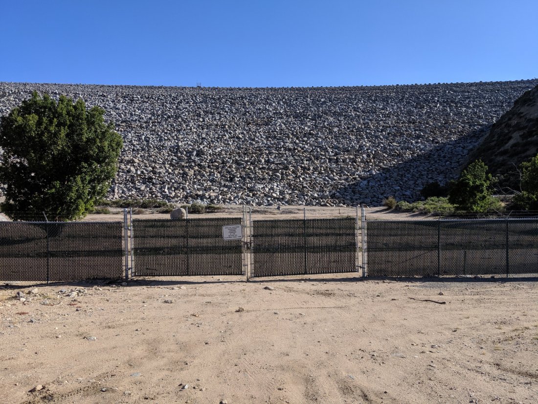
Eventually I came beneath the dam that holds back Silverwood Lake, and went up and over to the banks of the lake. A bit weird to hike up to a lake rather than down, but I guess that’s reservoirs for you. (Overall comment on Southern California hiking: I’ve been blown away by a lot of the expansive views, the rock formations, and the canyons, but the lakes have all been underwhelming. I guess that’s because the topography doesn’t support natural lakes, so I think all of them have been artificial and developed.)

Eventually made it to the campground and met Torsten there.
The next morning, Torsten headed off to the airport and I was alone once again. I hiked out of the Silverwood Lake basin and over towards Cajon Pass, where I-15 cuts between the San Bernardino and San Gabriel mountains. The views heading into I-15 were surprisingly epic.
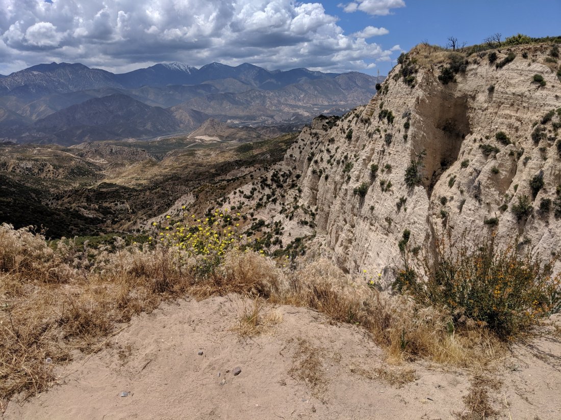
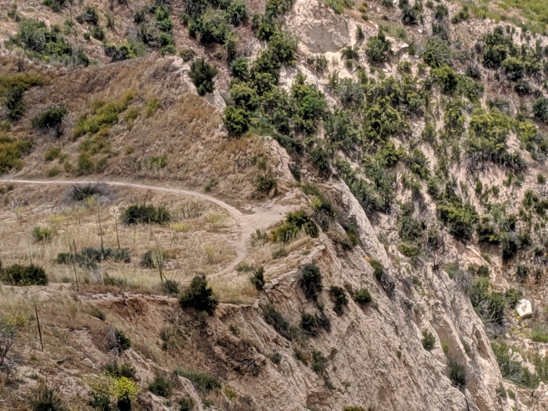
After a steady descent, I ended up at Cajon Junction, where the PCT meets I-15. There’s a McDonald’s, Del Taco, and Subway there, so I headed to McDonald’s and dropped $18 on a large bacon quarter pounder (“Royale”, for my metric-system friends) meal, ten chicken nuggets, and a flurry (I refuse to put “Mc” in front of anything other than McDouble), while hanging out with hikers consuming a similar amount of food. We hung out there for a couple hours.
Cajon Junction to Wrightwood
A group of four of us left McDonald’s to go another five miles to camp. Aside from when Torsten was with me, and at the beginning before we lost Chris to the sarlacc pit, I’ve mostly been walking alone, and chatting to people at water stops. This was a refreshing change of pace, though I doubt it will become a regular thing until the Sierras. I was with Alex aka Sunshine, who is from suburbs east of Sacramento (Cameron Park or Shingle Springs); Trevor aka Machine, who is from Seattle but lives in Nashville; and Shea (no trail name yet), who is from Chicago. All of us seem to be between the ages of 25 and 35 (Sunshine may be a bit younger) and had a lot to talk about, so it made for some easy time passing.
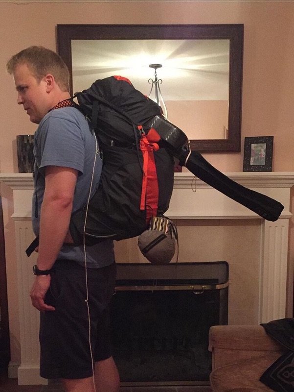
Also, the trail went annoyingly under some train tracks, and I had to crawl because the neck of my guitar sticks up about a foot above my head.
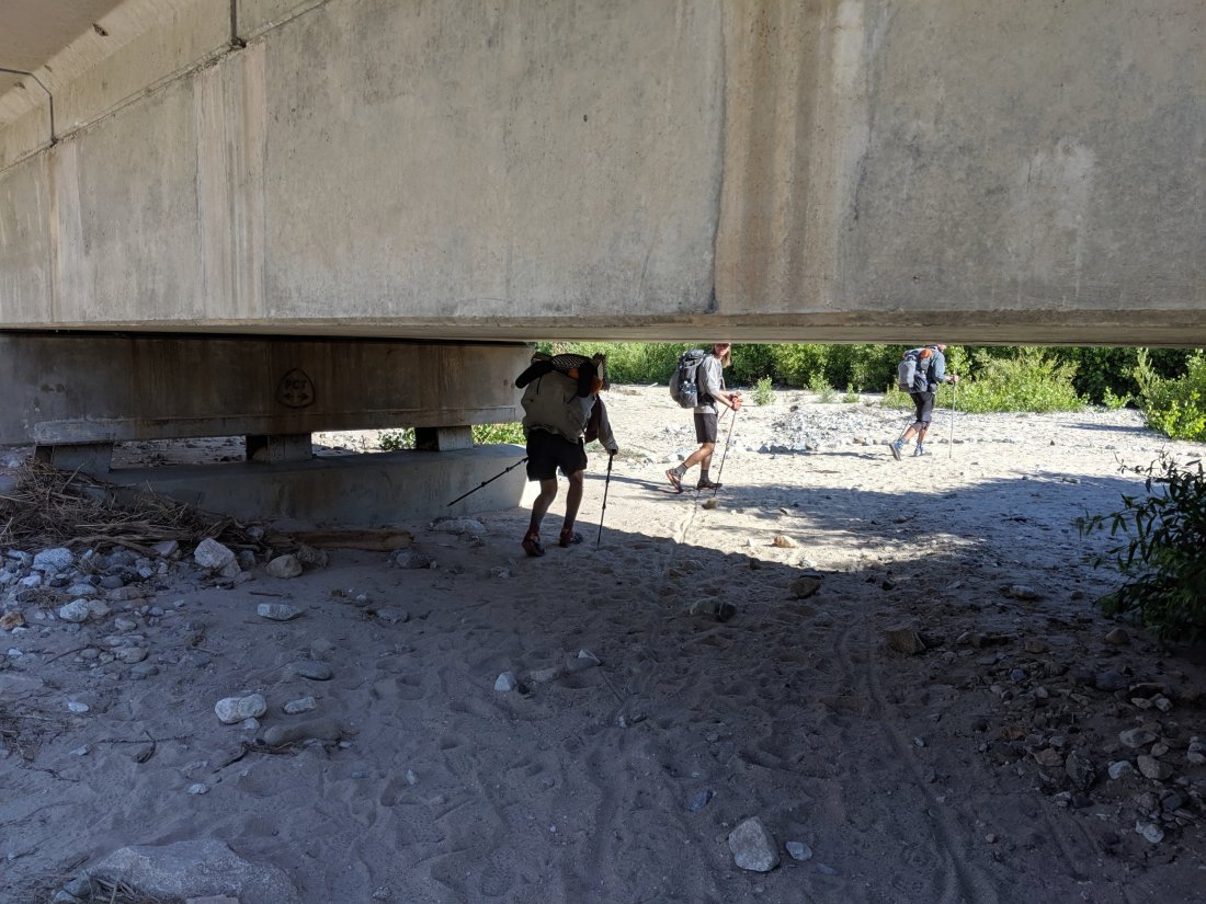
Five miles later, we made camp at a water cache. In the evening, just as we were going to bed, two women appeared to refill the water, and also brought a bunch of Del Taco food. I had three burritos and two tacos. Yum!
On Day 22, the first day of my fourth week on the trail, the program was to ascend all day out of the Cajon Pass area into the San Gabriel mountains, with about 5,000 feet of ascent over 15 miles or so.
The first half of this was pretty monotonous, with no shade and a constant gradual climb. Nice views to the rear though.

After a few hours, some pine trees began to appear. They looked really funky though, like they had been burned in a fire and were sprouting new pine trees from the branches of the old one. Never seen anything like that before.
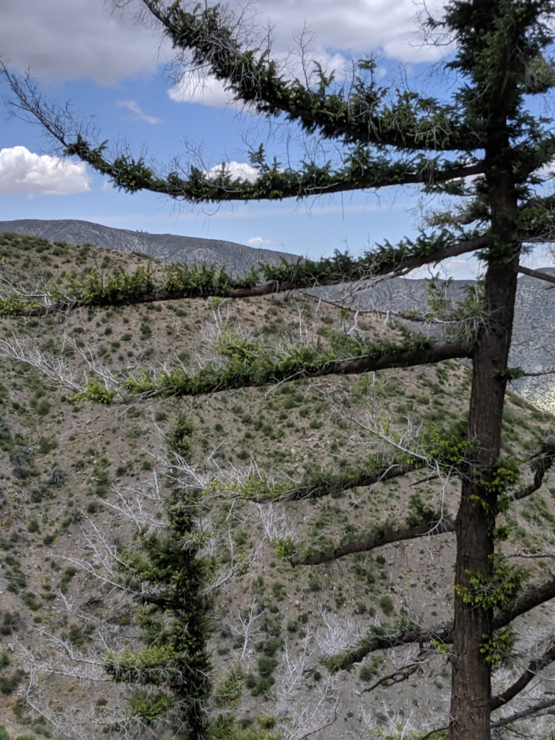
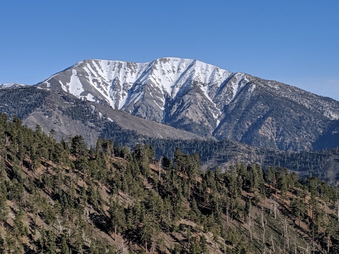
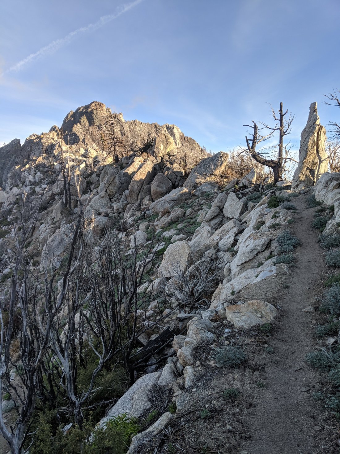
Finally I reached the crest of the San Gabriels, near Mt San Antonio, the highest mountain in the range and in Los Angeles County, as well as the namesake for Mt San Antonio College (Mt SAC), where a huge high school cross country running event takes place every year.
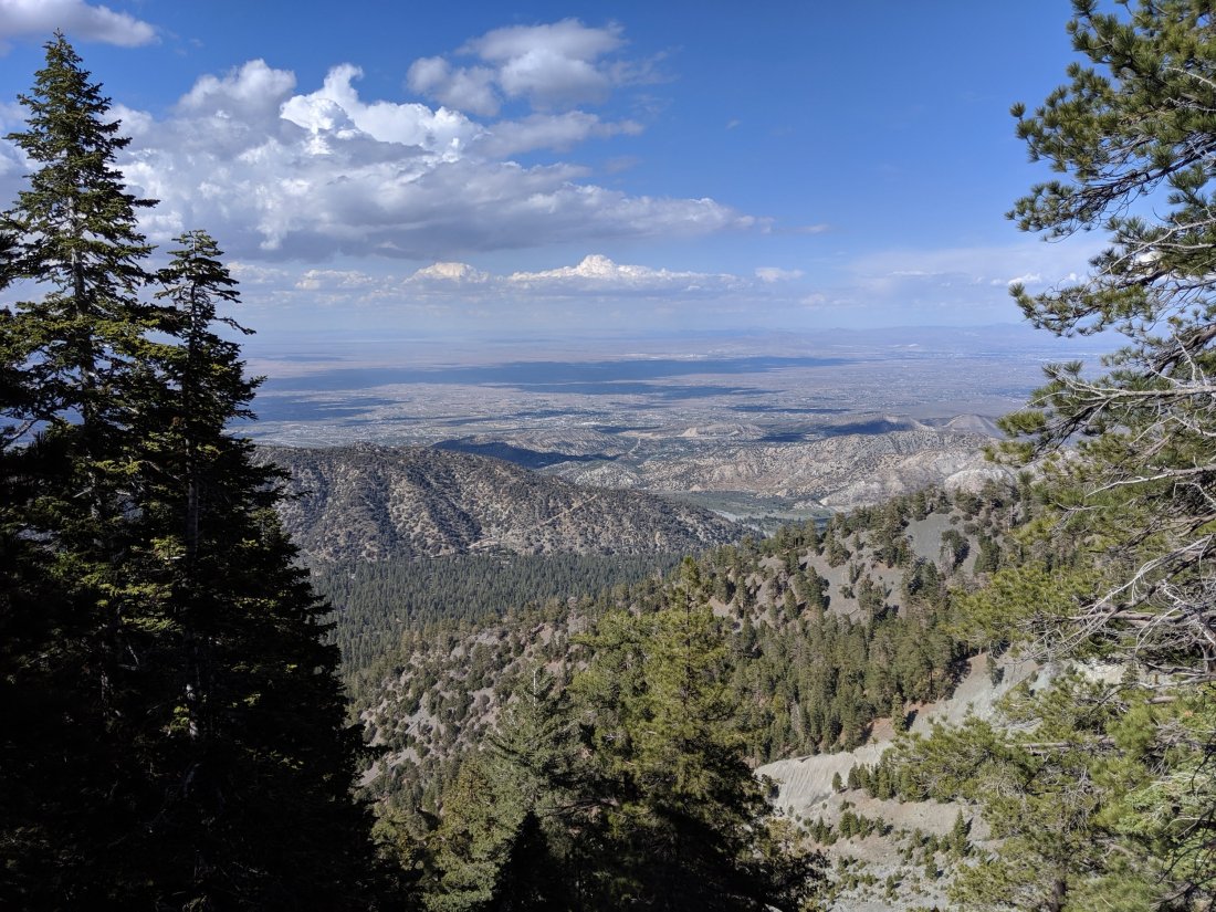
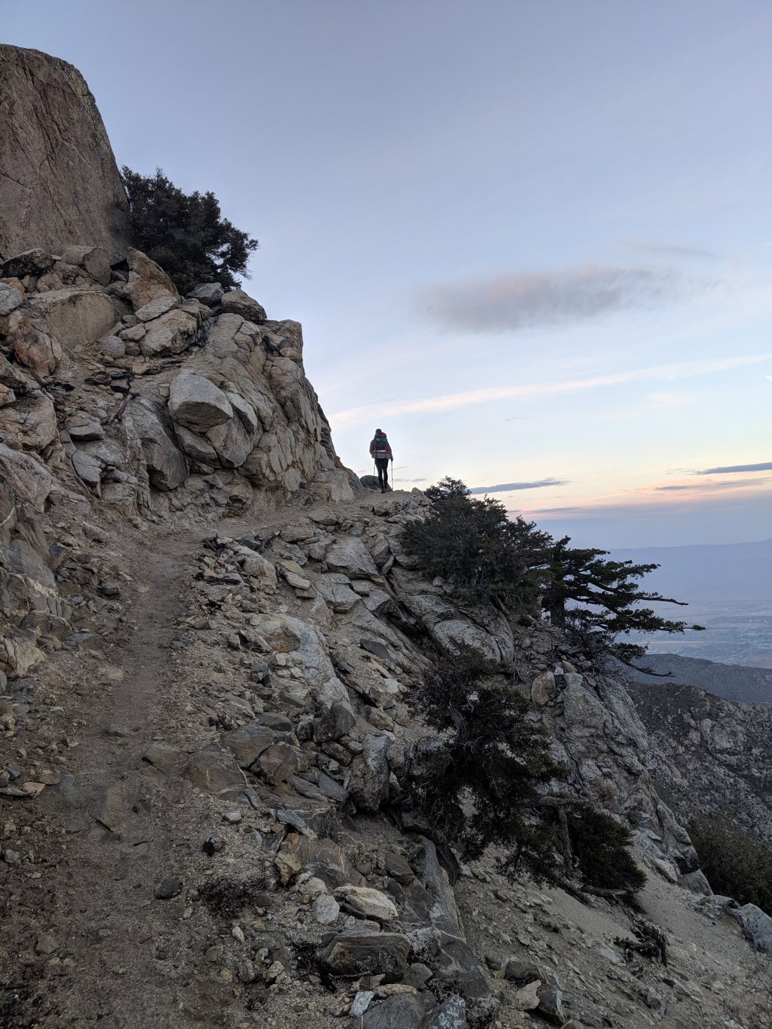
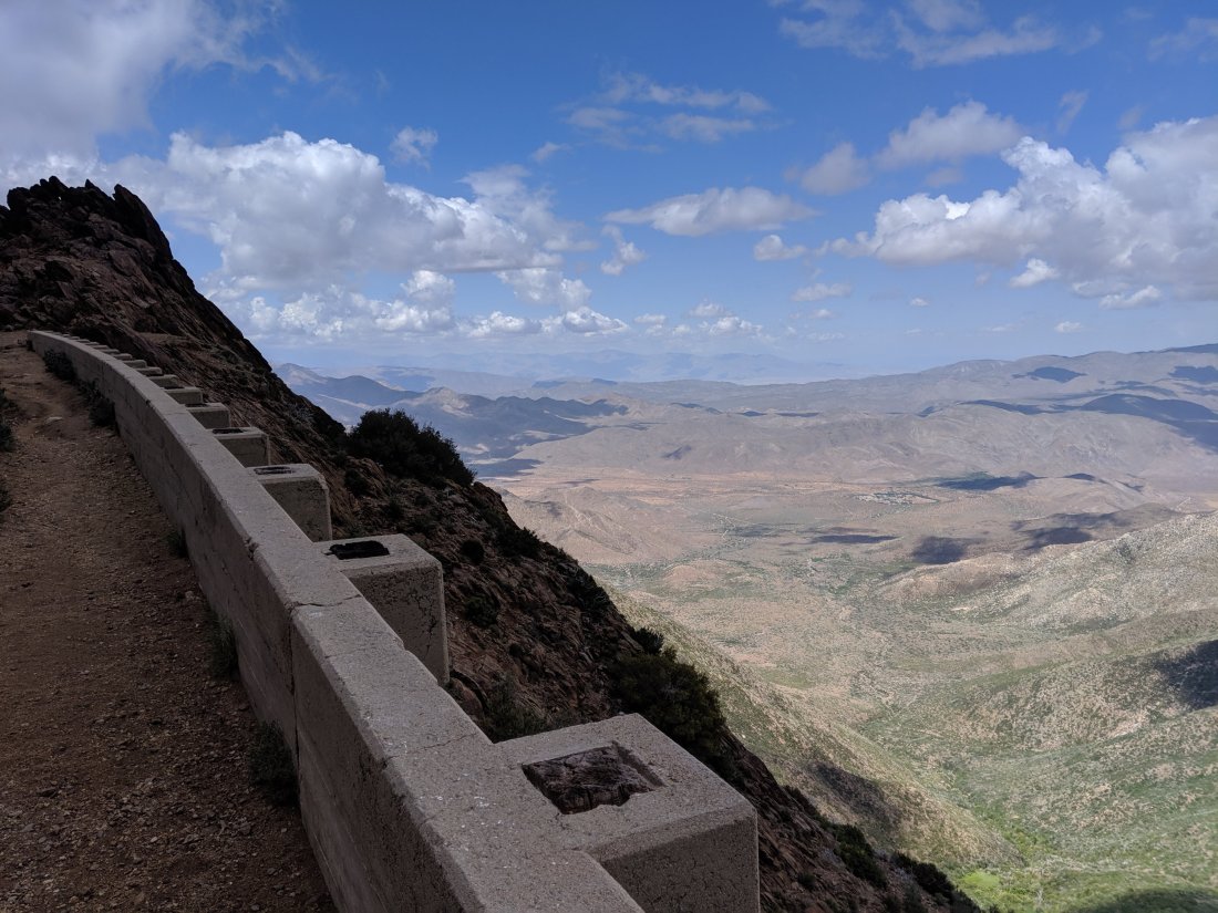
Also from the crest were some great views out to the Mojave Desert, and what would be awesome views of Los Angeles were it not filled with smog 24/7.
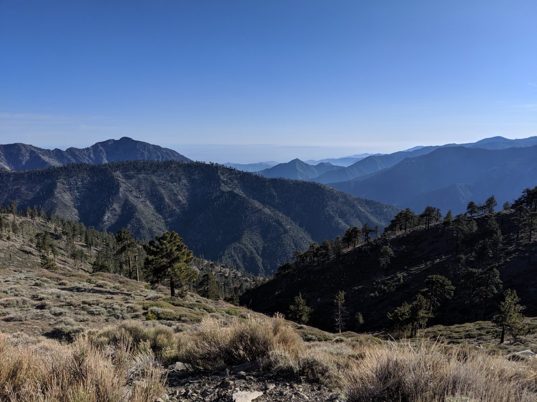
Eventually, 22 miles after the start of the day, I descended a bit to the Angeles Crest Highway (Hwy 2), and hitched a ride into Wrightwood for the night. After seeing one other person the entire day, I ran into three other hikers at the road (including Trevor), who had just managed to flag down a big van. The guy who drove us is a cameraman working for a Democrat challenging Republican congressman Paul Cook (one of only seven in California), so he’s got to shoot footage across the district, which is huge and runs all the way from north LA county up to Mono Lake. Had a nice chat with him about politics.
After dinner, I split a room with three different hikers, where I am currently still lying. I think I’m going to spend the rest of the day in Wrightwood, as I haven’t taken a full day off in a week and a half (I took half a day in Big Bear), and I think my body needs a little recovery time. I’ll report more on the town of Wrightwood in my next post. Ciao!
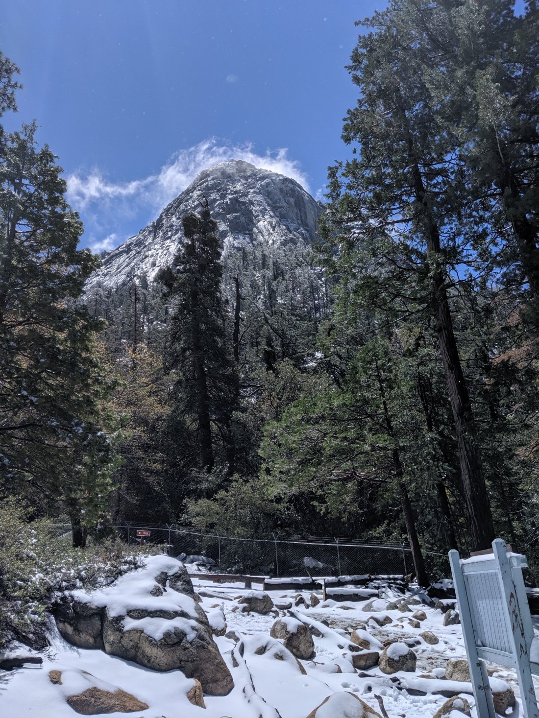 I had wanted to do the side trail up to the top of San Jacinto Peak (around 11,000 feet), but decided against it because: (1) I was alone; (2) I knew there would be a lot of snow up there which could mean slow going and possibly danger; and (3) I thought another storm was coming the next day, so wanted to make sure I made it below snow level that day. The next day I spoke to two young women who had done it without any supplemental equipment, and in retrospect it would have been nice to do it with them, but they left before the post office opened. Anyway, it was a bit disappointing not to be able to do it, since that would have been the highest point of hiking in Southern California, but ultimately I think I made a good decision to skip it.Aside from the ascent to the PCT, during which I was walking and chatting with a couple from Denver (yes, I reminded them to vote), I was alone for most of the day and only crossed paths with a handful of people. There was no wind, and the layer of snow meant there was no ambient noise behind my footsteps except the occasional bird chirping and flowing creek. That wintery sense of tranquility and solitude was incredible and possibly the highlight of the trip so far. And also super unexpected, considering I’m supposedly in the desert.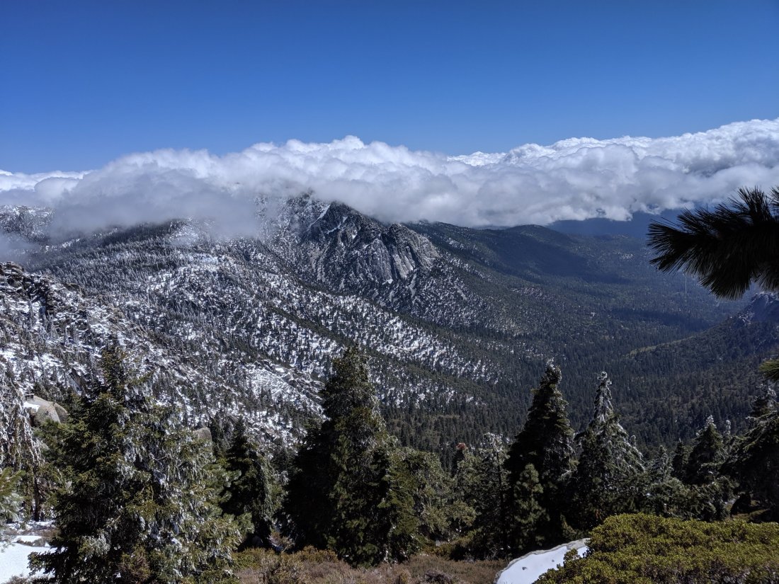
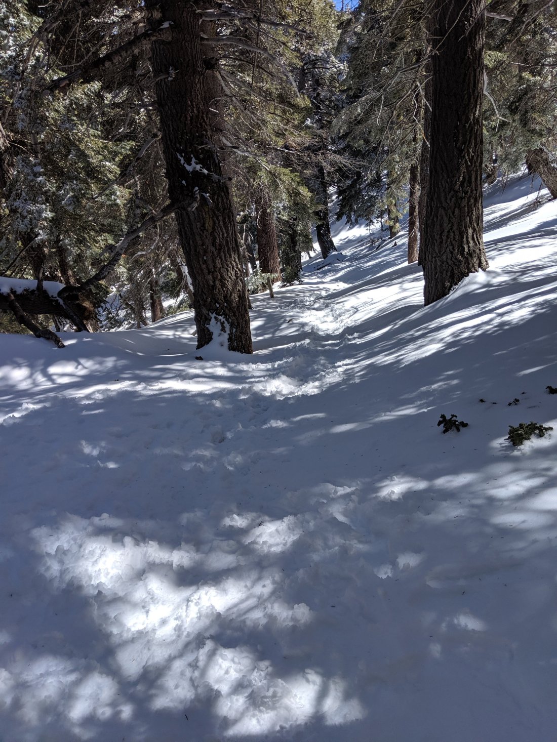
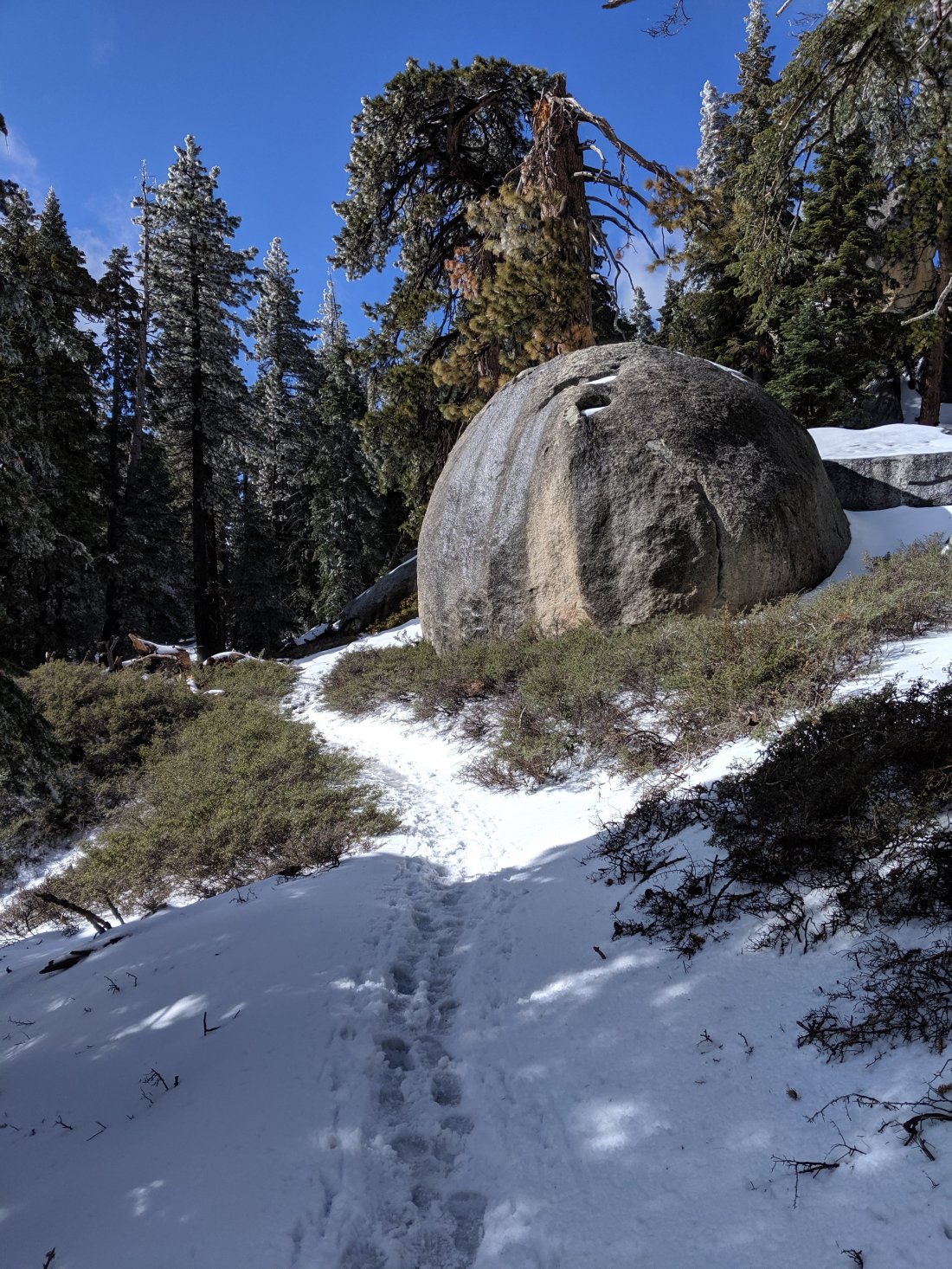
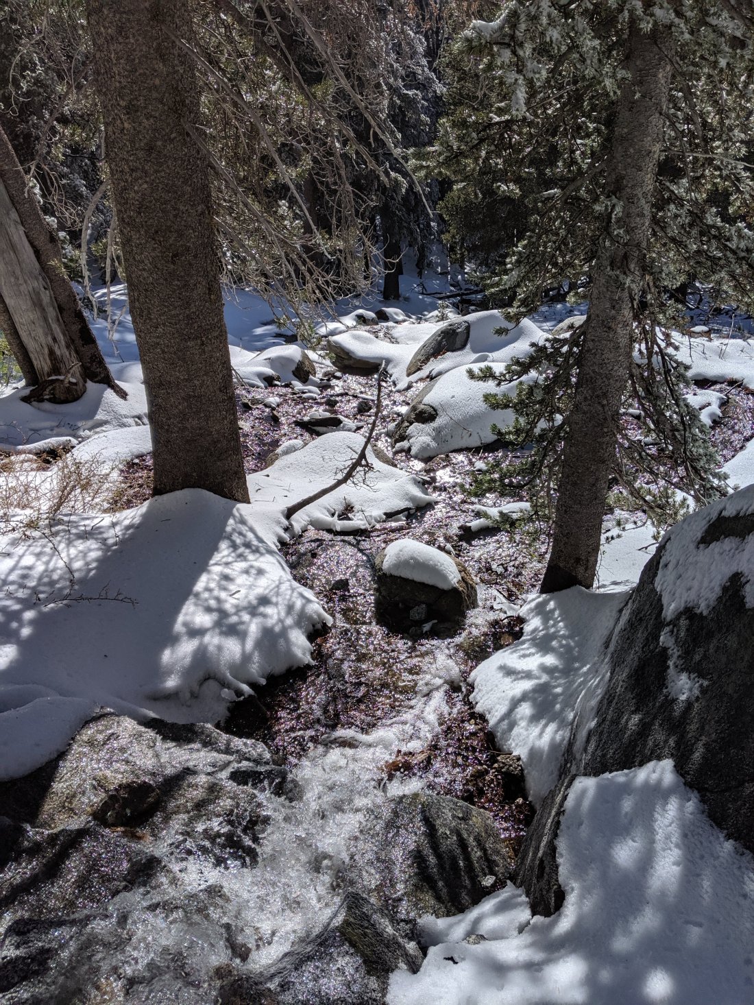
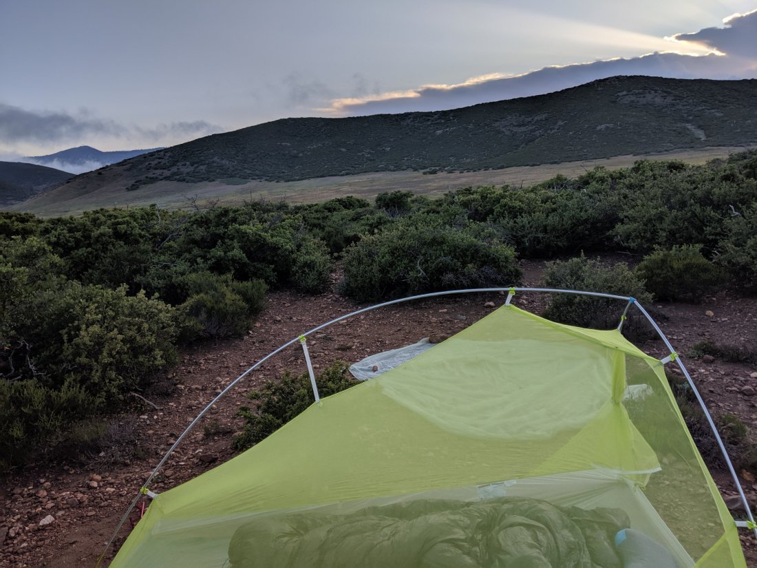
 The going was quite slow though, and I needed to do 15 miles or so before I would crest and start the long descent out of the mountains to the valley below. Fortunately, because of the snow cover I was able to cut straight across the switchbacks and had good fun glissading (i.e. boot-skiing) down some slopes which otherwise would have been a bit of a slog.I made it over the top (c. 8,500 feet) down to around 6,000 feet by about 9 pm, and set up my tent in preparation for a windy, rainy night. The precipitation never came, but my god it was windy, which made it pretty stressful to pack things up the next morning without a tent flying away.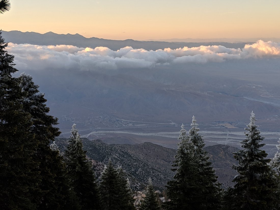
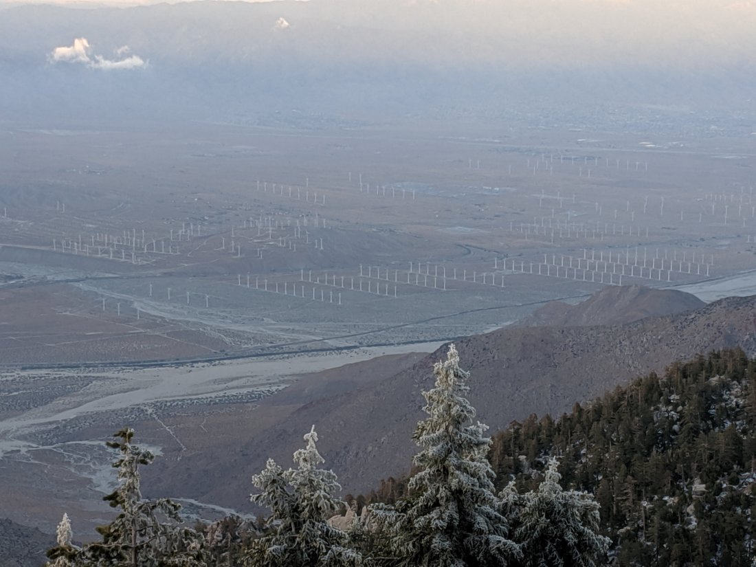
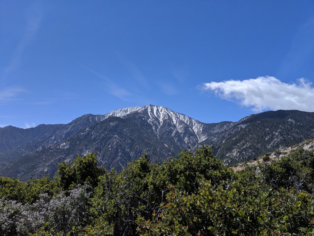


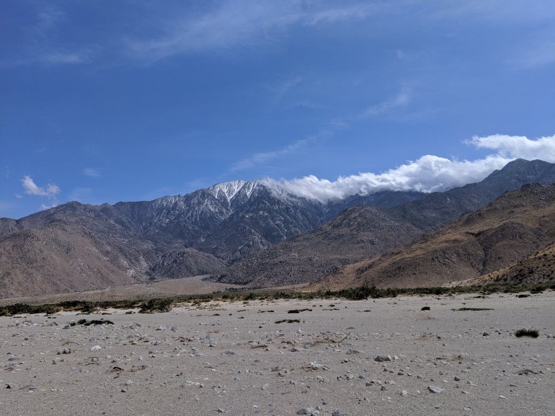 At the bottom, however, things got really windy and unpleasant. I had to walk roughly 3 miles across the flat from the base of the mountain to the crossing with I-10, which seems like it would be easy, but the winds were so strong that it was difficult to keep balance, let alone walk quickly. By the end, I was walking in sand, which made walking even more difficult and also meant that I was getting blasted with sand every couple of minutes. Now I know what a sandstorm feels like.I believe Southern California topography means that this area is always very windy, as cool ocean air rushes through the low passes into the inland deserts. Presumably that’s also why there are a bunch of wind farms there.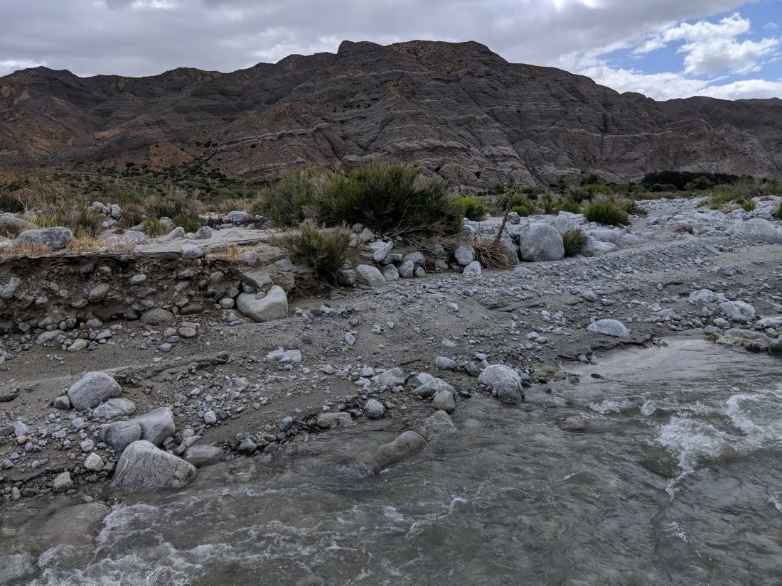

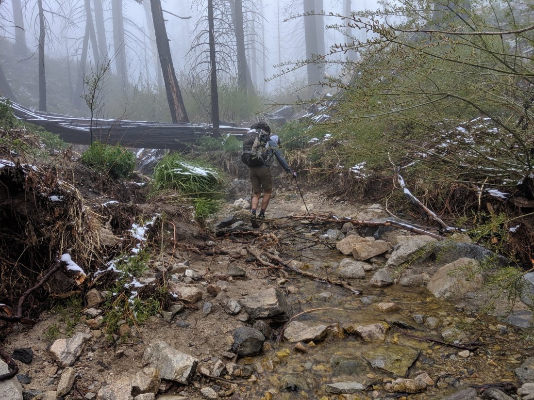 In the upper reaches of the canyon, the weather got foggy and misty, and the flora less desert-like.
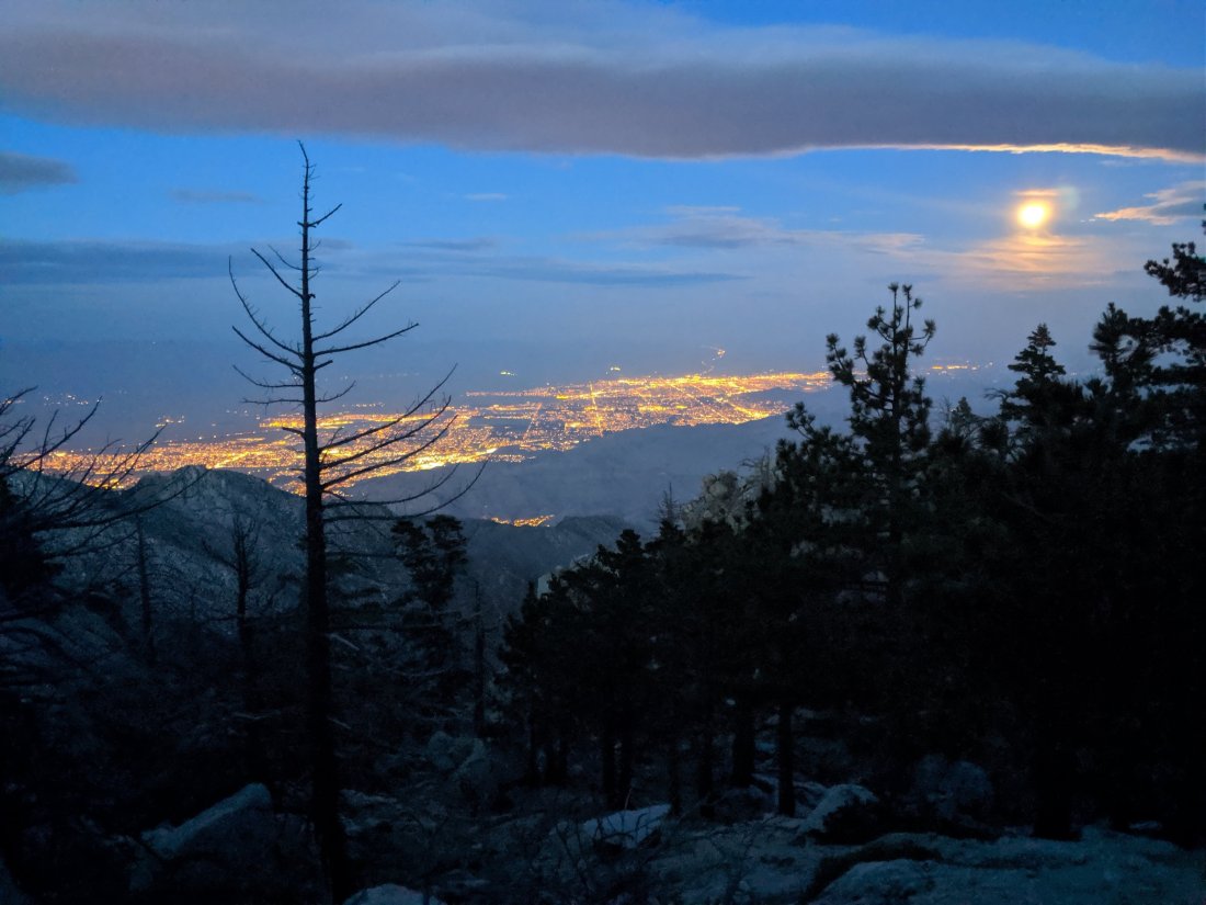
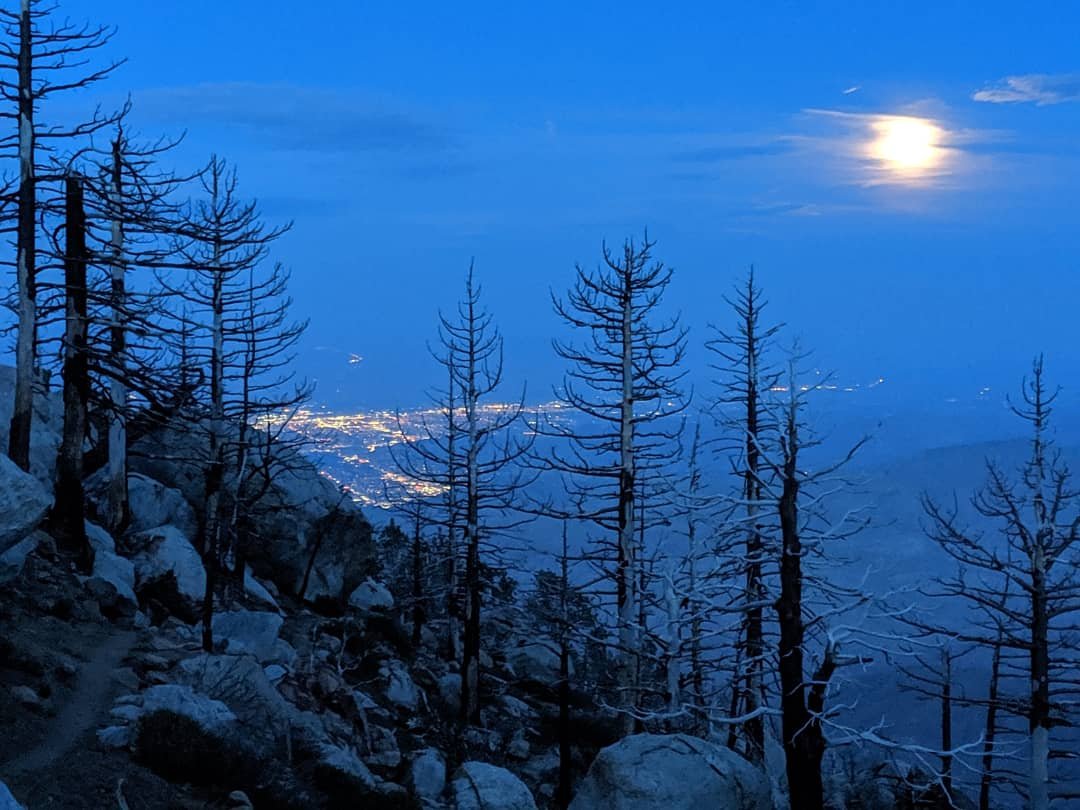
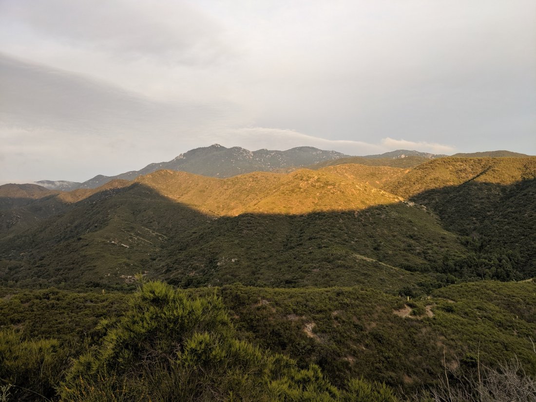
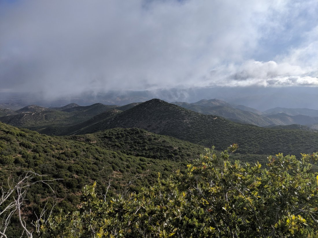
 We crossed out of that drainage in the morning of Day 16, and continued through the San Bernadinos. While visibility was highly limited for most of the day, we were mostly in pine forests on the tops of ridges for the rest of the day, all between 8,000 and 9,000 feet.We decided to push for a 24 mile day so that we could camp below 8,000 and so we could make it to Big Bear by lunch the next day, so we had a few long stretches of intense, head-down hiking.By the late afternoon, the clouds lifted, and I could finally get some decent pictures.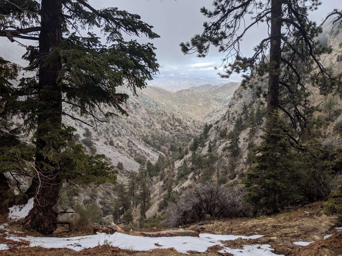
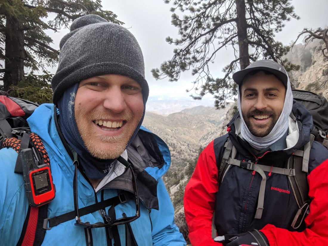
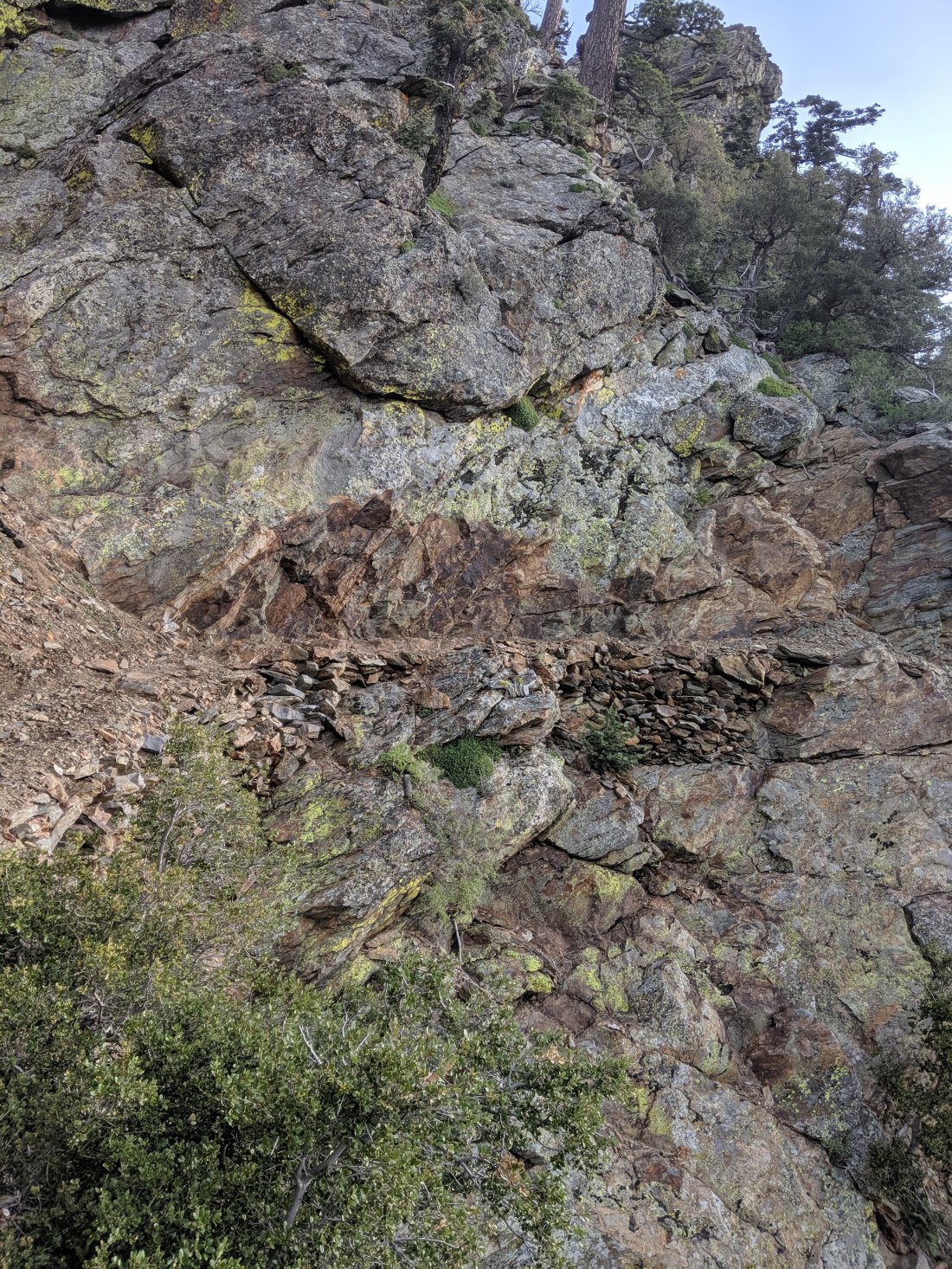
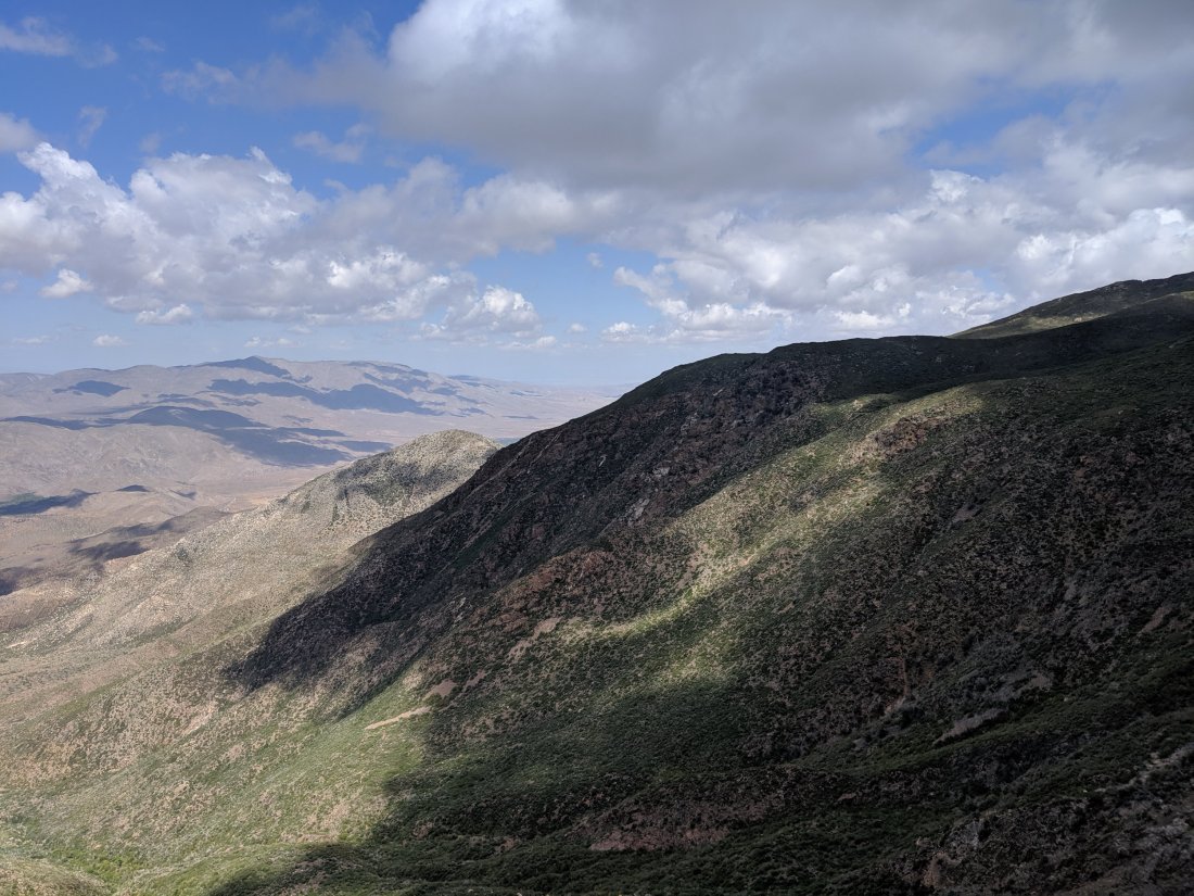
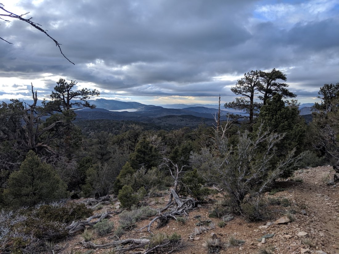 We ended the day on a long downhill into Arrastre Trail Camp, about 10 miles before the road to hitch into Big Bear.10 easy miles later we were in Big Bear. Awesome views over the northern escarpment of the San Bernadinos into the Mojave Desert.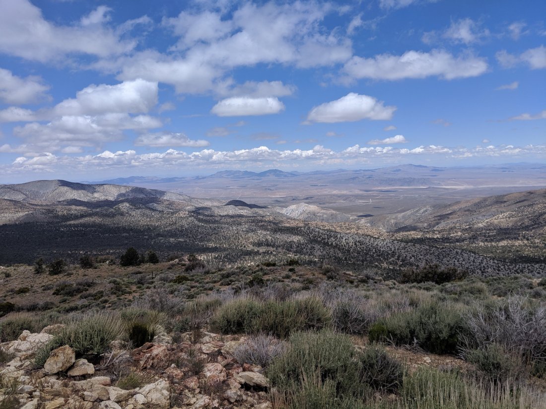














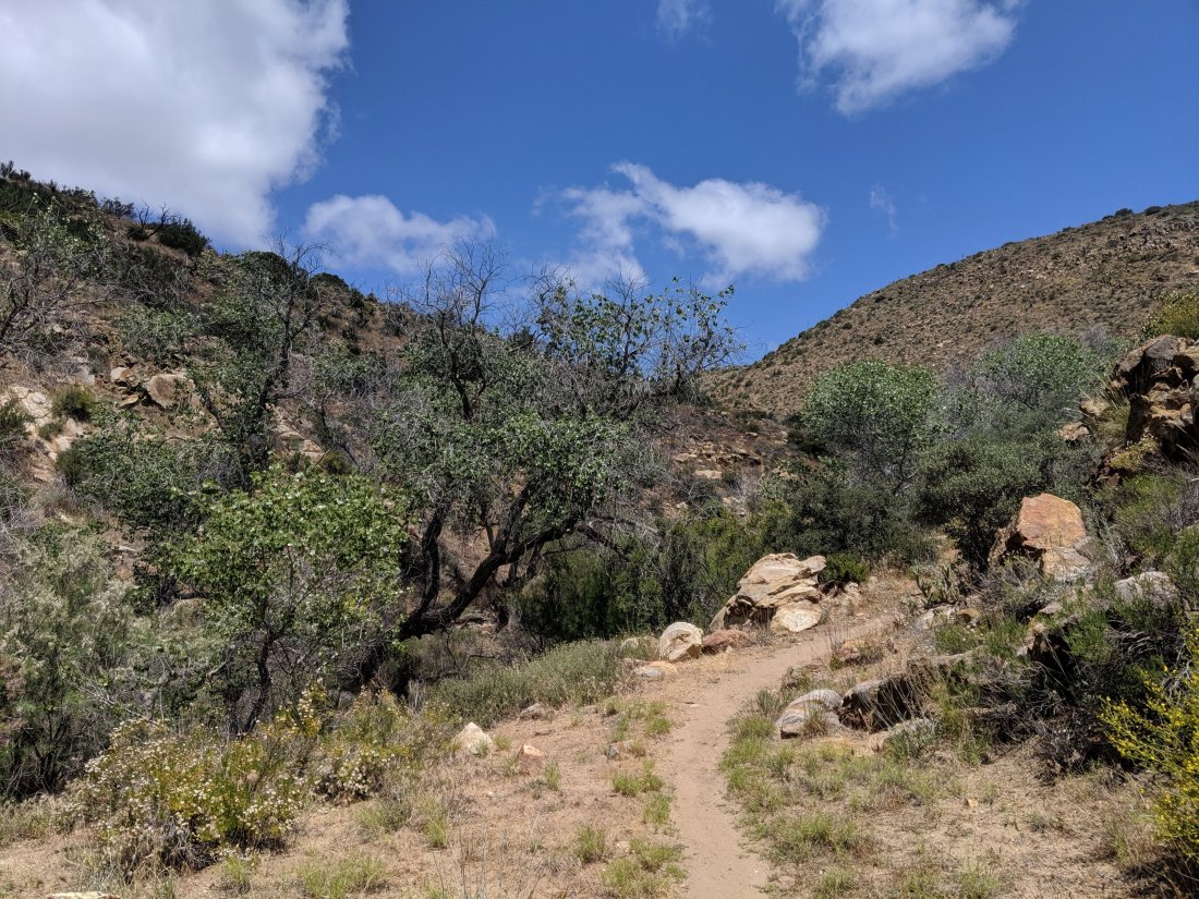



 On Day 7, I got up early and was hiking by 7 am. It was another 9 miles to water and the weather was supposed to be hot, so I wanted to get to the water early. We’re in a pretty dry section of trail, so this water source was actually a bunch of jugs of water left by PCT Association volunteers at the end of a truck road. It was quite a natural place to congregate, so there were several hikers there.
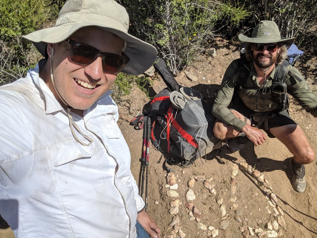
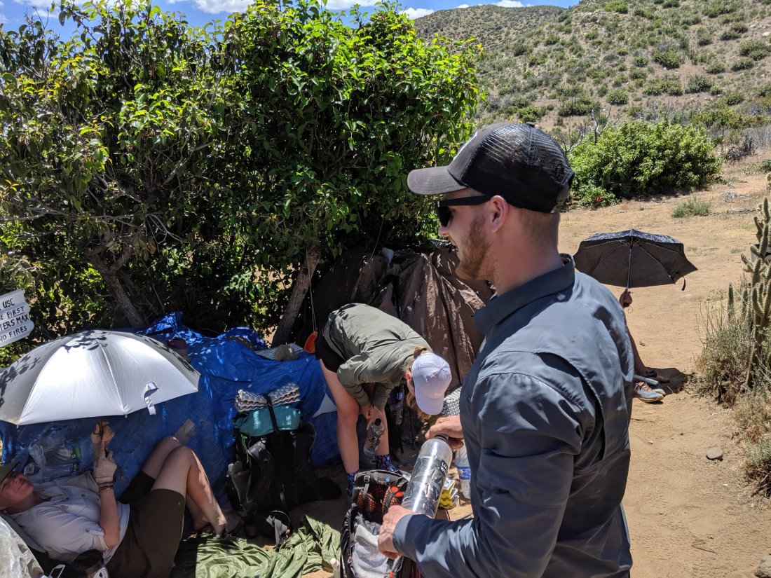 After chilling there for a couple hours, I set off for the last ten miles of the day, for the next water source. Along the way, I caught up with Jordan, and we crossed the 100 mile marker. He’s already done the whole Appalachian Trail, but making the first 100 miles was obviously a big accomplishment for me, and doing so within one week bodes well for the rest of the trail.
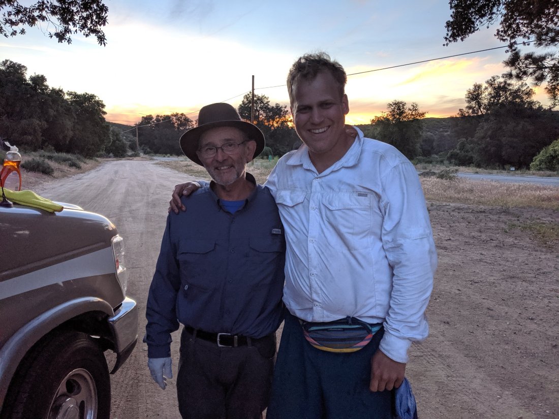
 We eventually arrived into Barrel Springs, a natural source at mile 101, with a bunch of trees around, which aren’t very characteristic of the area.We were greeted by more trail magic at barrel springs, marking my third receipt of trail magic, all by the same dude Bill. His son is hiking about a day behind us, so he seems to be driving up with his RV to approximately where his son is, and giving out stuff to passing hikers, which has been me three times. This time it was beer and salted foot baths.
 And that’s it for now. I’m planning to do 20 miles on each of the next four days until my next stop in Idyllwild, though there’s a store I’ll be passing today for resupply.
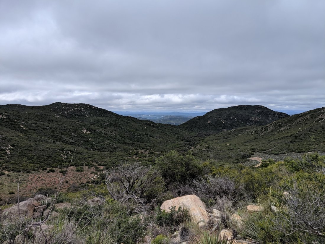





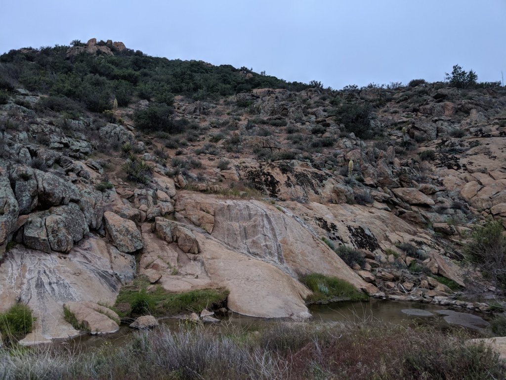
 Eventually we made it to Kitchen Creek, where we scrambled down from the trail to the creek for dinner and sleep. Unlike yesterday, which was crowded, our campsite was totally empty when we arrived, and by a very charming creek.(Kitchen Creek)
 Before too long a couple other guys arrived, finishing off their first day (a 30 mile push). These guys are insane (though independently so, as they only just met this morning) – one of them is 15 years old, aiming to do the trail in 80 days, and is carrying 4.5 pounds on his back, not including food and water. We hung out with Wiki and this kid Milo for a bit, sang some songs, then went to bed.We took a pretty leisurely pace throughout the day, so we actually went slightly less far than we did yesterday, and had quite a lot more time to do so. I found that to be a bit frustrating at times, but I think both Chris and I feel physically and mentally better today than as night, so I think it was wise to relax a big more.Tomorrow we push to Mt Laguna by lunchtime, where we can do a partial resupply and gobble up the local mac and cheese.To sleep now in order to wake up super early to make it to Mt Laguna by lunchtime. Thanks for reading!

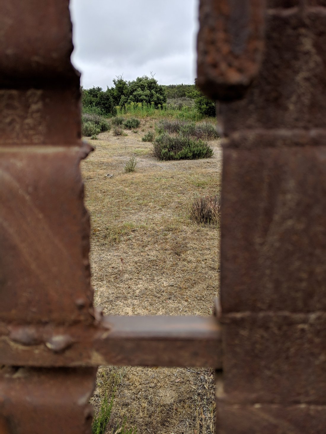
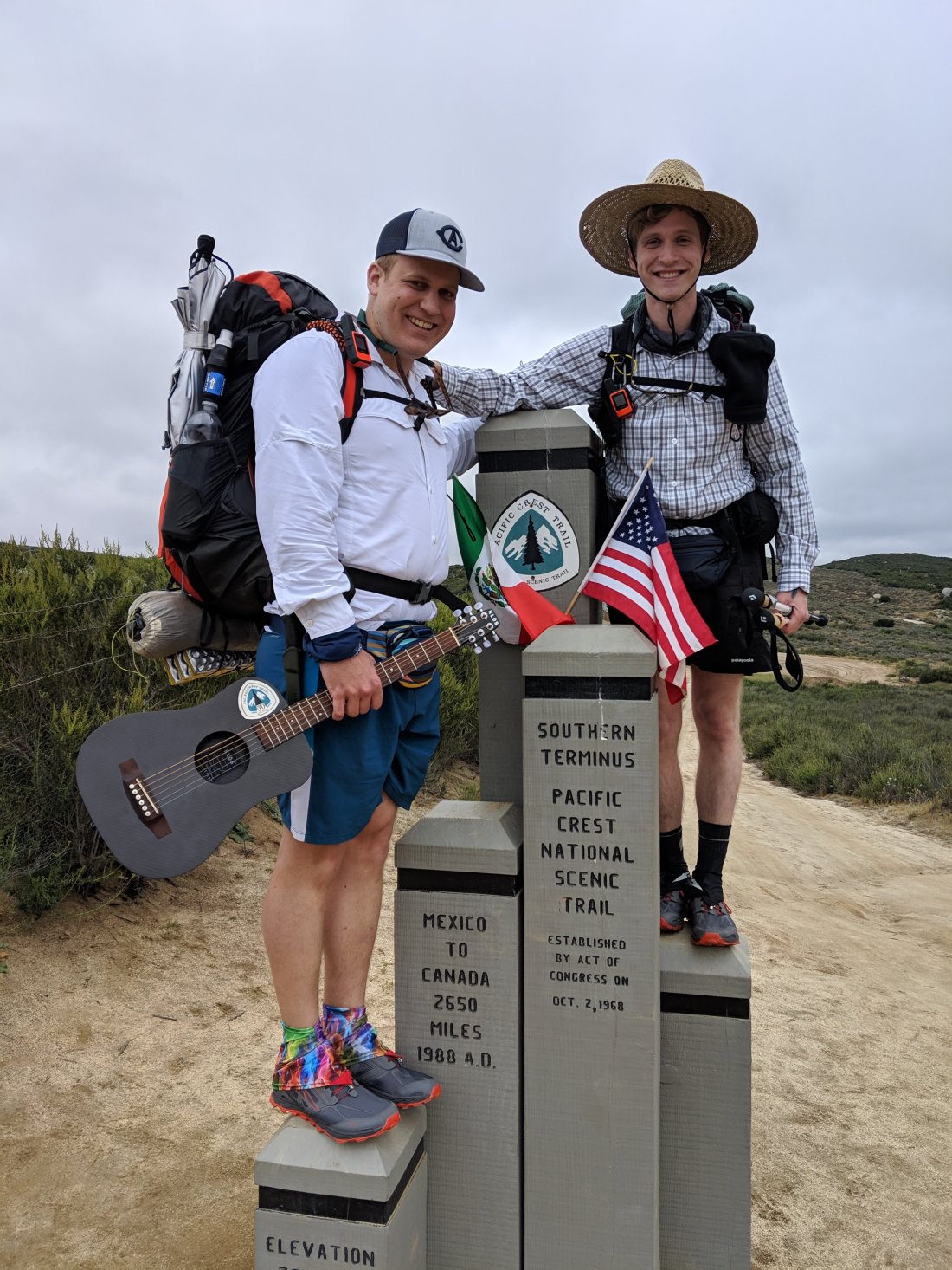 (Staring through the fence into Mexico.)
 (Staring at Canada in the distance)
 The first few miles were relatively flat and meandered around near the border. Got captured and tied up to the railroad tracks by one Snidely Whiplash, but was saved in the nick of time by my Dudley Doright.(Little progress, much left to do).
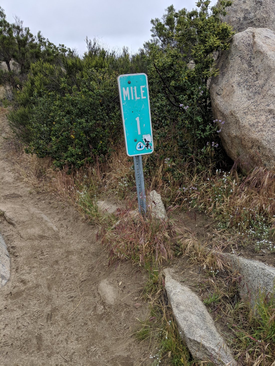 (Impending doom)
 (My Dudley Doright!)
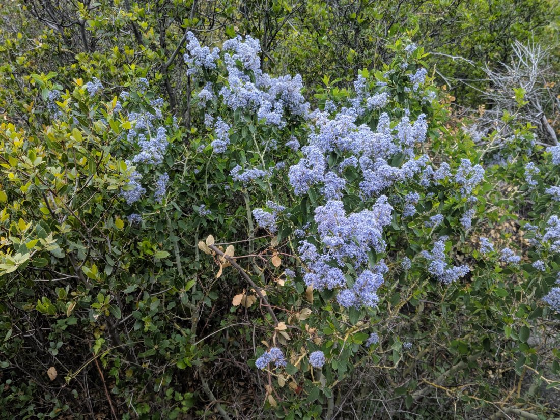
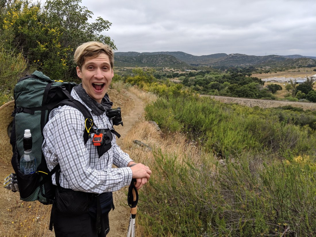 The trail then turned north and began heading into the Laguna Mountains. The weather all day (and all week, I hear) was cool and foggy, making it feel more like a summer day in the western half of San Francisco than something which is called “desert”. That was a real boon, as I was worried about the harsh transition to both a strenuous lifestyle and baking heat. The latter will come before long, but hopefully I’ll be on board with the former by that point.Flora is a mix of some bushes, small cacti, some super rad ancient manzanitas, petrified forest.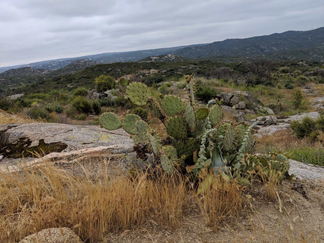
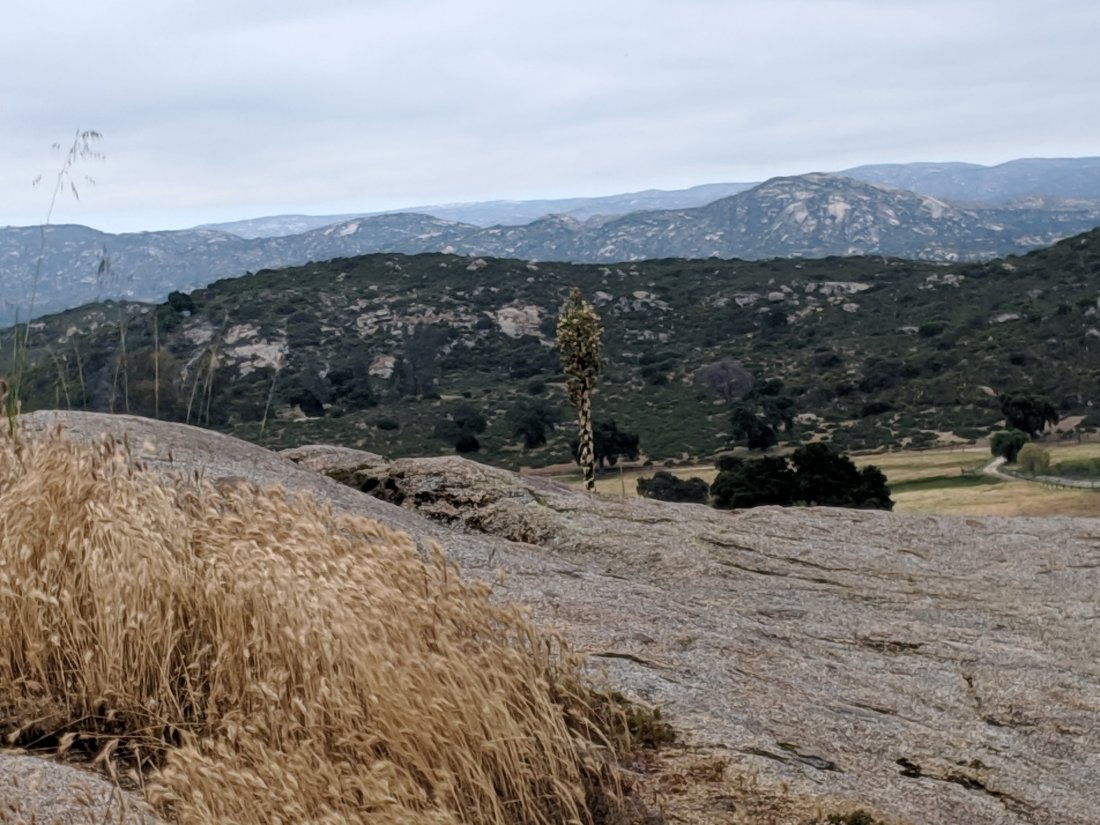
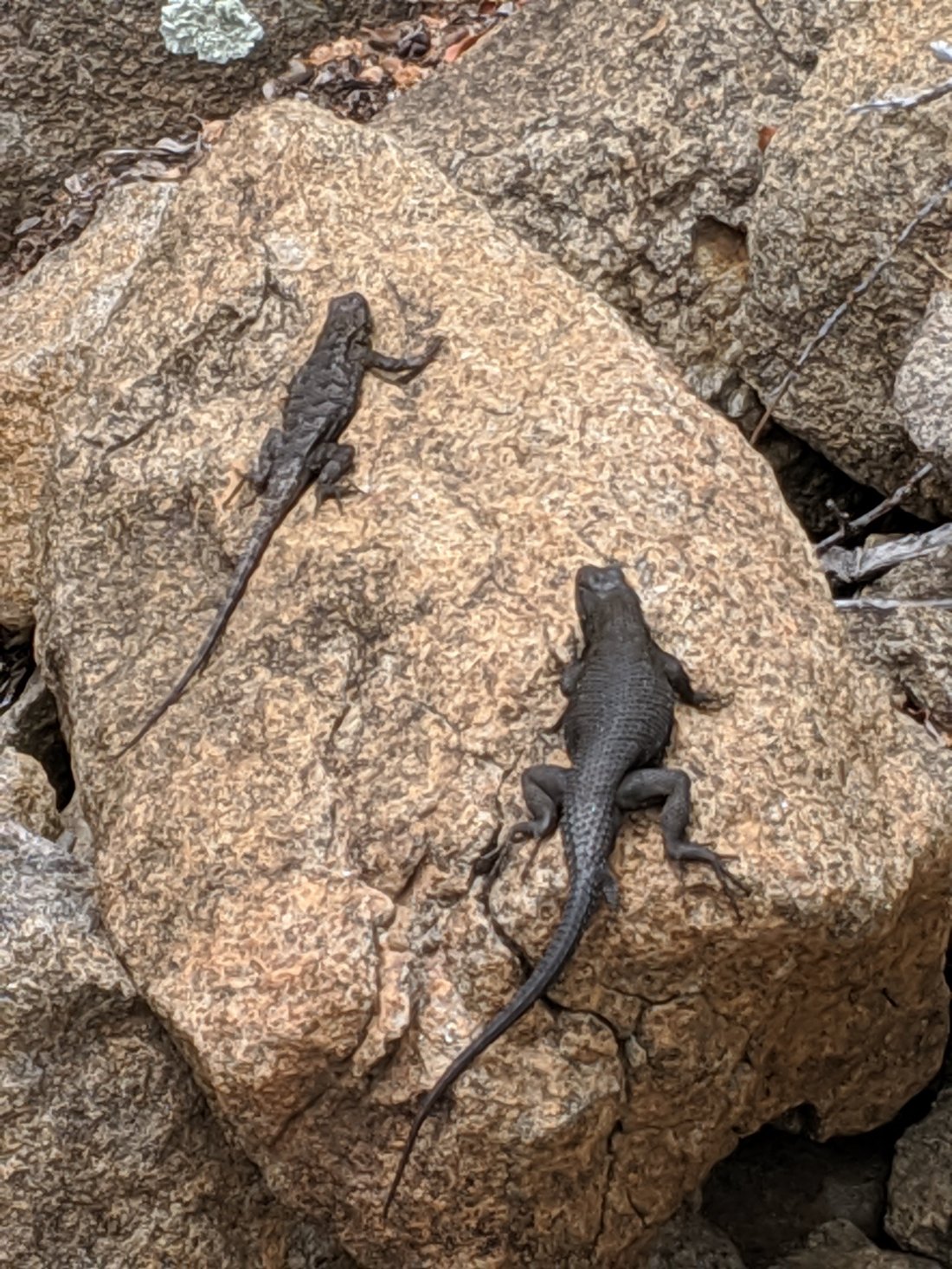
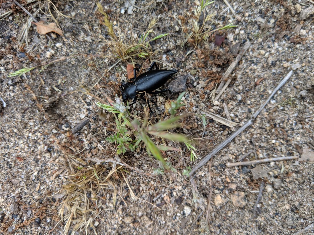
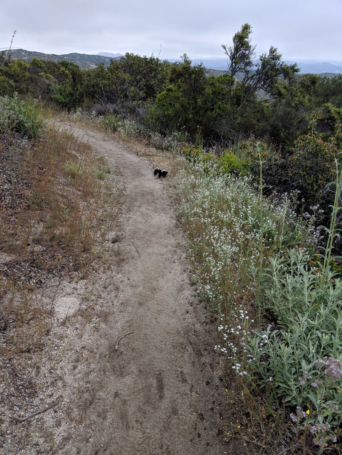
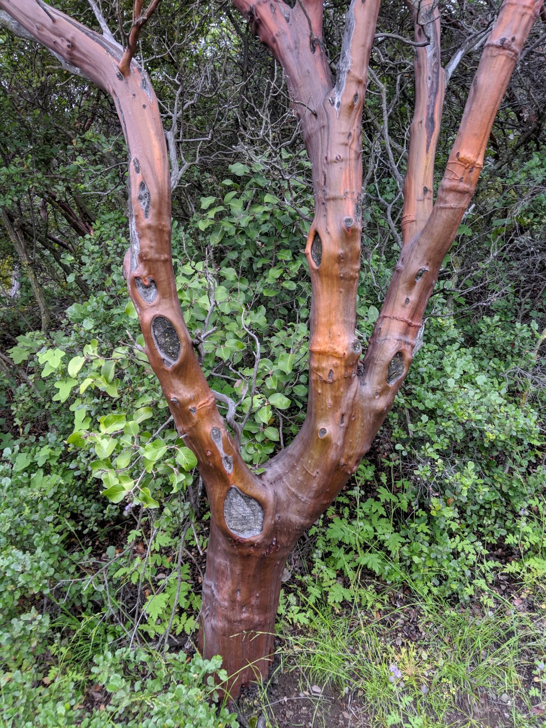 Fauna so far includes some funky looking bugs. Cold weather meant the rattlers were nowhere to be seen. I did get a bit of a fright coming around a corner to see a skunk baring its teeth at me. Fortunately it scurried off instead of ruining my day/week.(A beetle)
 (A retreating skunk)
 At the end of the day, we descended into Hauser Canyon, which has a little creek running through it. Chris wanted to go a little slower to ease the strain on his knees, so I scurried ahead to make camp and cook his food. I was feeling pretty good and wanted to see what a 3 mph pace feels like, so I basically power-walked the last 4.5 miles and let my body run short downhills. In retrospect, I probably shouldn’t have done that, as my left shoulder is pretty sore now from the repeated bouncing of a heavy backpack. Shouldn’t be a problem long term, as my pack will only get lighter, but I’ll need to be a bit more careful over the next few days.There’s a pretty good sized crowd here hanging out, including a dude Nate (?) with a mandolin, so I played with him a bit and chatted with some of the others. Judging from accents, of the maybe 10 people in our immediate campsite, there are probably 8 Americans, including 2 southerners, 1 Canadian (not including me), and one German-speaker. We’ll presumably cross paths again, but there are countless people still to meet, so who knows who will stick.For now (and “now” is now Thursday morning), it’s time to pack up and hit this climb out of Hauser. I’m told there are breakfast burritos at Lake Morena a few miles down the track, so we’ll probably hold off on eating until then. Today will probably be another short day (10-15) miles, but with all day to do it, so should let both of us recover from the stresses of day one.