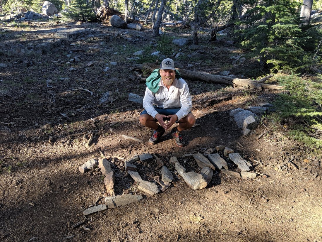
Day 72: Mammoth Lakes (907) to Crater Creek (904)
Day 73: 904 to Vermilion Valley Resort Trail Junction (878)
Day 74: 878 to near Muir Trail Ranch (858)
Day 75: 858 to Muir Pass/Muir Shelter (839)
Day 76: 839 to Upper Palisade Lake (819)
Day 77: 819 to confluence of Woods Creek and South Fork Kings River (800 + 4 mile side trail)
Day 78: 800 + 4 to Road’s End, and drive to Davis (1153)
Highlights: Big time scenery; finishing the southbound section without incident, Muir Shelter, awesome human interactions.
Lowlights: Except at highest elevations, mosquitos make it hard to stop and take it all in; Forgetting my phone at camp and adding five miles to get it.
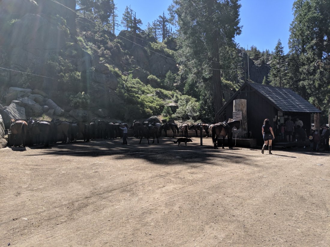
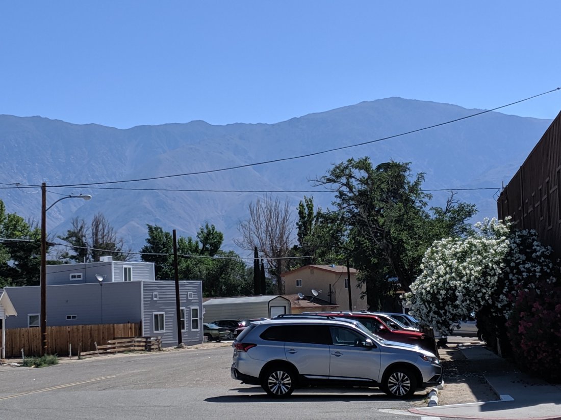
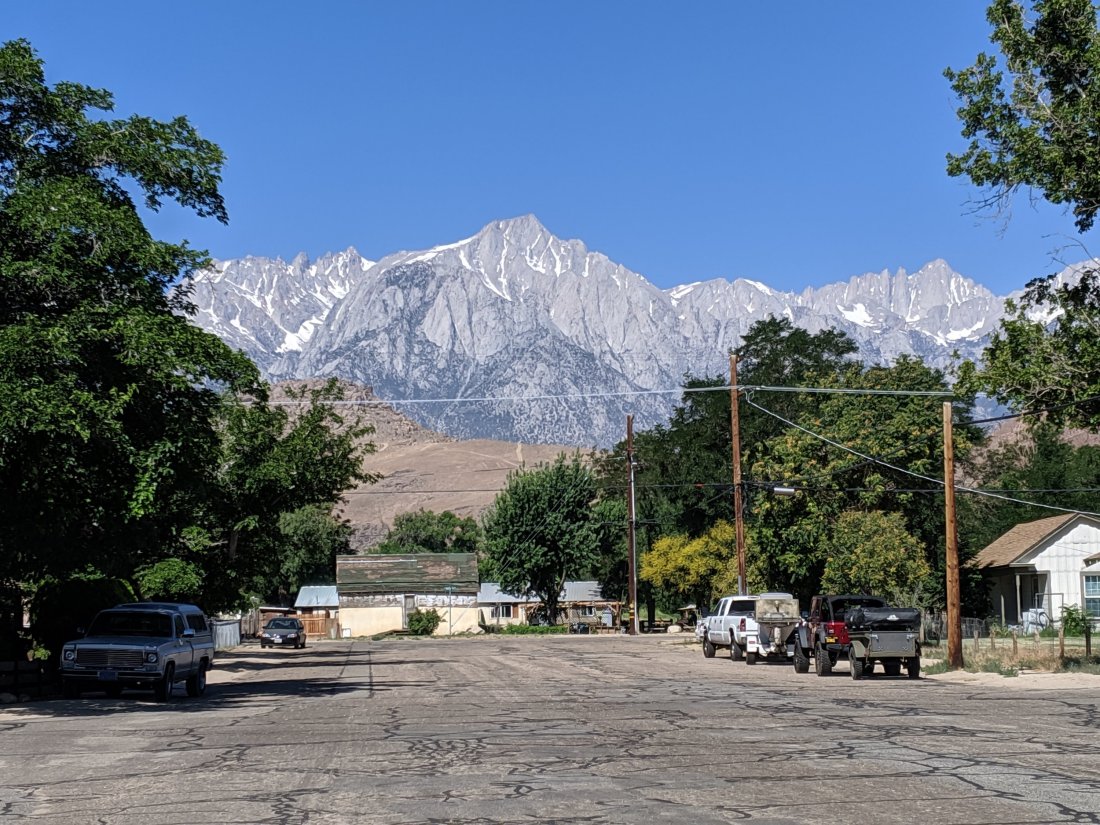
Mammoth and back out to the trail
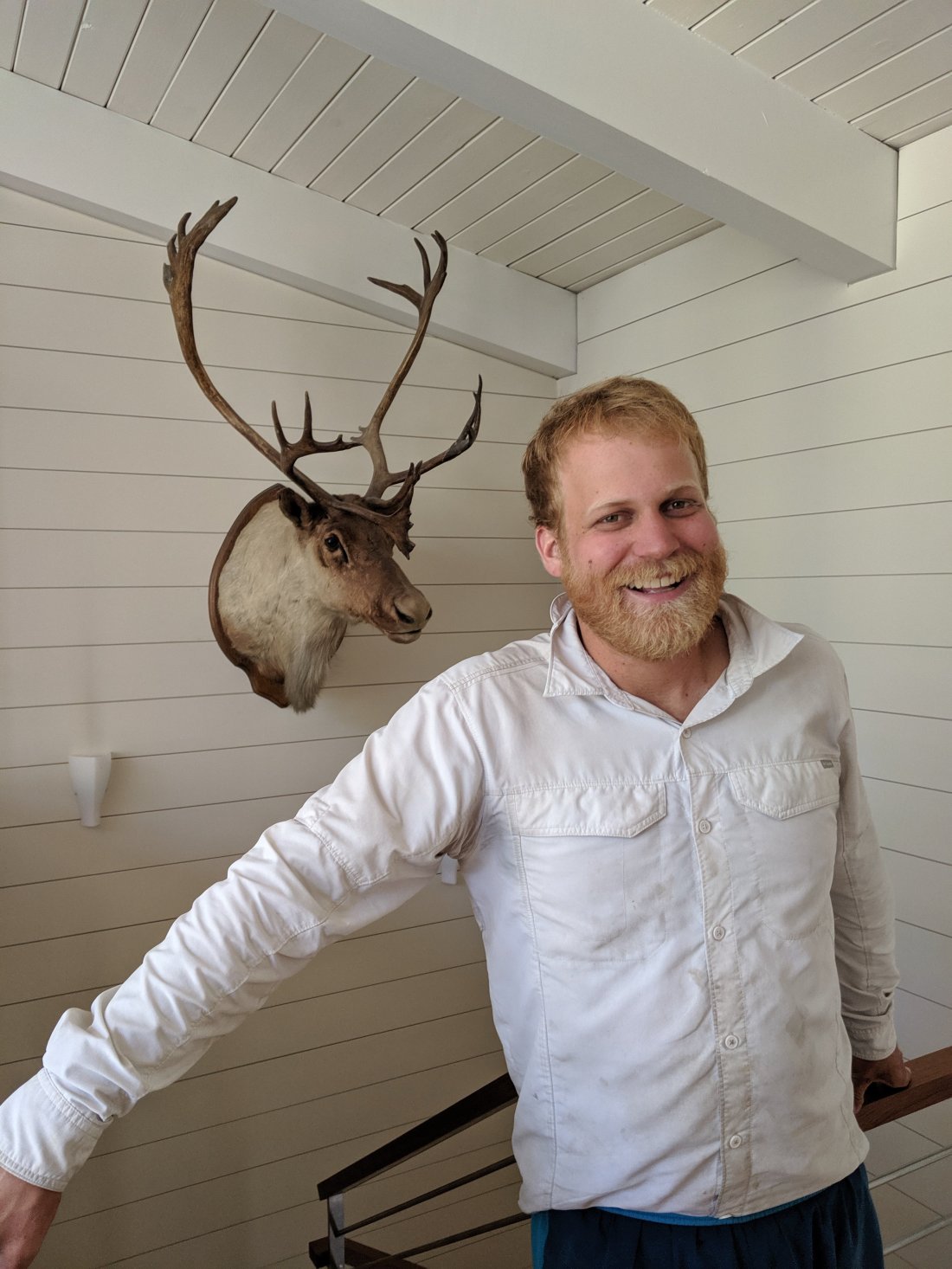
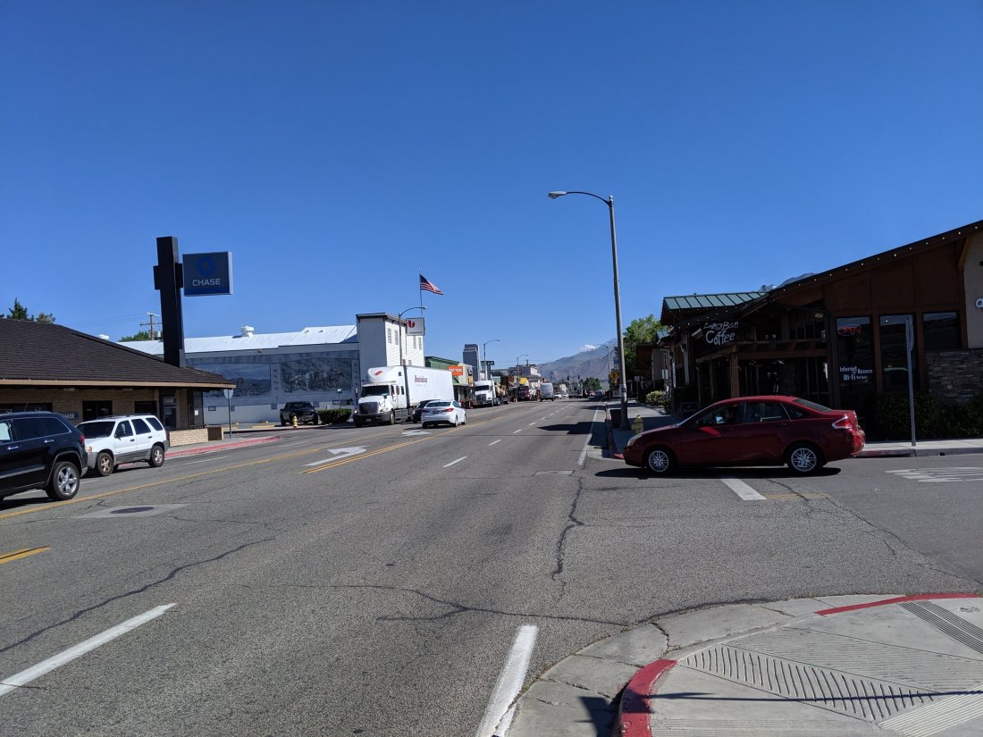
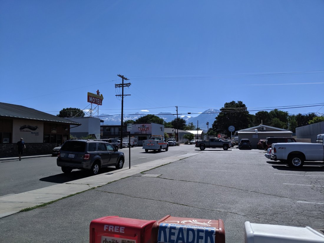
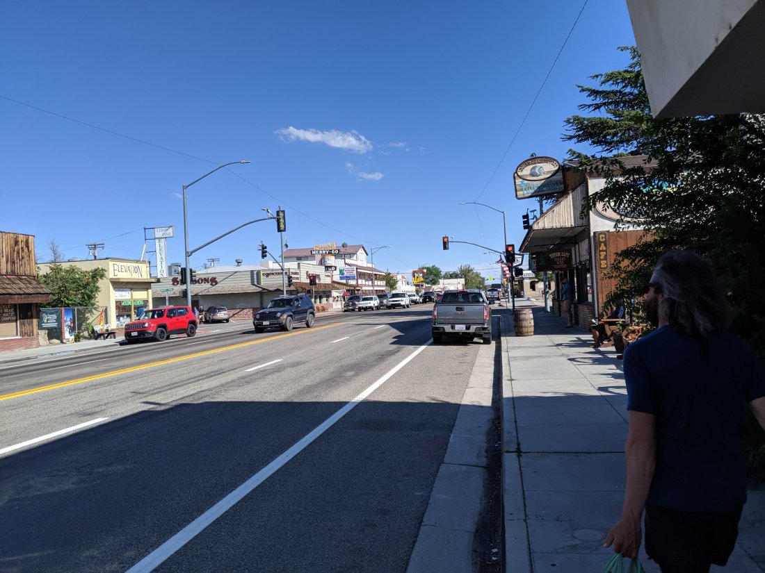
Day 72 was very much a “nearo” day, with the main hiking objective being merely to get back on the trail so that I could get in full miles the next day.I didn’t take too many pictures of Mammoth, but it kind of reminds me of Truckee but a bit bigger. Lots and lots of restaurants spread out across town, a very bourgeois central “village” where every building seemed to be a gear shop or a traditional Tirolian restaurant, a lot of ski cabins, and a free trolley that circulates town (really it’s a bus, but with the façade similar to a San Francisco cable car).
Unlike in previous towns, I hardly saw any other PCT hikers, either because I’m now south of the bubble, and/or because the town has more options to offer hikers so they didn’t all descend on a single place. I thought the Mammoth Brewing Company would be a safe bet to find the hikers: great food and beer (their 395 IPA is amazing); no other hikers.
One thing really ground my gears though, which was this vaguely European bakery whose name they styled below, evidently to bring out the Austrian vibes. Apparently nobody told them that German doesn’t have a double K, nor is it ever acceptable (in any language, as far as I know) to put an umlaut on a Y.
Anyway, cute place, but very much a posh ski resort town.
Around 6 pm I got the bus back out to the trail. I was the only passenger on the bus, and wound up chatting the entire time with doubtlessly the most interesting bus driver I’ve ever met (keep in mind that I used to be a bus driver in college, and many of my coworkers/friends were pretty interesting folks). I could probably write an entire post on this dude.
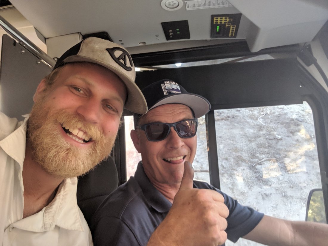
Early in the 30 minute drive, Tom, a trim middle-aged man with an unidentifiable European accent, asked me where I was headed, so I explained that I was hiking on the PCT, assuming he was just some local guy who was familiar with the concept due to proximity but otherwise not an outdoor type (his accent didn’t strike me as odd in a ski town).
I can’t remember how this segued, but he then casually dropped that he used to lead expeditions. Obviously I asked for elaboration, to which he replied that he’d led a few trips up Everest, McKinley (I didn’t correct his nomenclature), North Pole, South Pole. Knowing that Poles have a strong reputation in the mountaineering world, I asked if he was Polish. That’s when I learned that he was Swedish, but he confirmed my understanding that all the best winter mountaineers are Polish, and explained that many of the best summer mountaineers are Basque (I did not know that).
When Tom was a young man, he dropped out of his final couple of courses at the Stockholm School of Economics (for my Econ friends, SSE was home to noted classical trade theorists Heckscher and Ohlin) to start a company that did something boring, like distribute paper towels. Boring as it was, it really took off, and he and his wife Tina retired at 40.
That’s when they got bored and got into exploring/adventuring. They launched a magazine/website called Explorer’s Web, which he described as being like National Geographic but more focused on exploring. When he got into that world, he discovered that the best mountaineers usually weren’t Anglo-Saxon (plus Reinhold Messner), as NatGeo would have you believe, but were very often Polish, Slovenian, Russian, or Basque.
He and Tina did a 70-day unsupported expedition to the North Pole once in which they pulled all their stuff behind them in sleds and brought dry suits for a few necessary swims. The most dedicated readers of mine may remember my first blog post, in which I posted a link to a New Yorker article about one Henry Worsely, who died trying to traverse Antarctica in a similar fashion. Naturally I asked about this, and apparently Tom knew Henry and supplied some technical equipment for the affair, and was very familiar with the article. He was surprised when Henry had died, as apparently Antarctica is more of a mental than physical challenge.
So how does an adventurer end up driving buses in Mammoth? I’m glad you asked – so did I.
Apparently Tom and Tina have grown bored of terrestrial adventures and are hoping to launch themselves into space. Through conversations with friends in NASA, they’ve worked out that it should be possible to build a rocket for the two of them without getting into the billion dollar budgets typical for a NASA project. Tom is learning the necessary aerospace engineering on the side, which, with the exception of orbital mechanics, he says isn’t actually that hard. Or, put another way, it’s not exactly rocket science.
They’re currently in the process of writing grant applications to develop their rocket, but in the meantime have run out of money, so have taken up part-time jobs until they’re ready to leave Earth (and presumably come back, but I didn’t ask). Tom got his commercial driver’s license about a week earlier and was in his first day driving in service when he drove me. Tina works part-time at the Piute Palace casino in Bishop, where I was about three weeks ago.
I haven’t been online since I heard about all of this, but apparently you can check out their project on pythomspace.com (that’s not a typo of python – apparently Pythom was some Egyptian God of space travel or something).So that was Tom. Either this was all some extremely elaborate lie, a delusion, or he’s going to be in the news someday. I hope it’s the latter, and that he is successful in his endeavours.
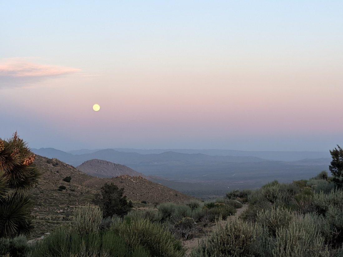
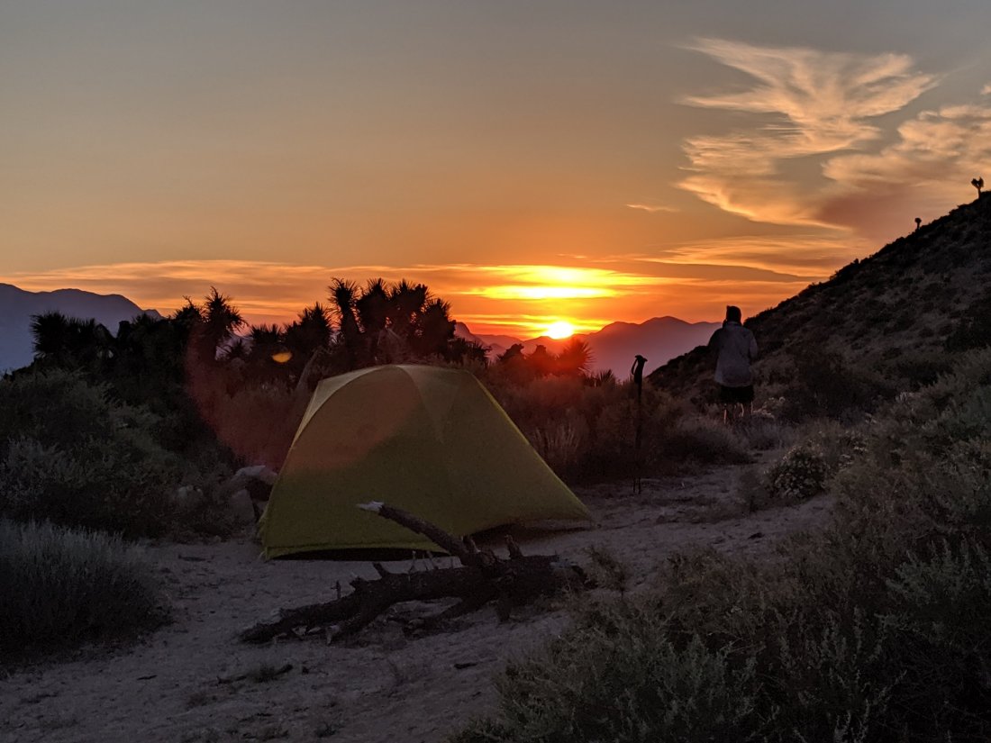
That night, after hiking only a few miles, I joined a Korean father and son duo around a campfire (the son was probably in his early 20s). Neither spoke much English, but when I asked why they were hiking the John Muir Trail, the son told me (with the help of a phone translator) that his mom had always wanted to do the JMT but is too weak, so she sent him to do it in her stead. I found that to be extremely touching.
Both father and son were also extremely generous, and gave me a shot of Soju (a Korean spirit), some fruit, and some pieces of steak. I gave them some cookies and played music for them around the campfire.
Mammoth to Muir Trail Ranch
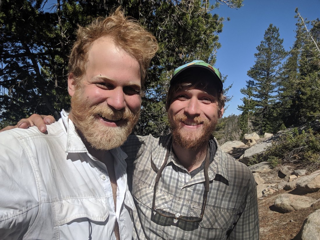
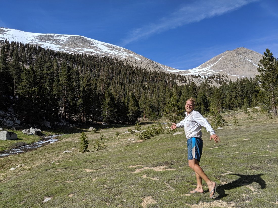
The next morning, I finally crossed paths with my long lost hiking partner, Chris “Project Runway” Rieve. I had checked his GPS location in Mammoth so I knew I would see him, but he had no idea so was pretty shocked to see me. Those of you who know him know that he is a connoisseur of tea, so I packed out a bottle of iced tea from Mammoth to give to him.
Chris says that his body is now cooperating, so he’s planning to crush mileage to catch me, and take no days off after Yosemite. I’m a bit over a week ahead of him in mileage, and before leaving London, Chris was known to stick to some pretty insane regimens for no reason (intermittent fasting, only taking cold showers, always waking up before 6). It’s possible, and it’ll be exciting if he does – I really enjoy his company, but I would have gotten quickly frustrated had I stuck to his pace at the beginning, so I’d love to hike with him if it doesn’t mean compromising daily mileage. On the other hand, my competitive side wants to beat him to Canada, so I’m not just going to let him catch me without a fight.
Chris is not the most naturally hirsute person but has nonetheless added a trail beard to the equation. He thinks it looks awful and says he might shave it off. I contend that that’s irrelevant and that he should definitely keep it. What do you think?
Another fun story of human interaction (probably these are all super lame, but I’m so starved of human interaction out here that everything seems exciting): Chris told me to say hi to his previous hiking friends, a British couple named Megan and Dom (I believe) from whom Chris had recently separated when he decided to turn on the jets (and they wanted to take their time).
About an hour after I saw Chris, I saw a couple walking towards me.
“Are you Megan and Dom?”
“Yes.”
“Chris says hi.”
“Oh, are you Søren?”
“Yes!”
“The Larsons say hi, and left you something at Muir Trail Ranch” (ed. About two days south from me at the time)
The Larsons are my neighbors from my childhood home in Davis (and where my mom still lives and I stay when I’m “back home”), and are apparently hiking the John Muir Trail. This is not hugely surprising because they seem to hike the JMT just about every year, but the fact that they were able to relay a message to me two days up the trail via people who’ve never even met me is pretty surprising.
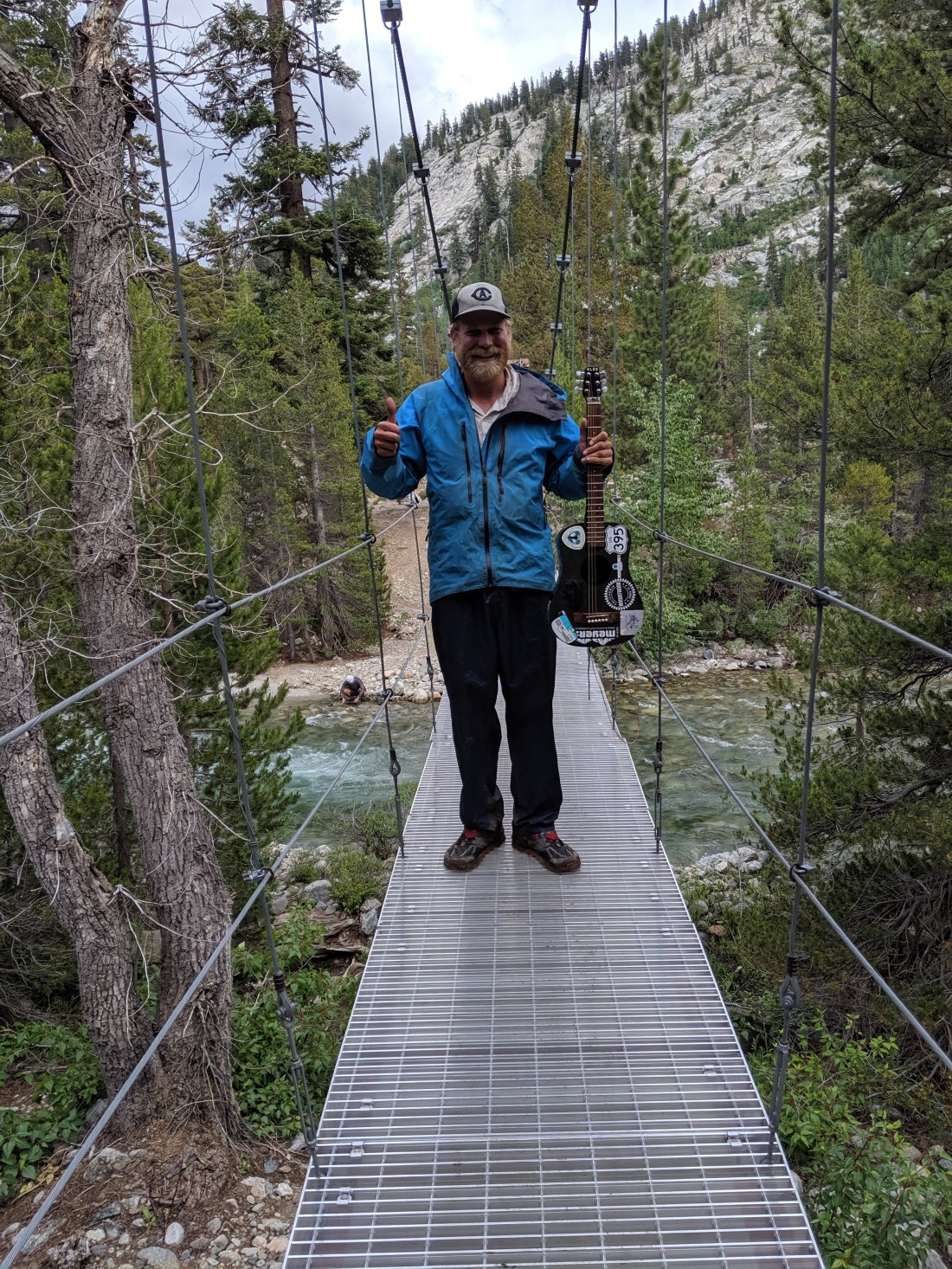
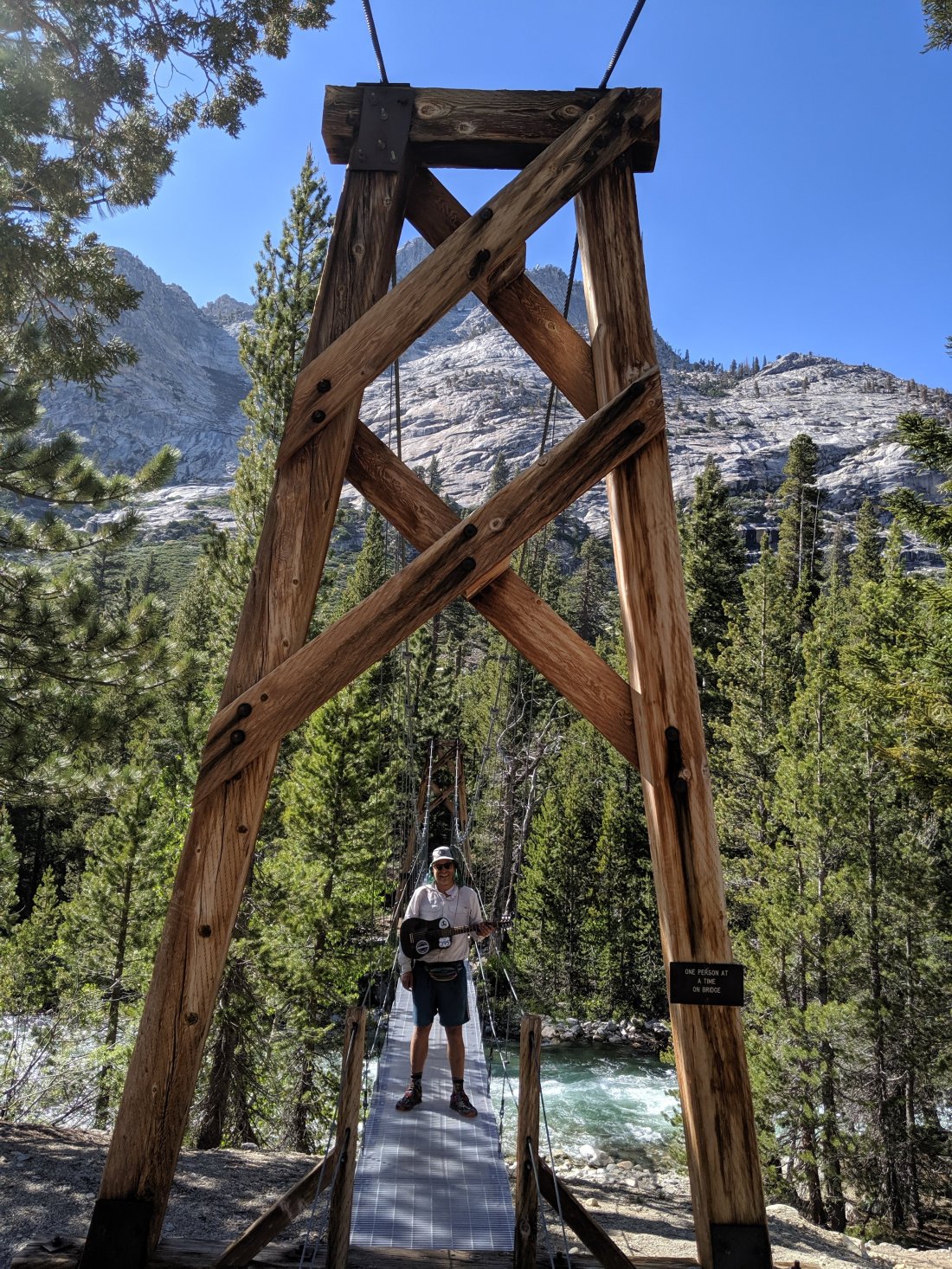
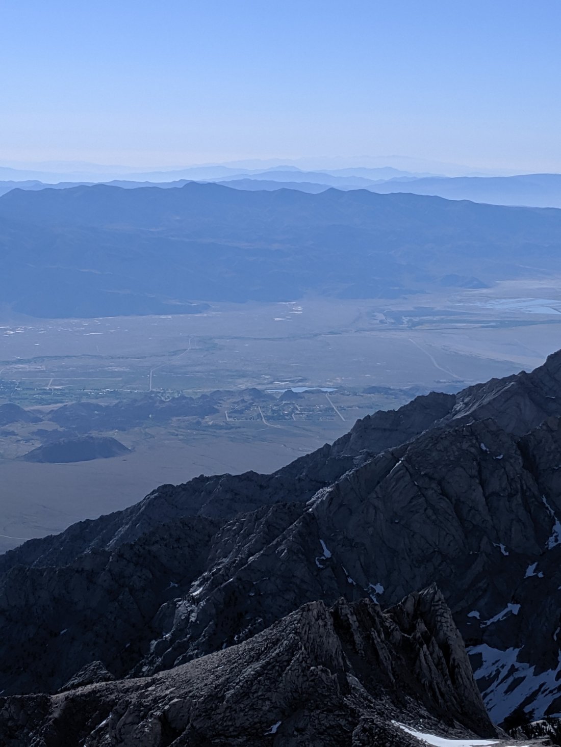
I arrived at Muir Trail Ranch at the end of the next day. MTR is small resort with cabins on the Middle Fork San Joaquin River accessible only by trail. JMT hikers also often send resupply packages there, but they have to be sent in five-gallon buckets and at a sizeable fee because they’re carried in by mules. The Larsons (who were no longer there) left me a bunch of snacks and similar goodies, plus four beers. I gave some of it away because I didn’t want to carry the weight, but an unexpected beer in the middle of a remote section goes a long way with the morale. So to whichever Larsons were involved (I never actually figured this out, but surely at least Stacy), thank you for thinking of me and for the nice boost in the middle of this section. I was hoping to catch you and thank you personally, but clearly didn’t manage (How close was I? I left the trail at the Woods Creek suspension bridge between Pinchot and Glen Passes at around 5pm on July 23rd).

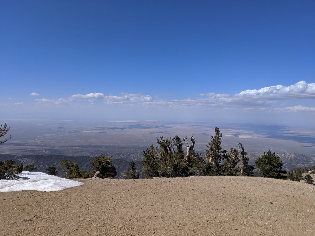
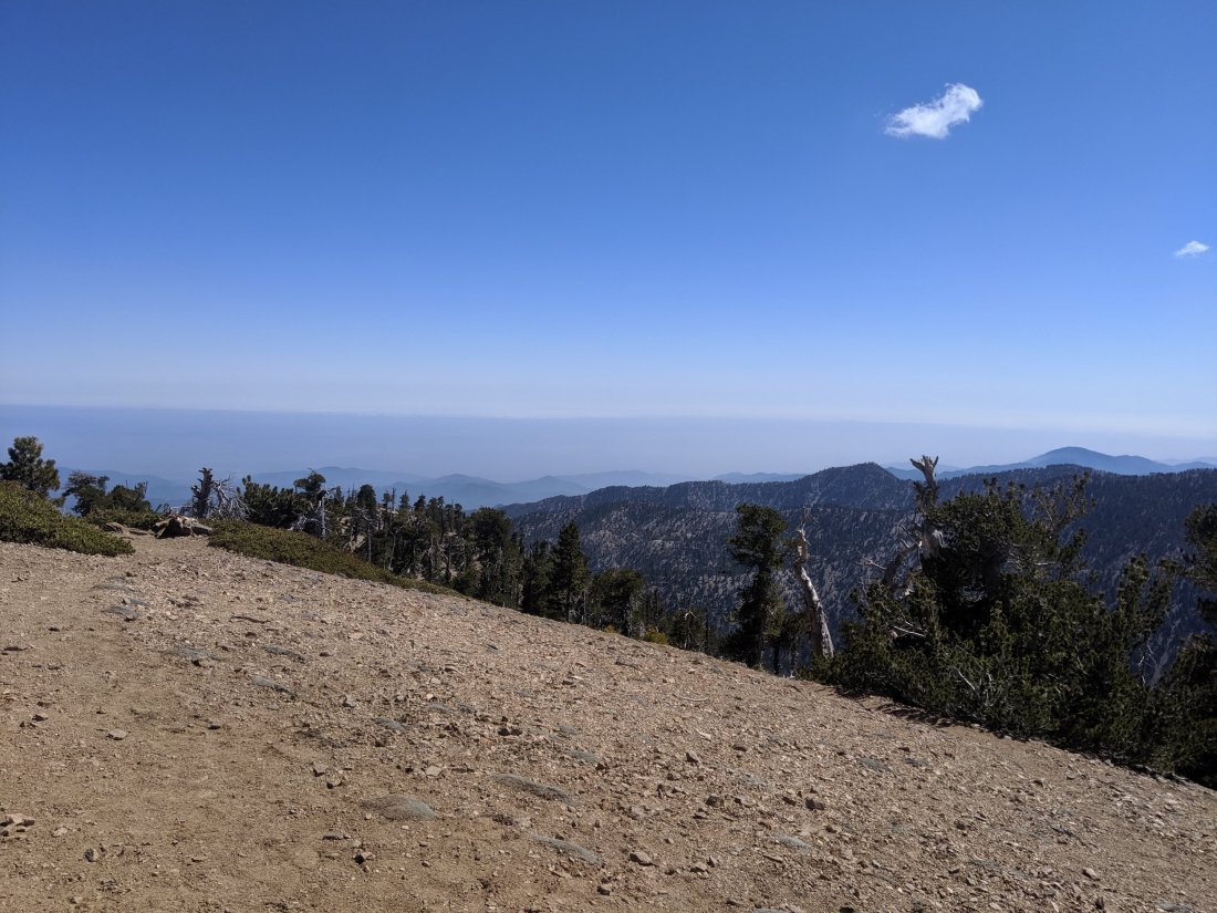
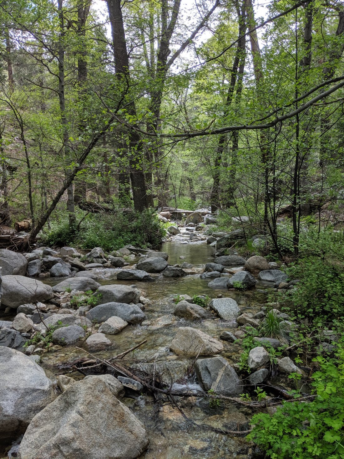
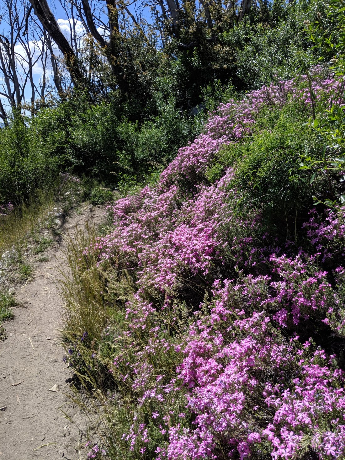
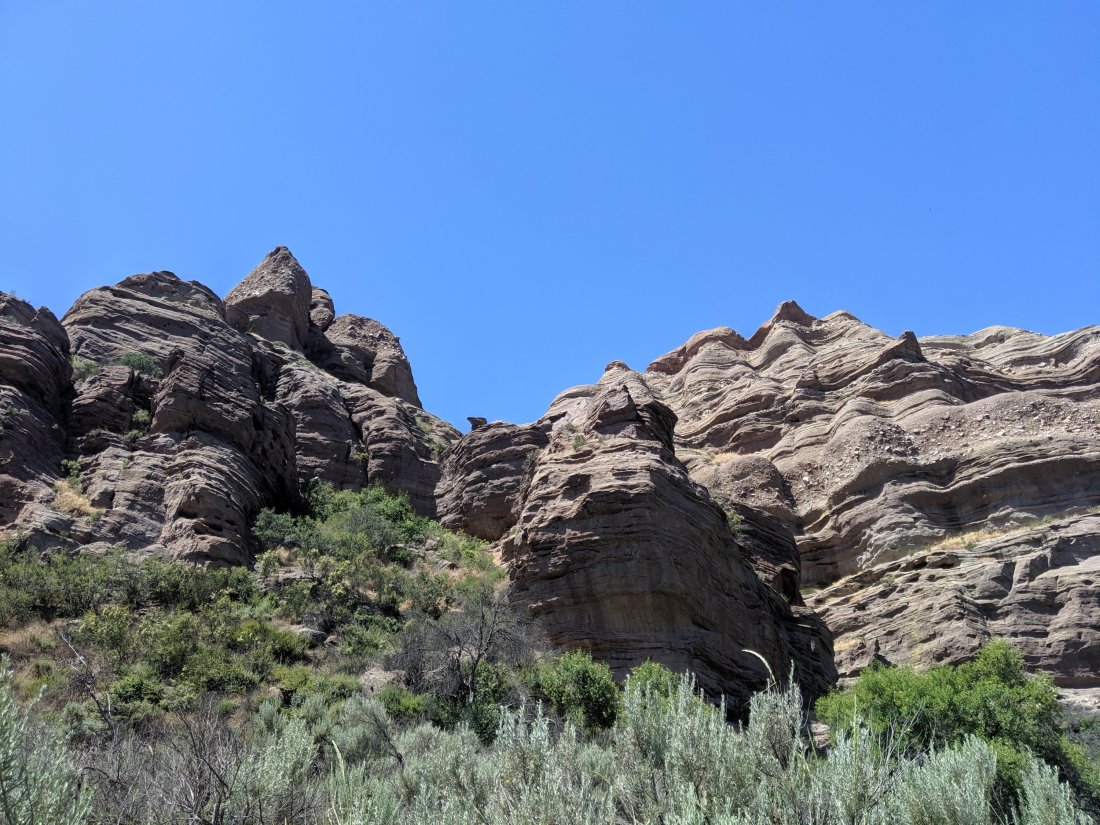
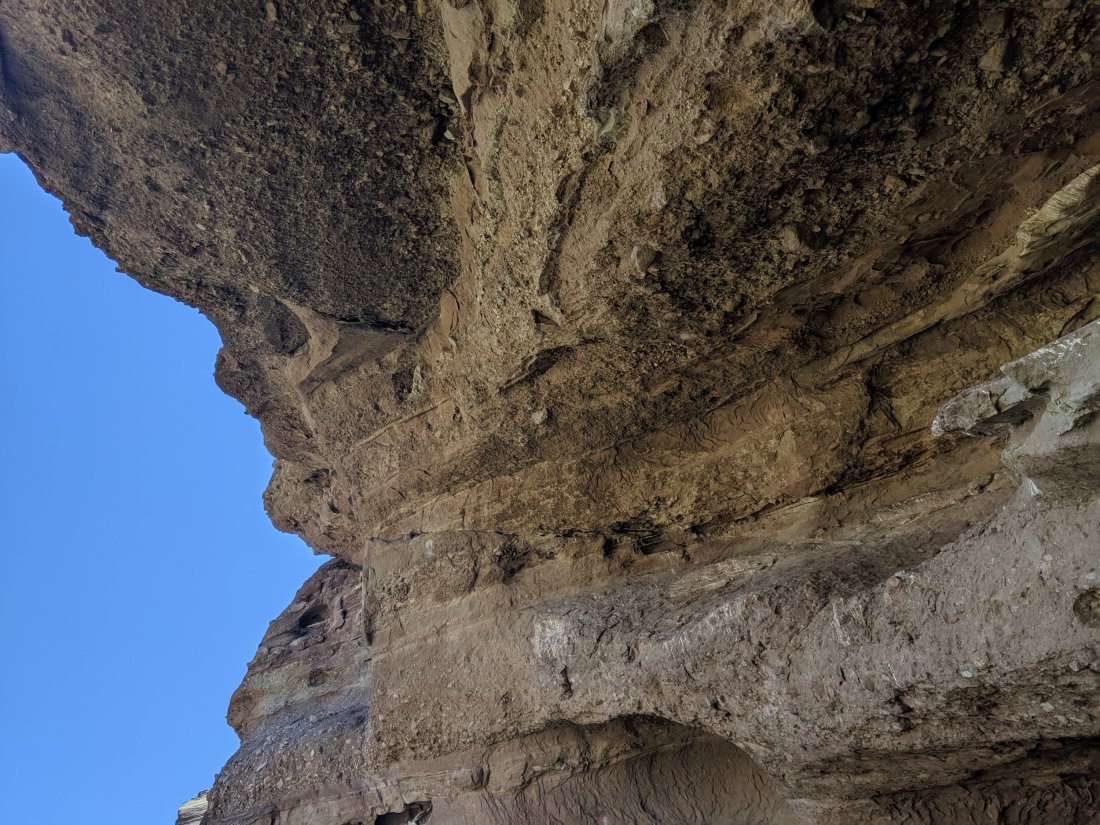
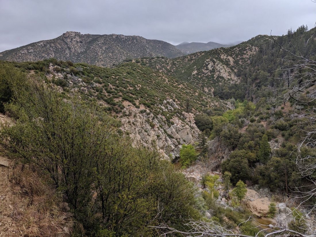
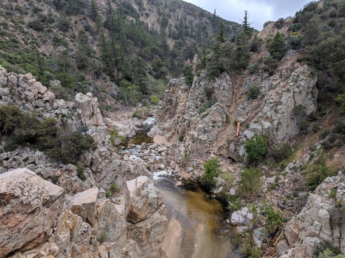
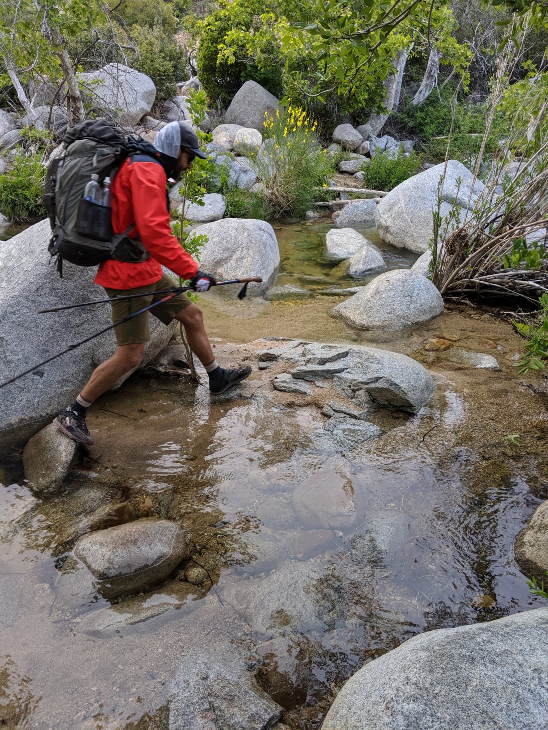
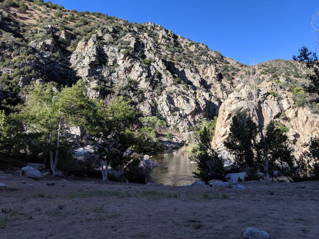
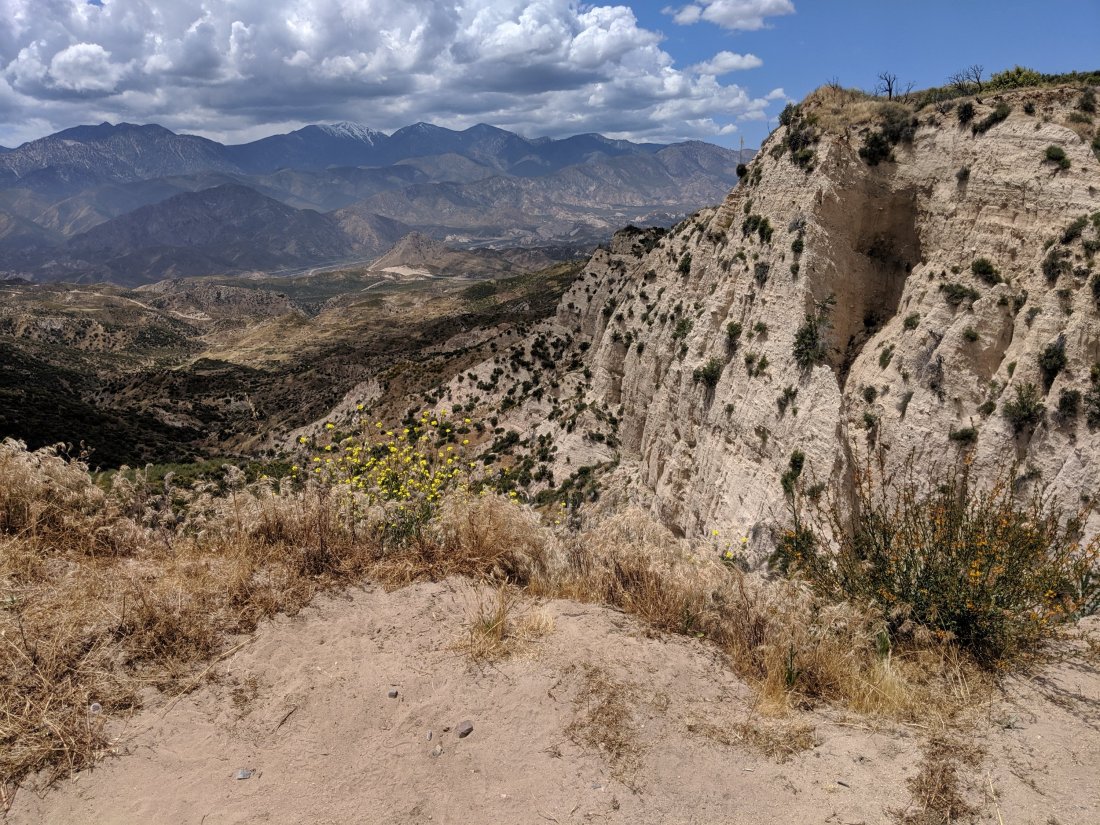
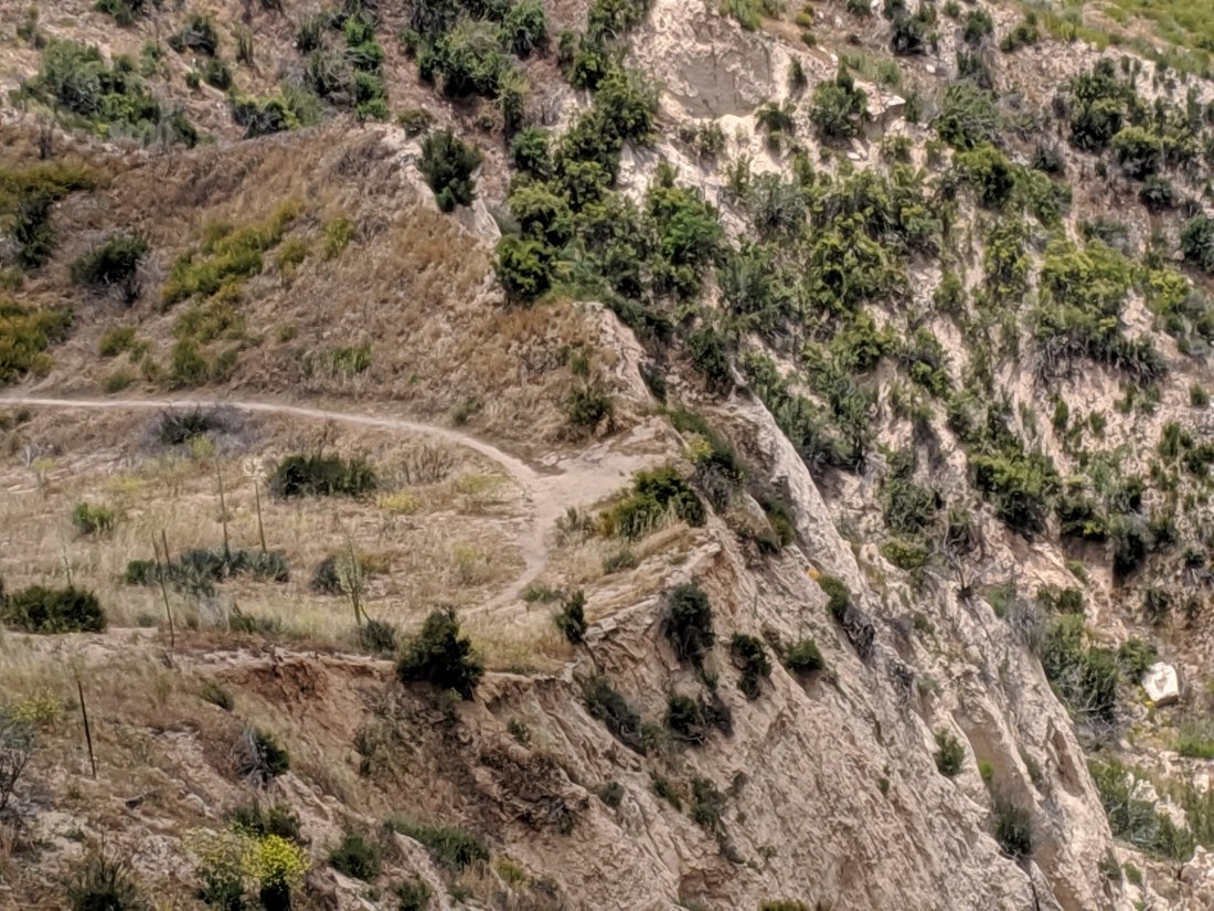
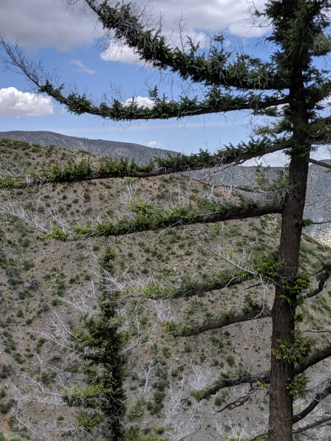
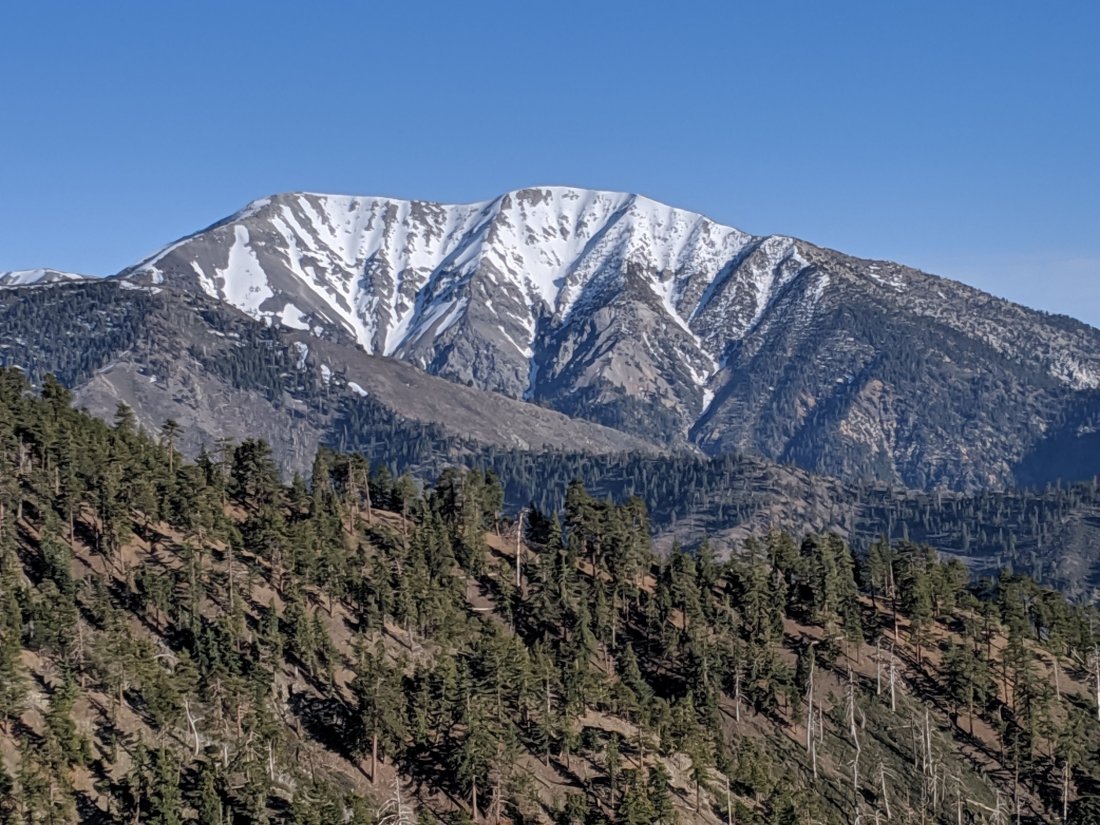
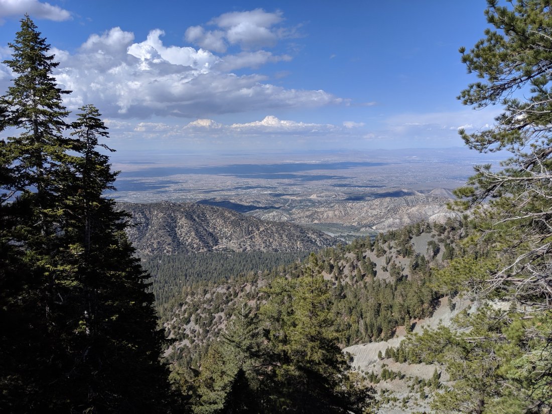
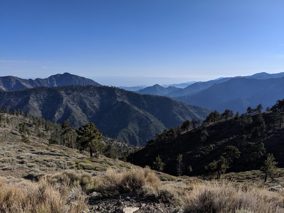
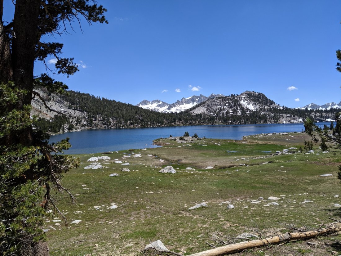
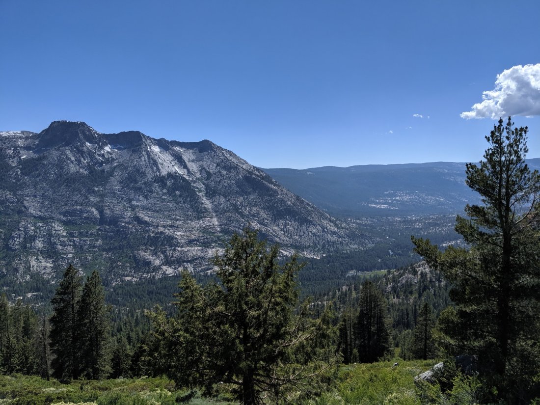
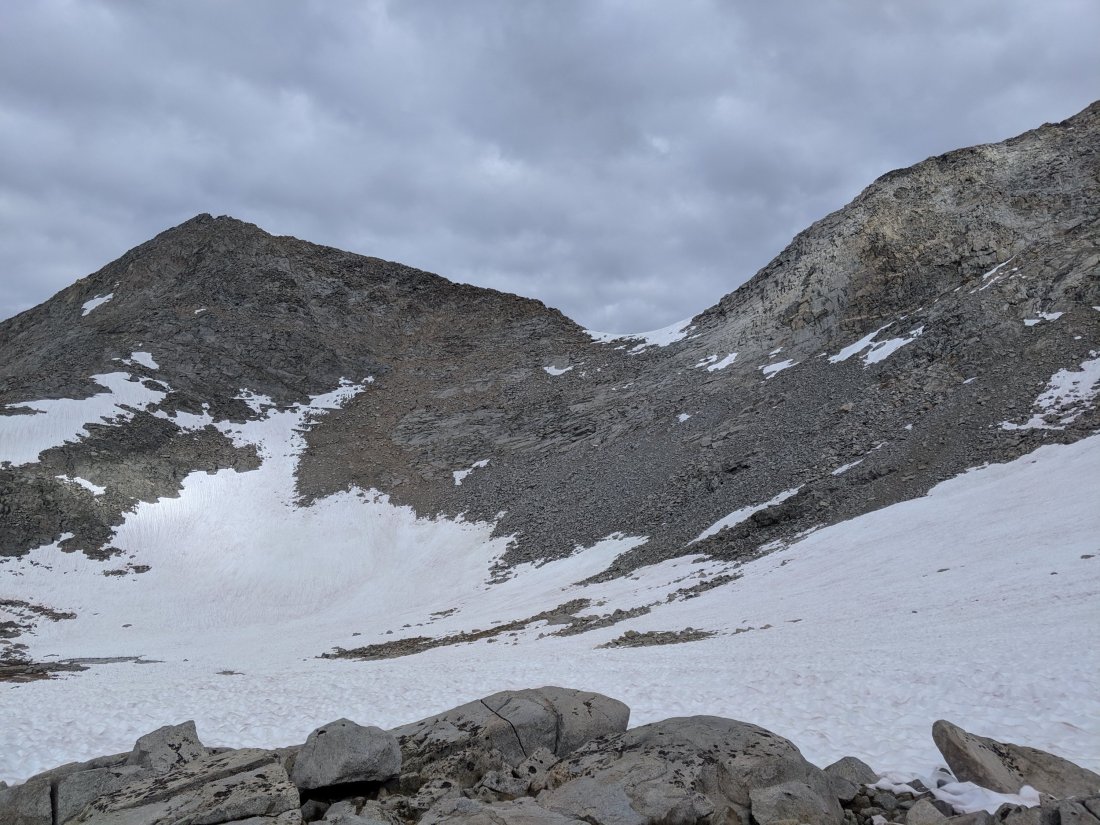
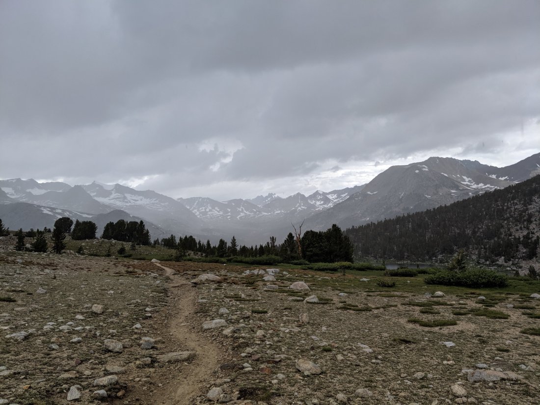
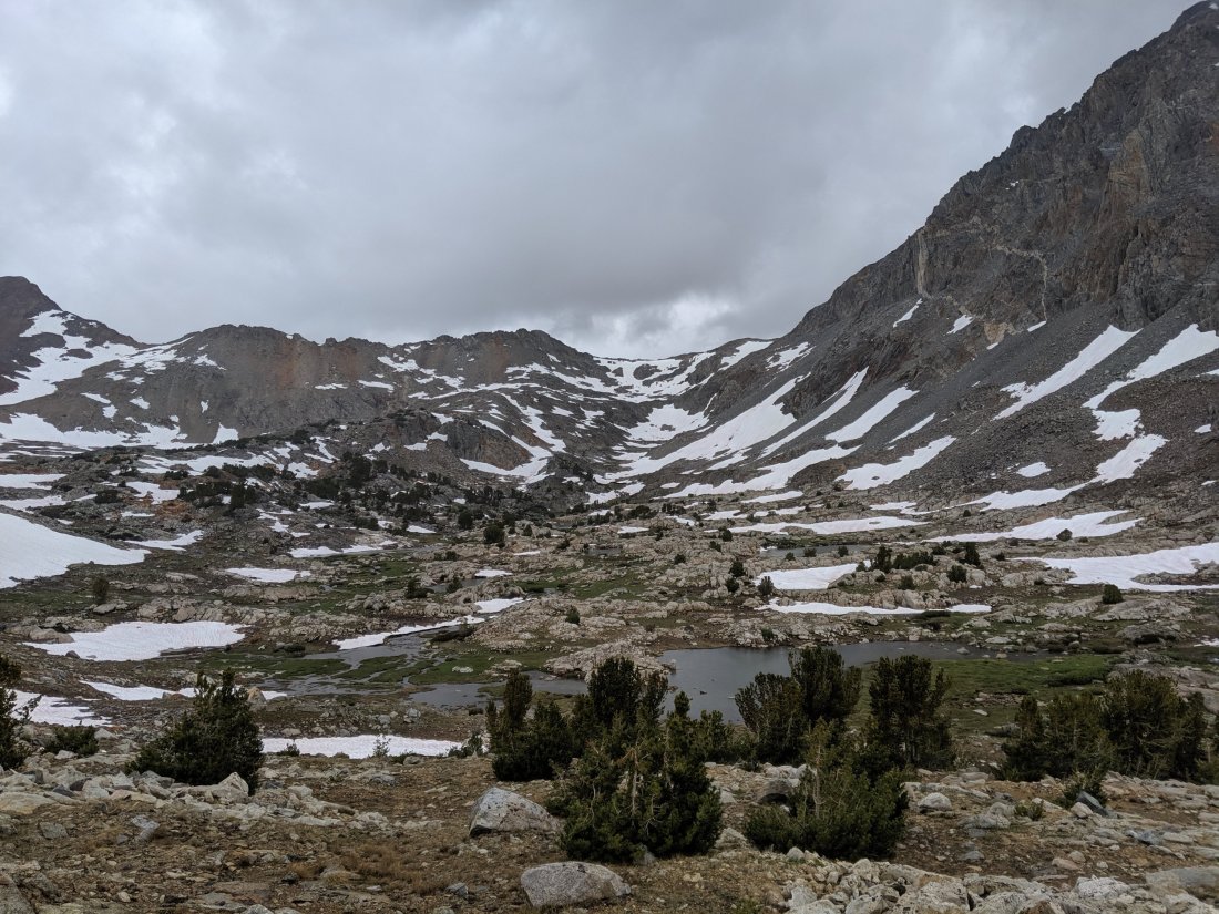
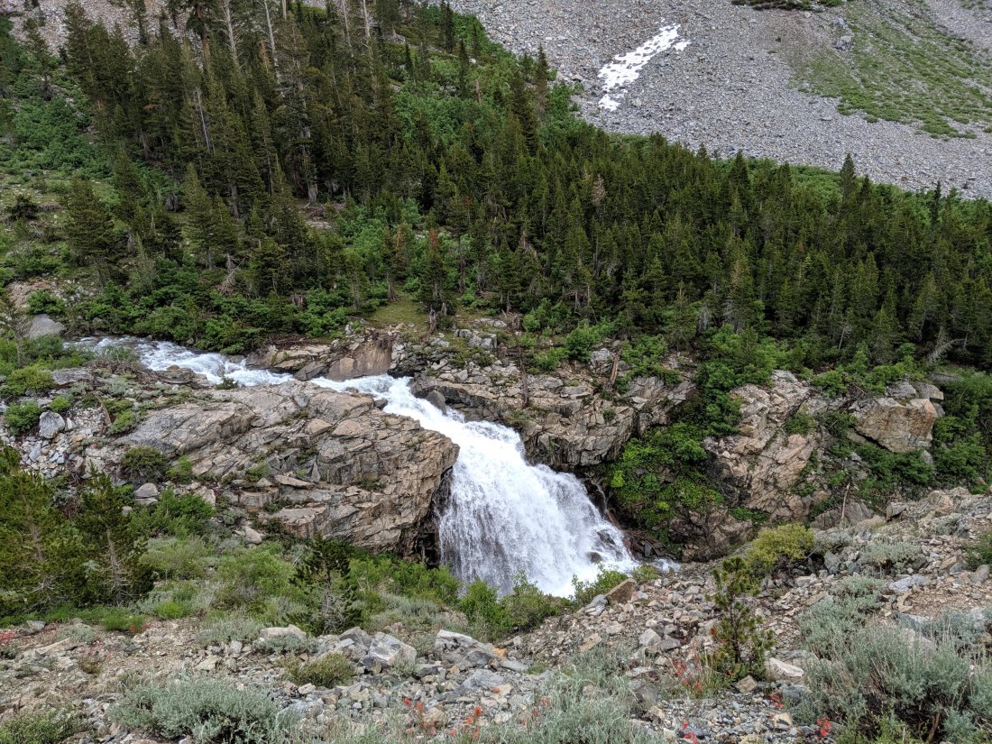
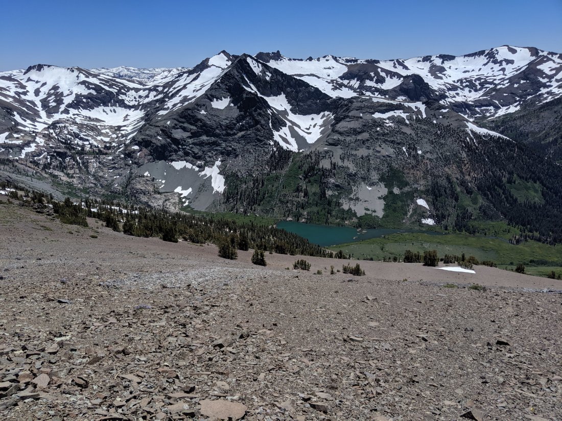
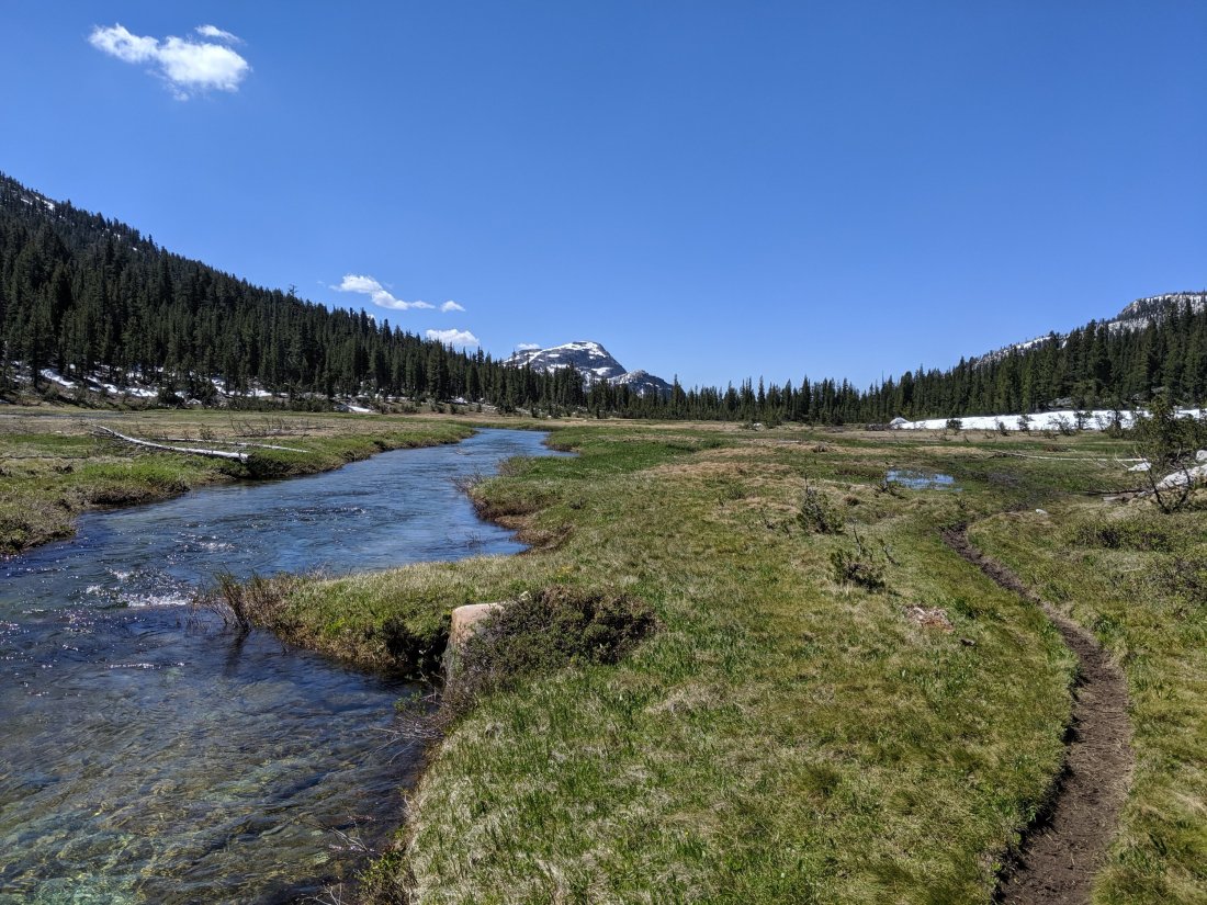
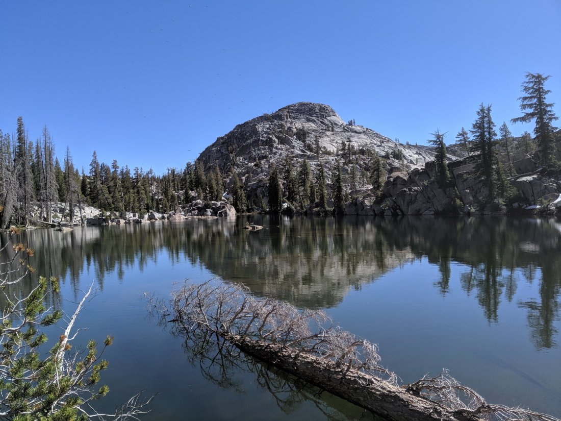
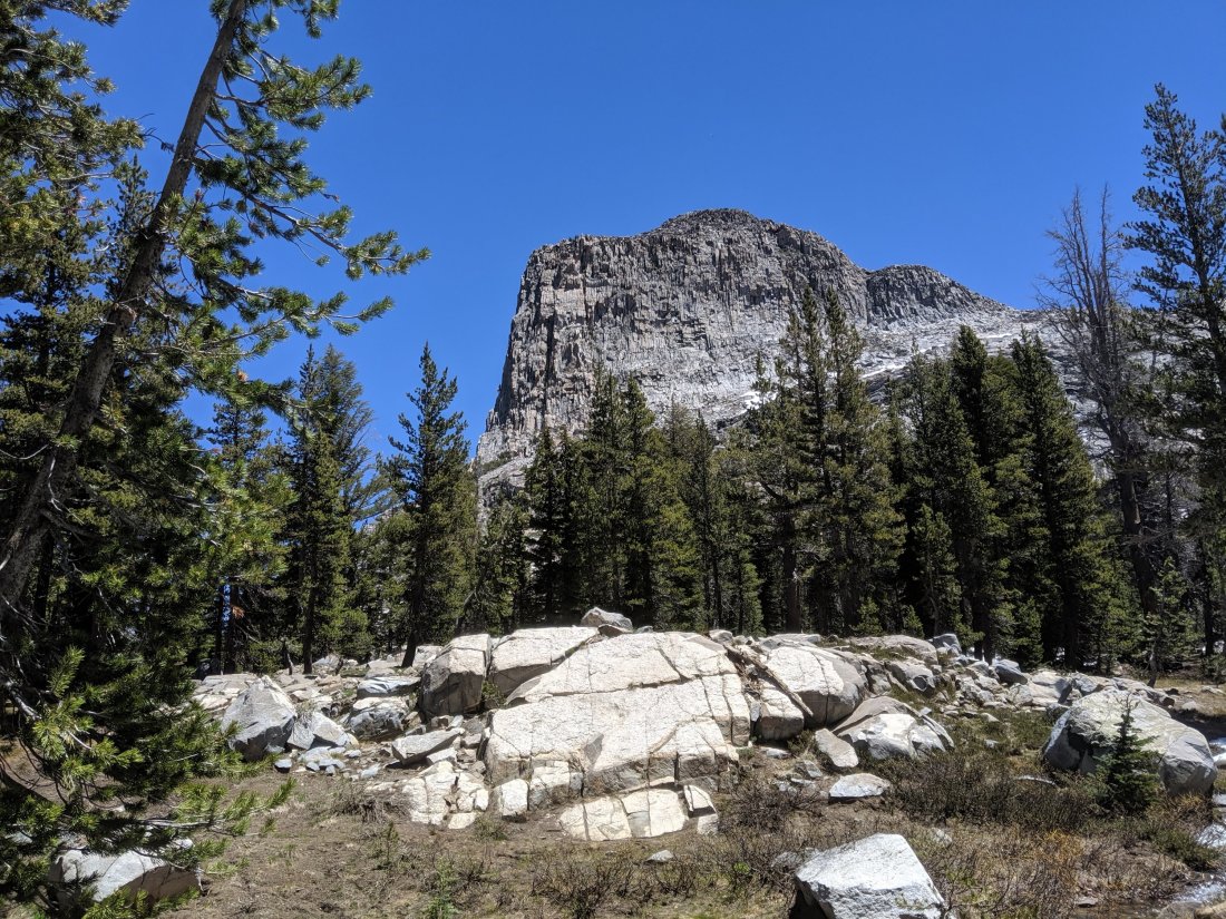
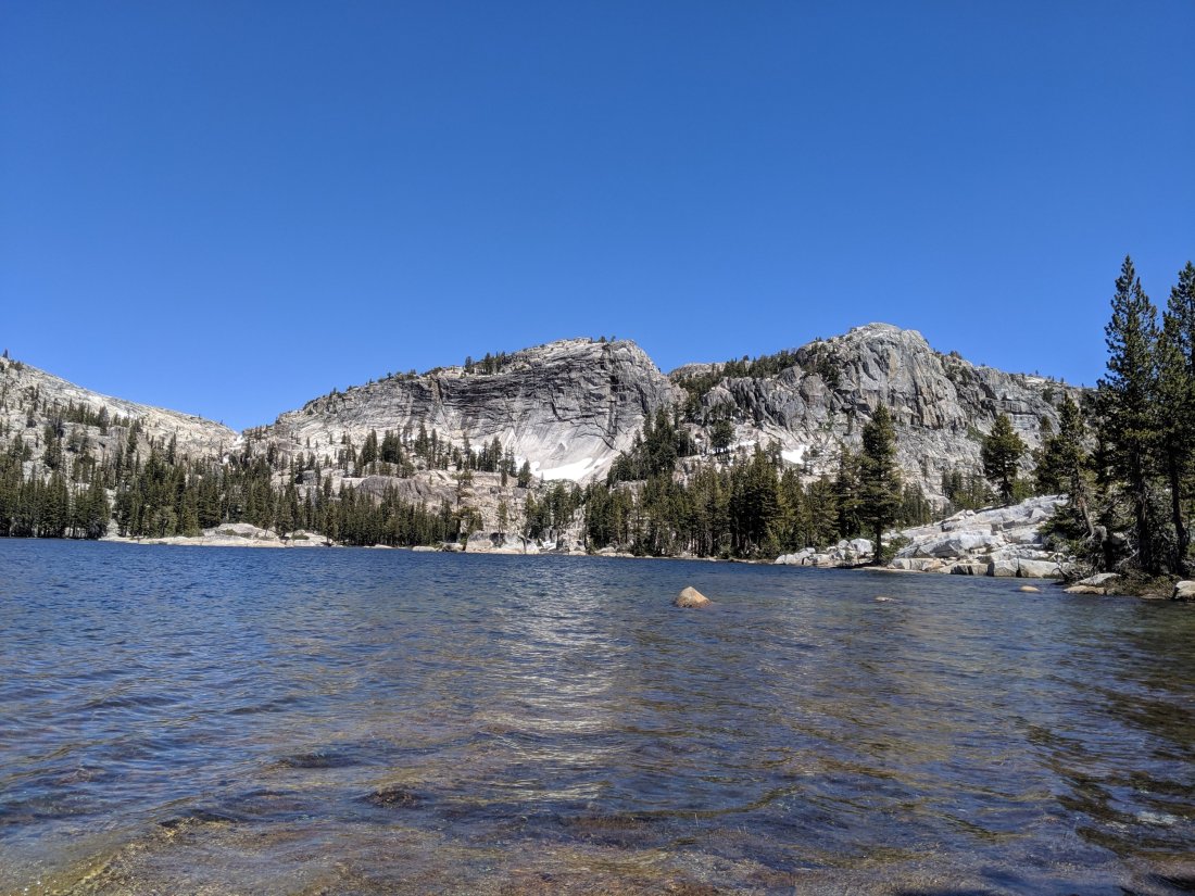
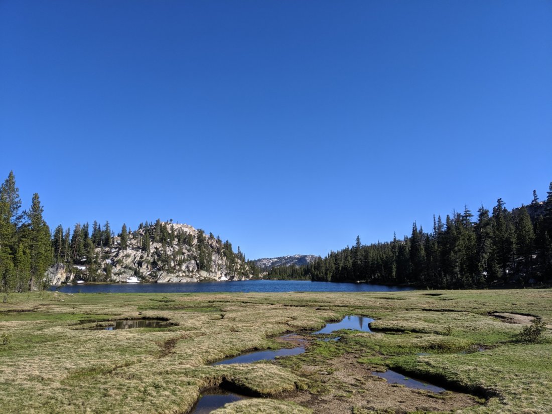
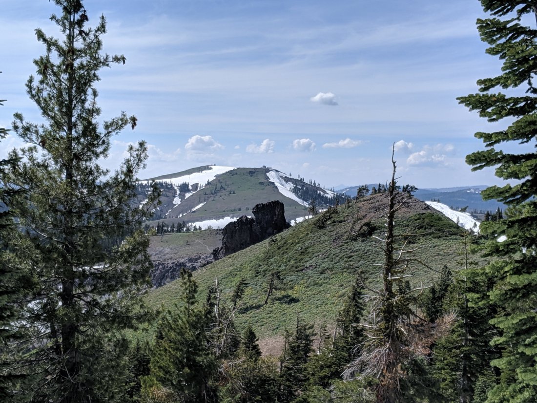
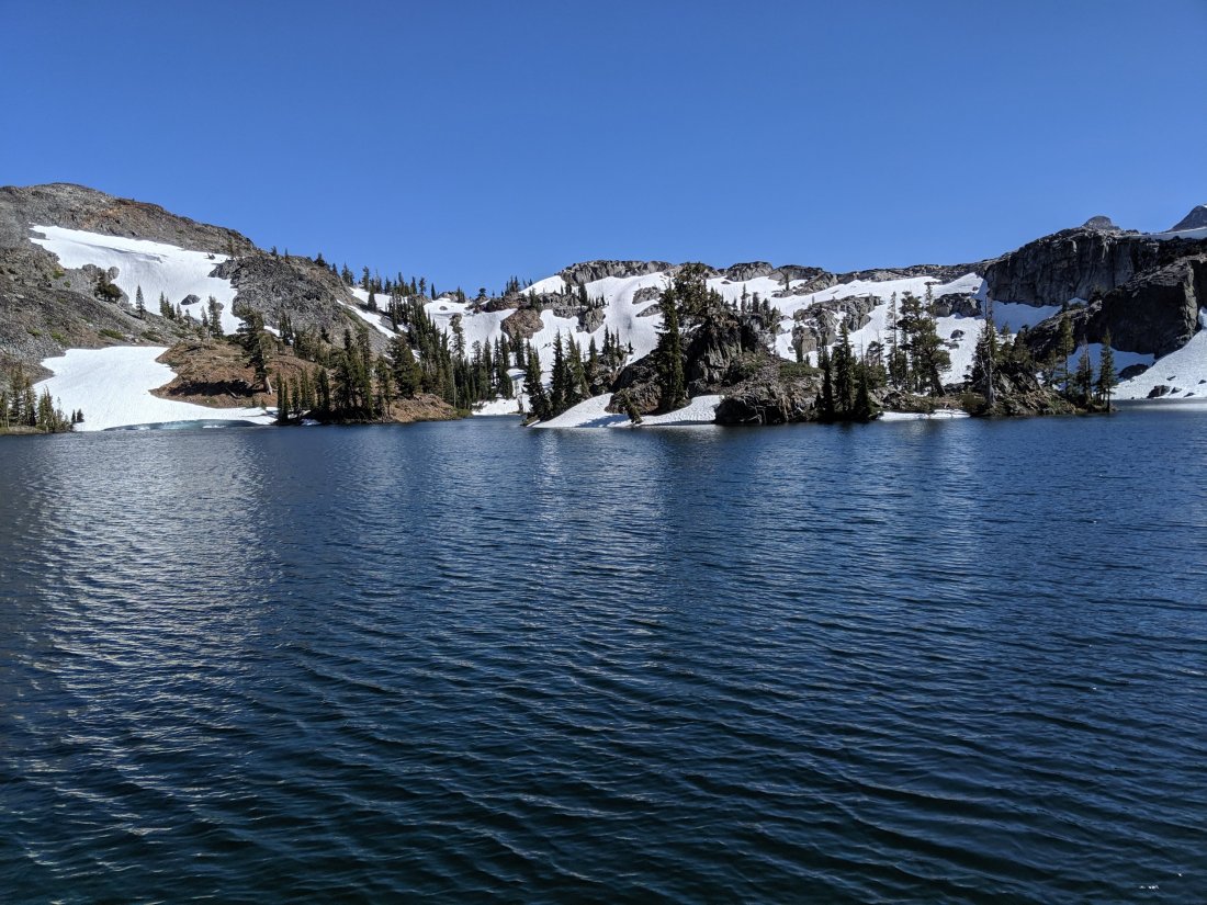
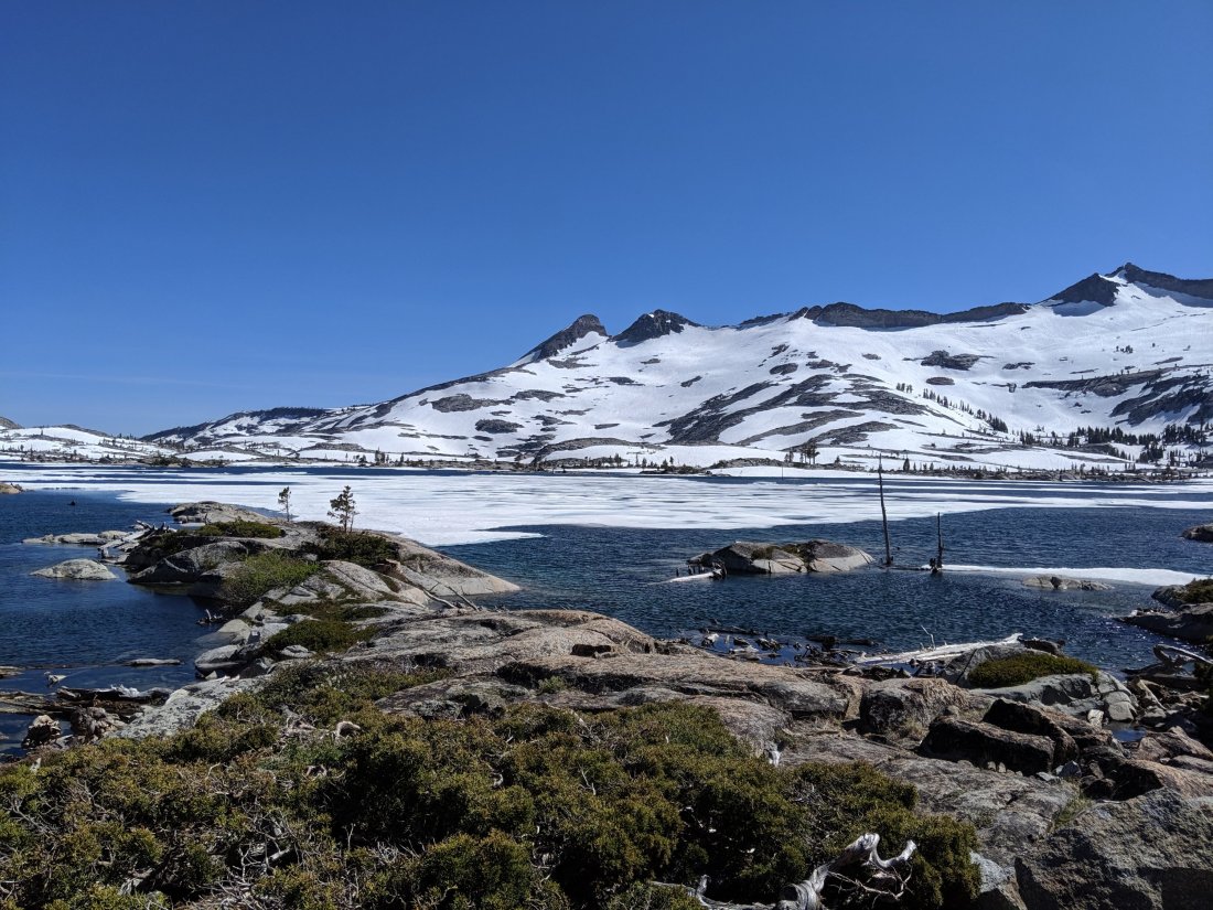
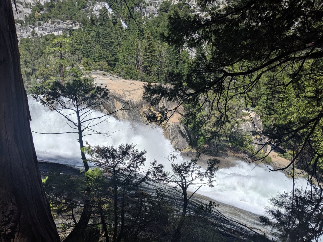
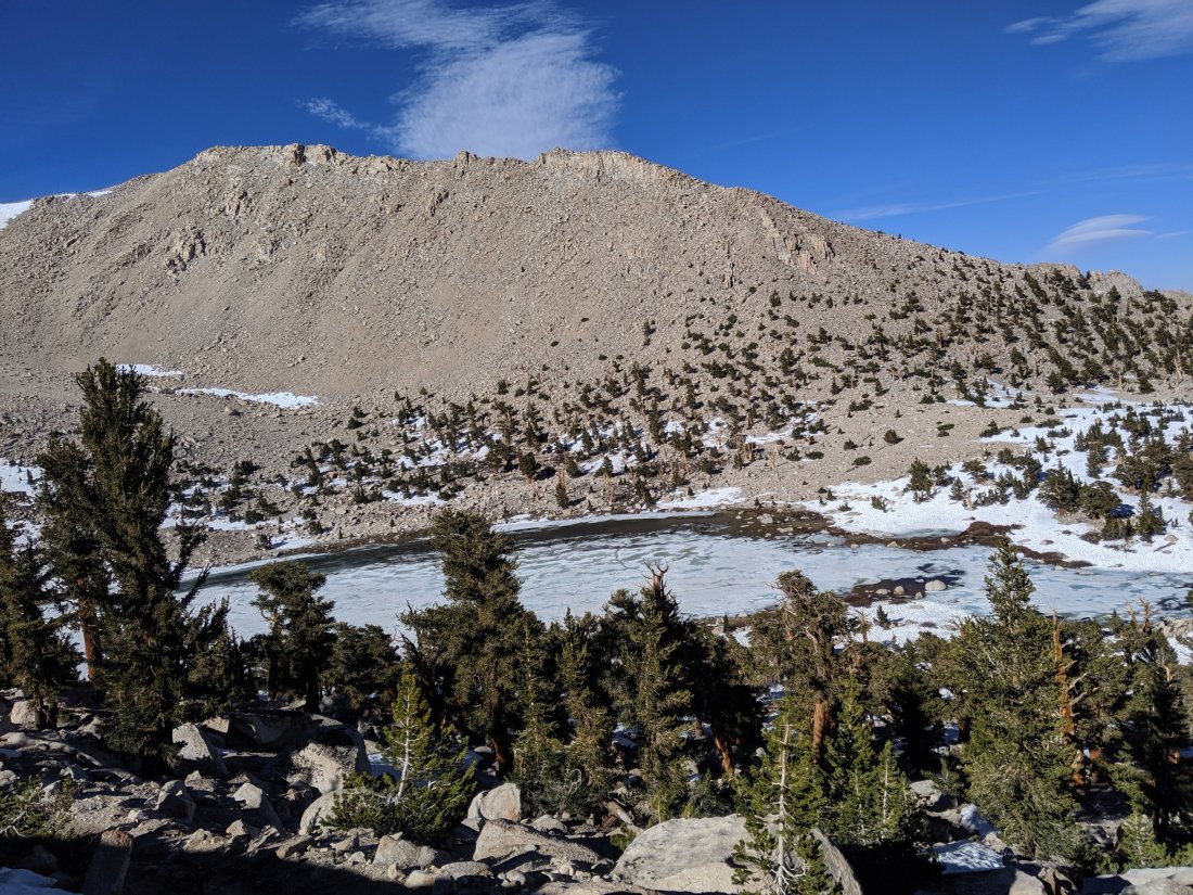
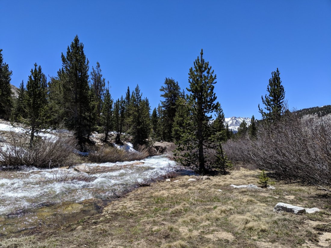
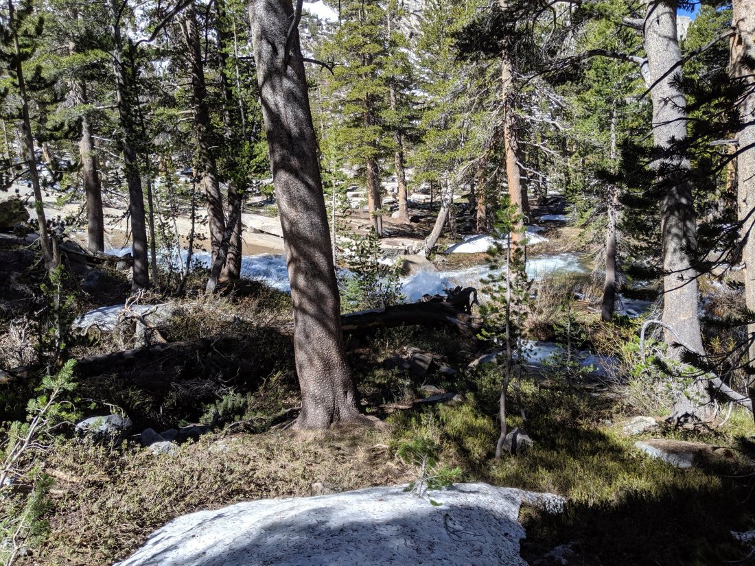
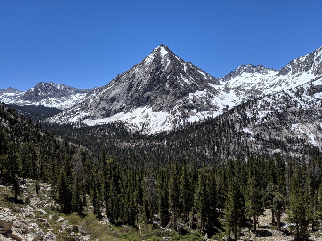
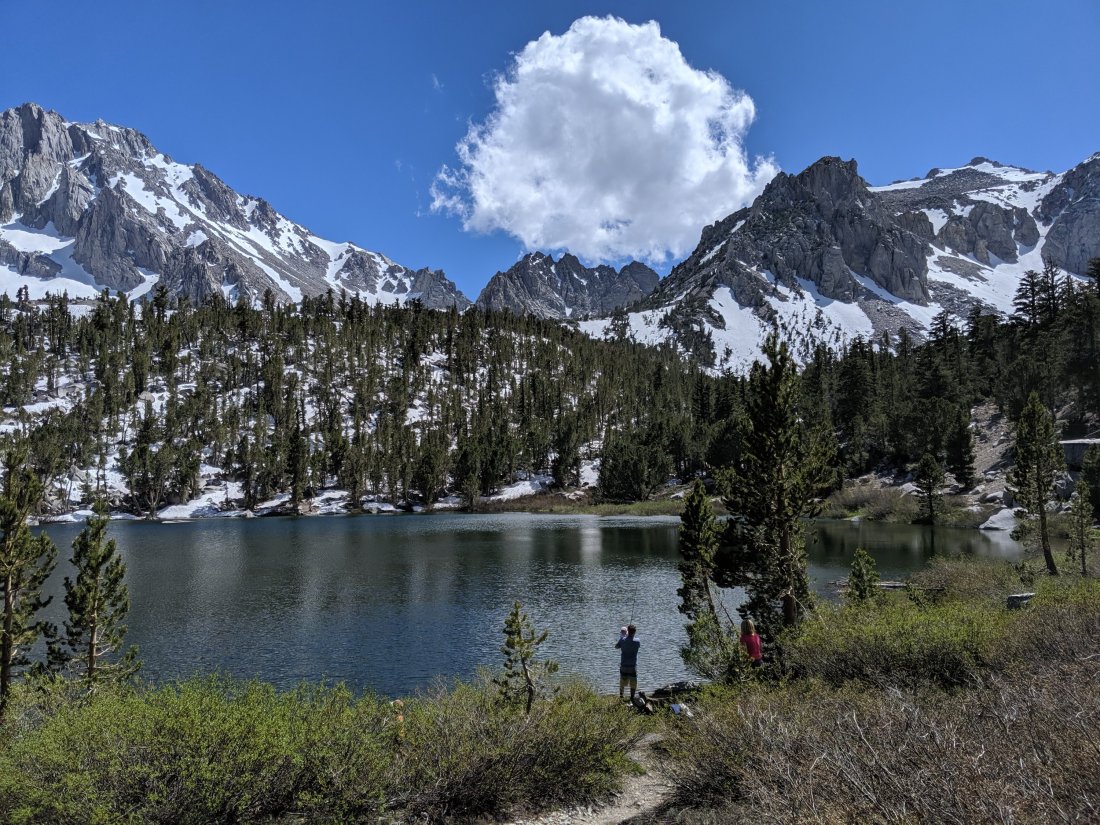
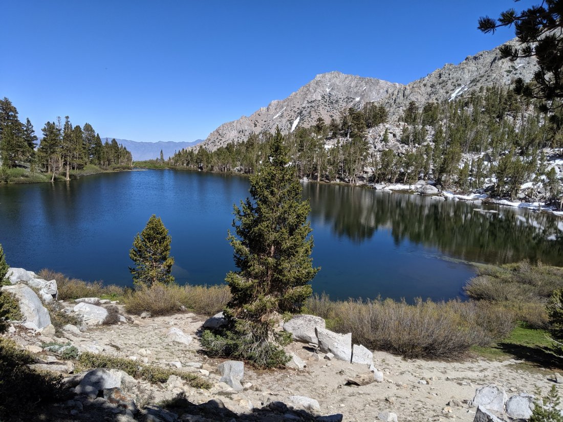
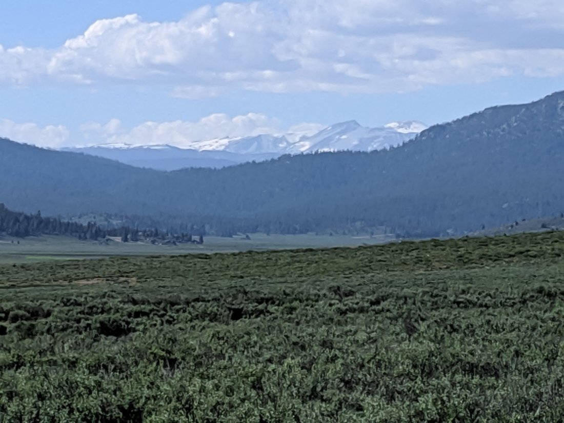
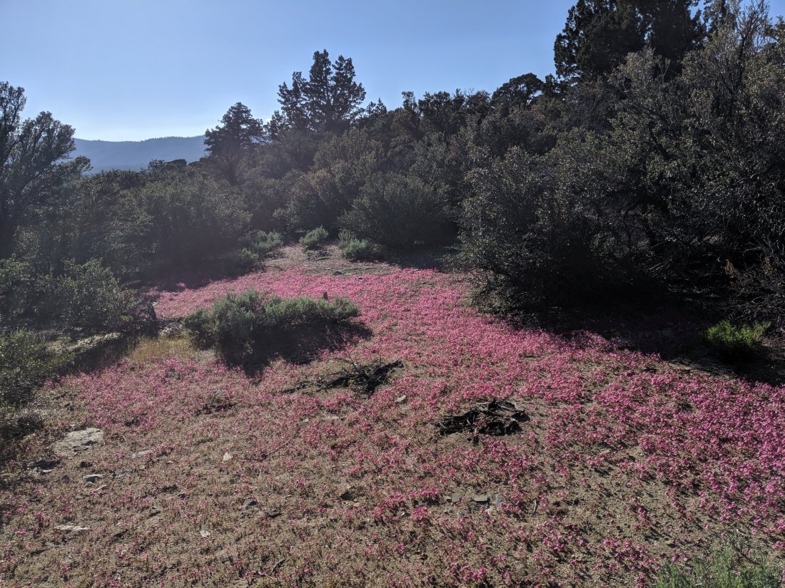
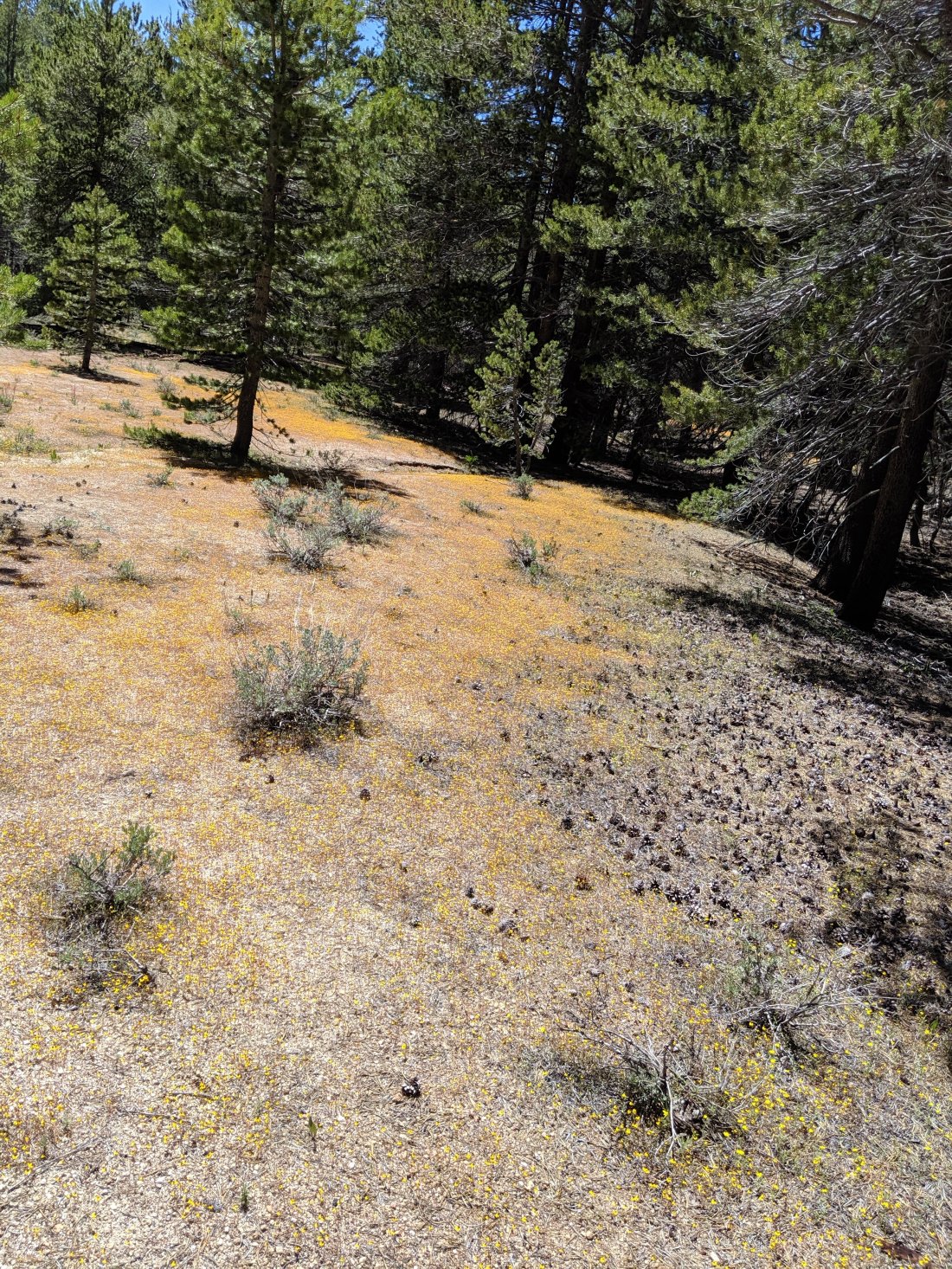
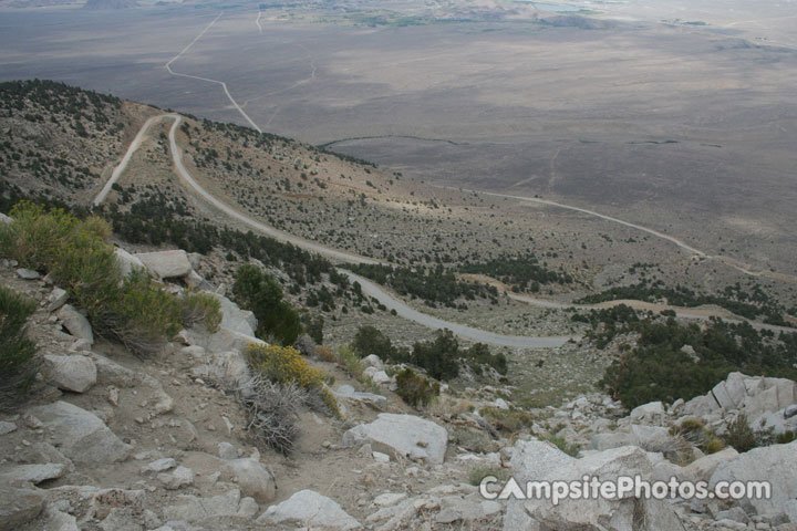
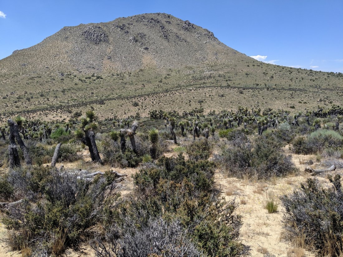
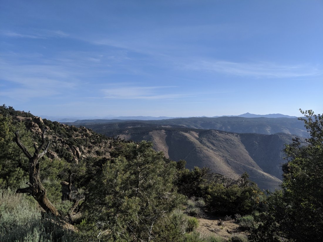
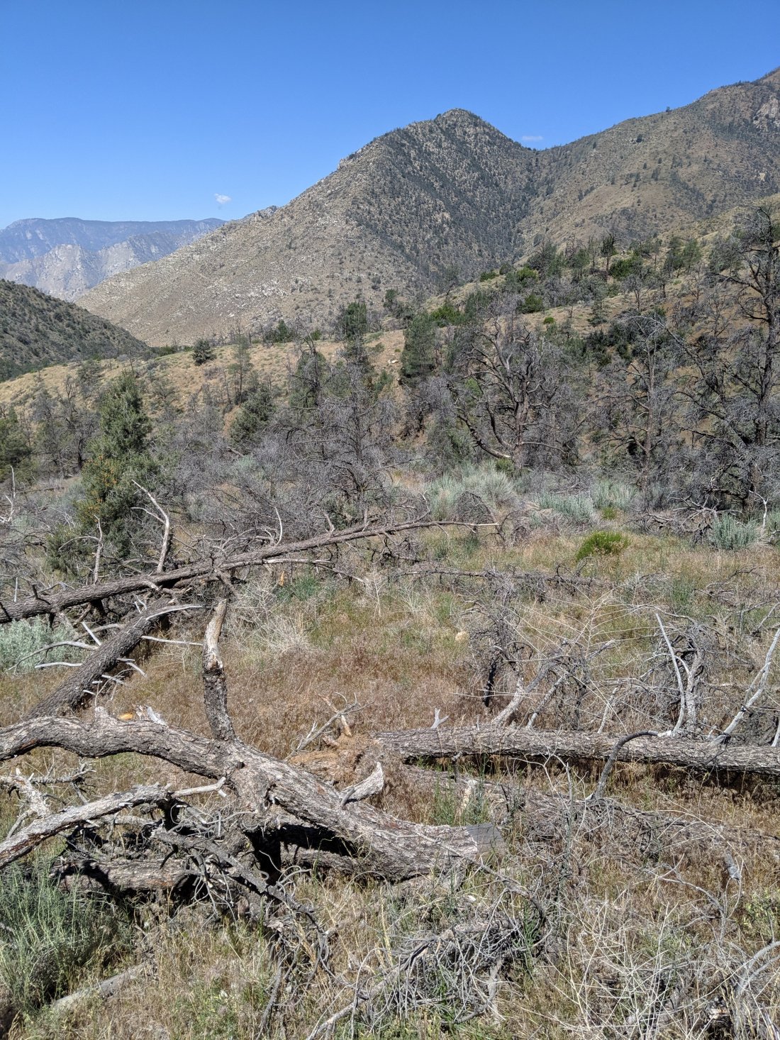
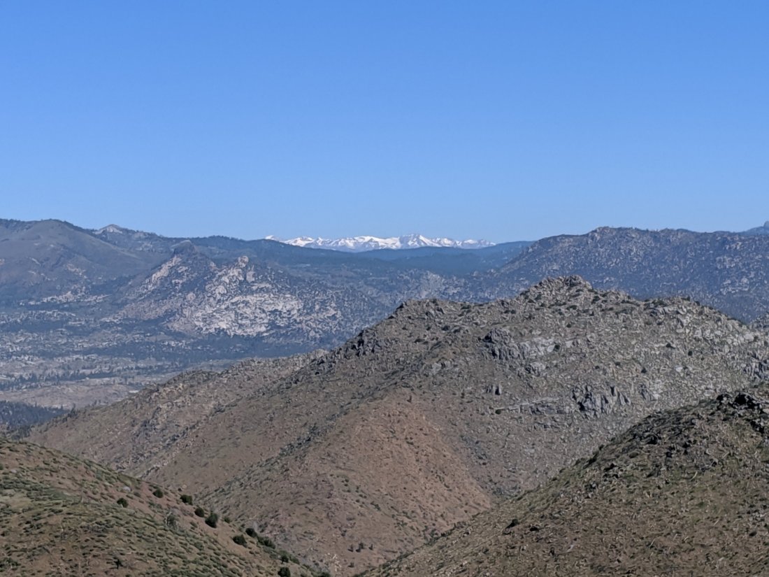
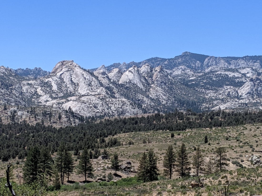
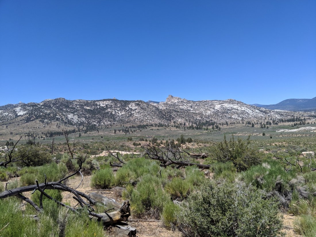
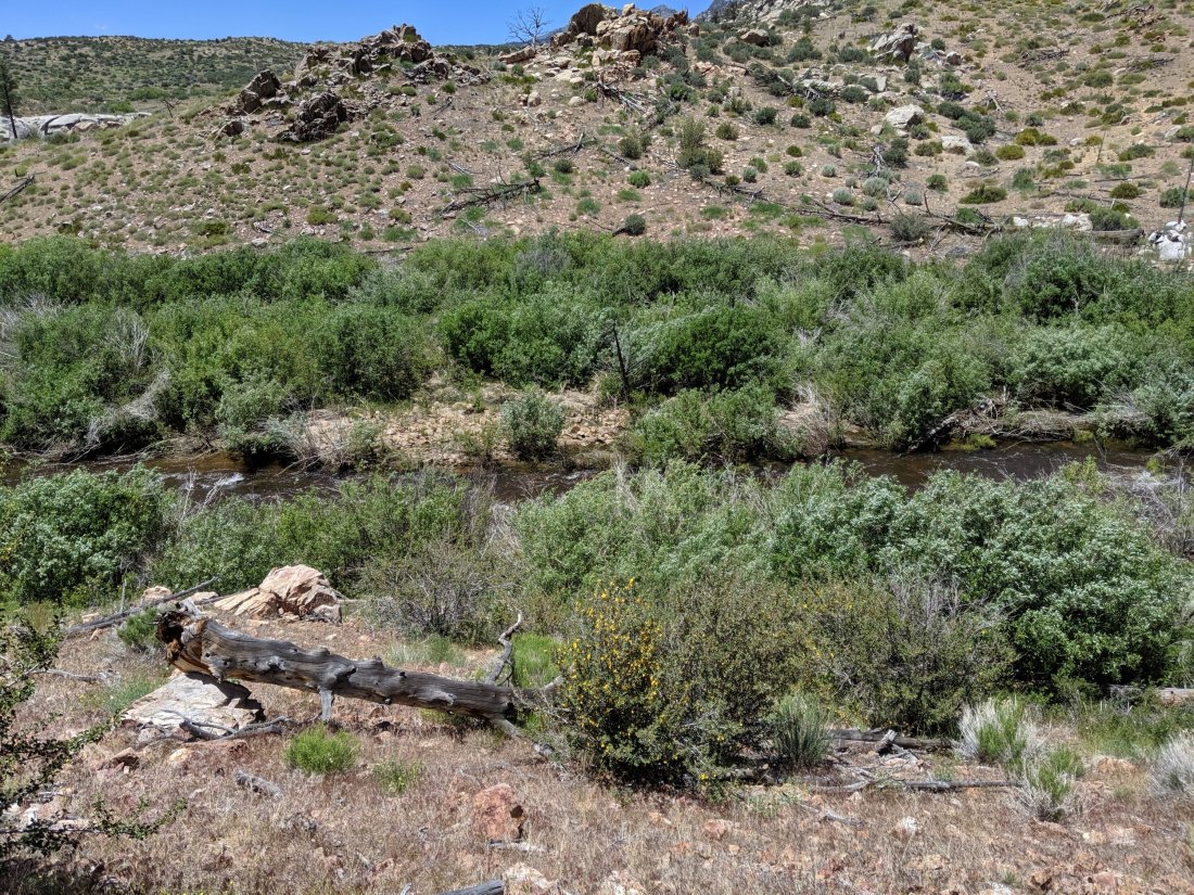
The scenery in this section was pretty canyony, as the trail followed various canyons of the San Joaquin River and its tributaries. Not as beautiful as the meadowlands to the north (e.g. Tuolomne Meadows) or the huge peaks and high passes to the south (read on…), but here are some pictures nonetheless.

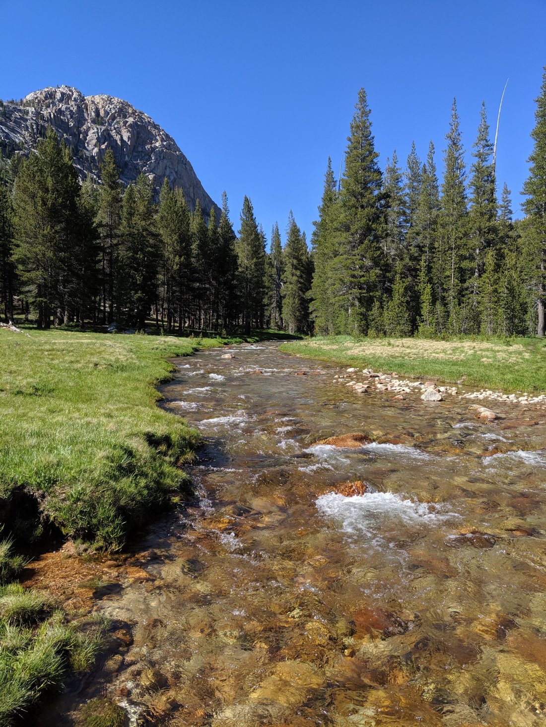
Up and Over Muir Pass
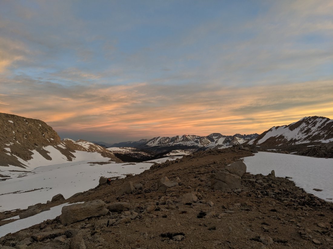
I started Day 75 feeling pretty optimistic. I basically needed to average 20 miles a day through this section, but I’d frontloaded the first two days, so I only needed to do 19 to get up Muir Pass, the first of the three more daunting “high” passes on my southbound journey (note that I’d done two high passes – Forester and Glen – before I bailed). 19 miles seemed pretty gentle, even though the entire day was uphill up the South Fork San Joaquin River and one of its tributaries, Evolution Creek. About 2.5 miles in, I discovered that I did not have my phone. With almost any other item, I would probably have decided that it was replaceable, and continued onward. Instead, I dropped my bag and “slack-packed” 2.5 miles back downhill to camp. Sure enough, it was there, so I returned another 2.5 miles to my pack and continued on. I’m glad I got it back, but a surprise five-mile detour is not a good way to start a pass day. On the plus side, I’m apparently so unrelient on technology that I can go an hour without noticing I don’t have a phone.
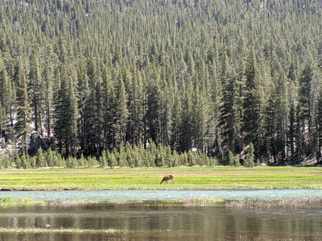
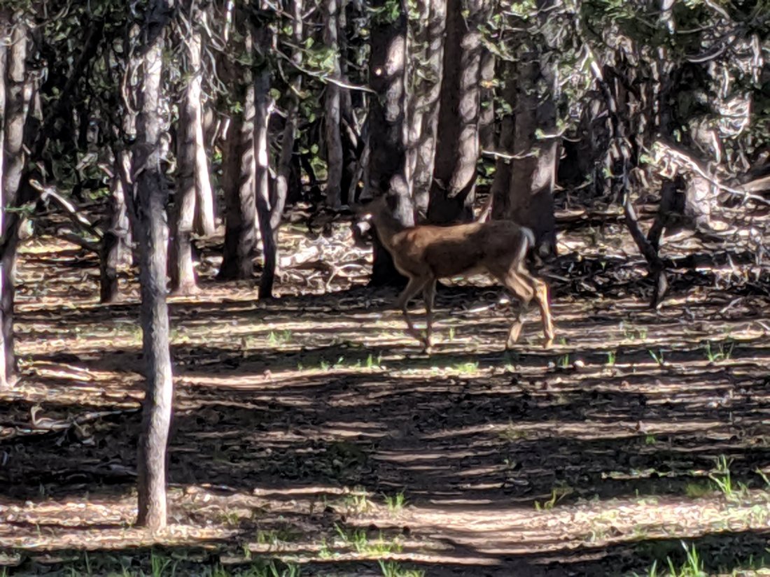
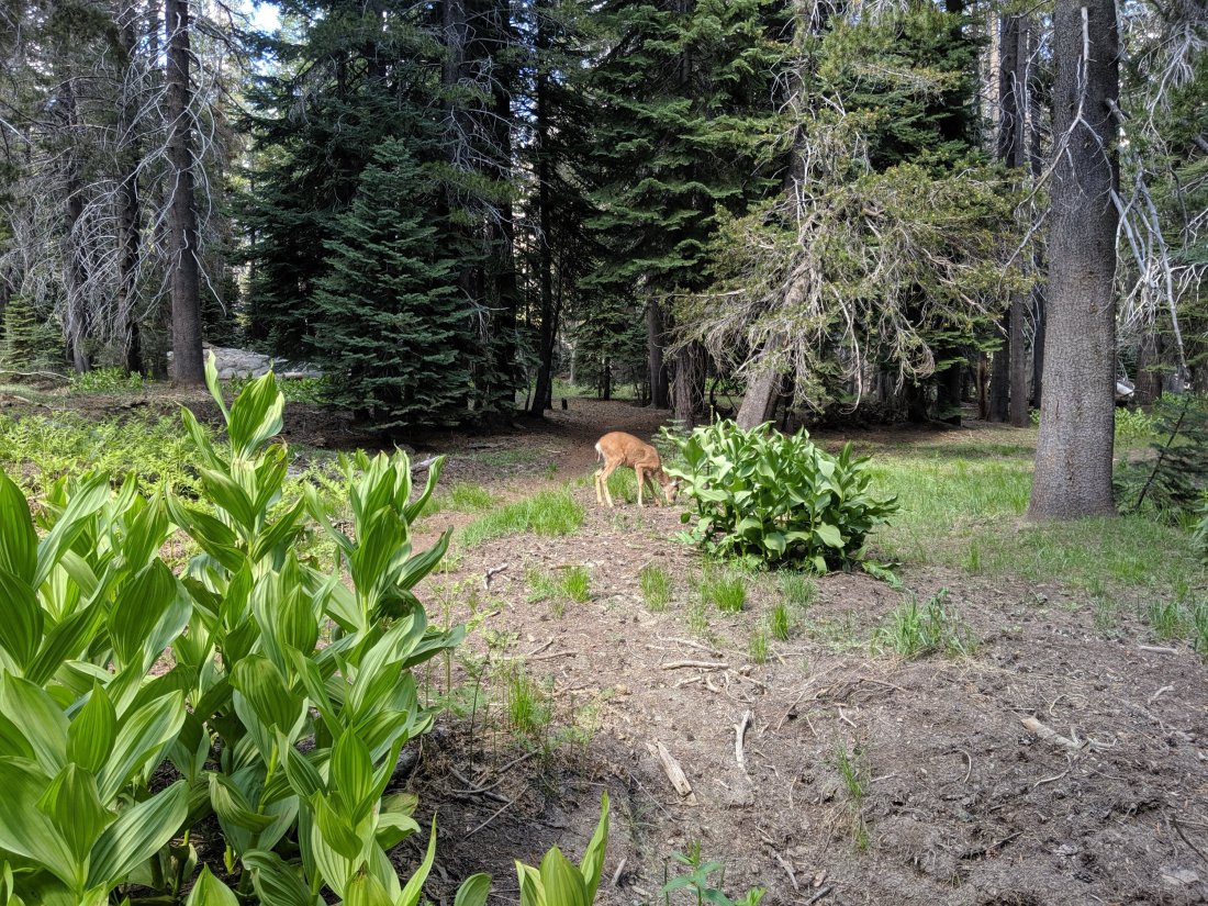
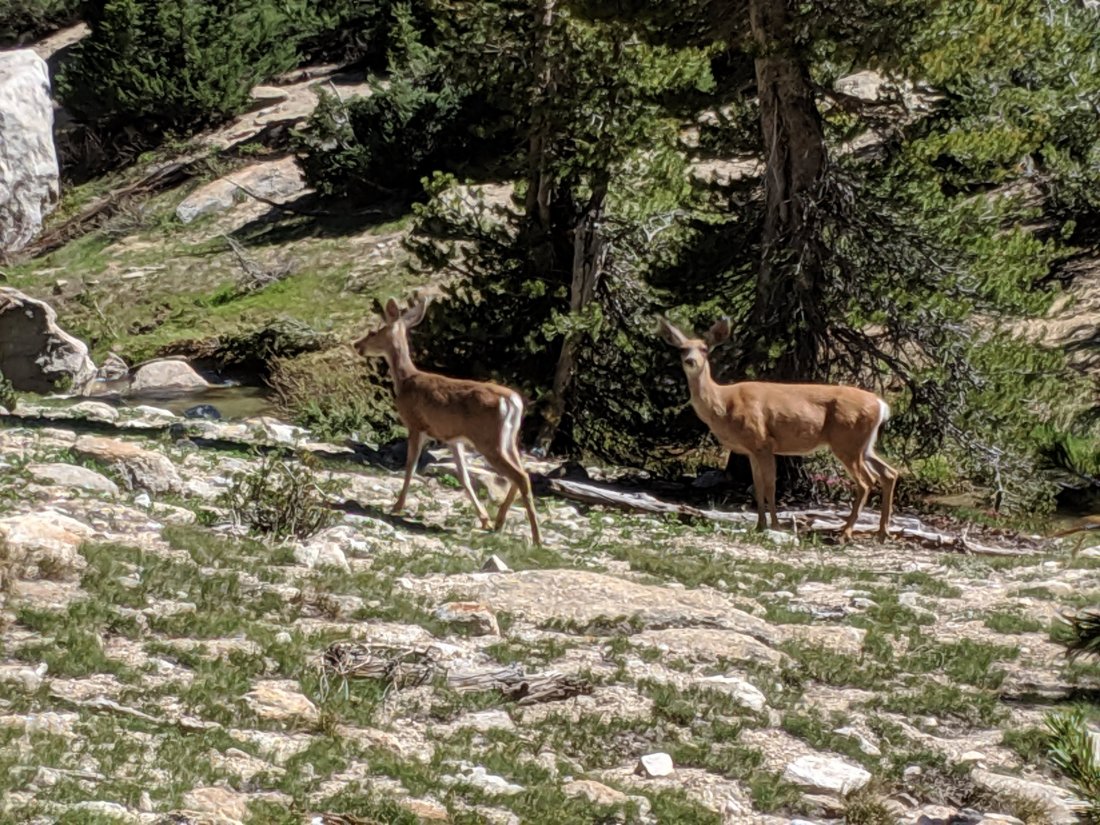
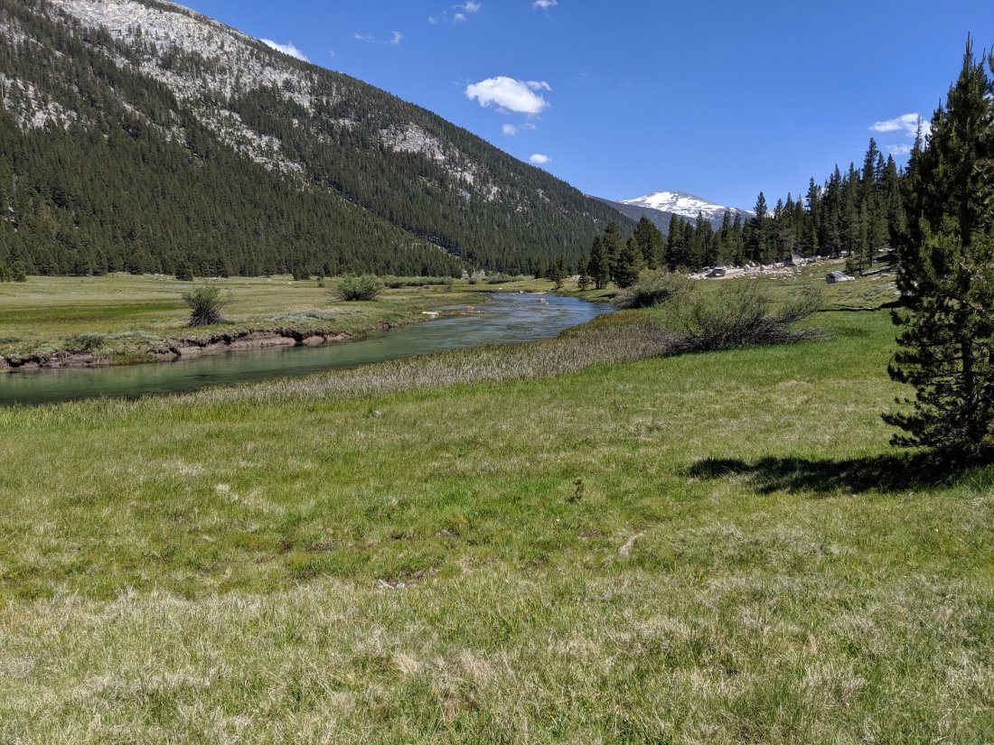
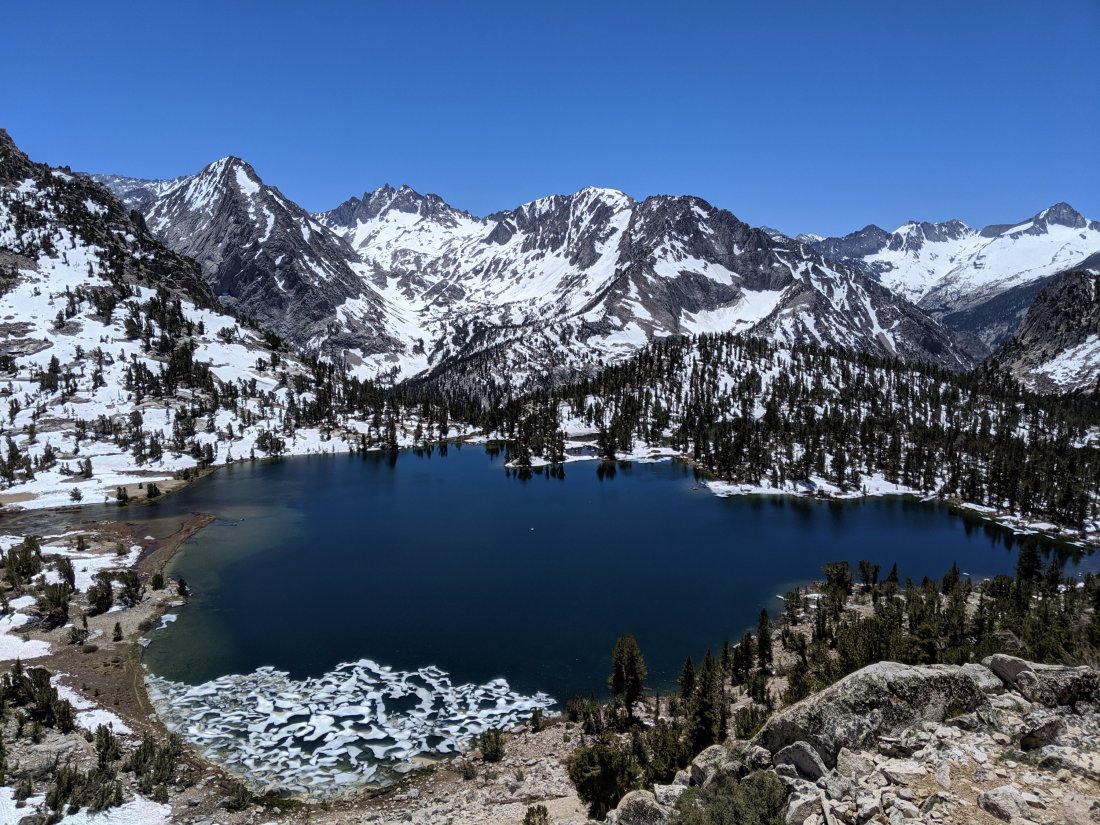
I allowed myself the option of camping short of the pass rather than in the hut on top of it, if necessary. The hike up was lovely, and Evolution Valley was idyllic, with this deer grazing in the meadow next to the gently flowing river.
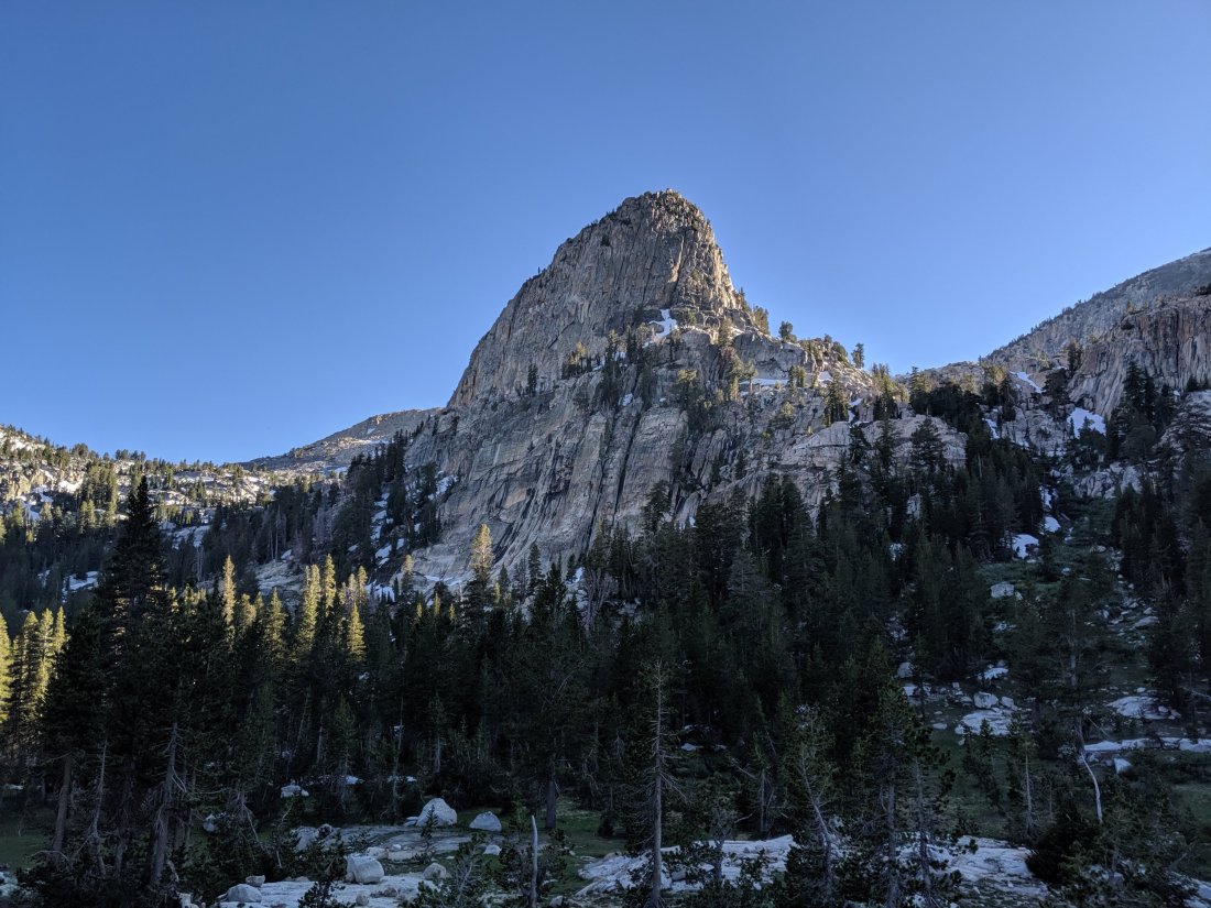
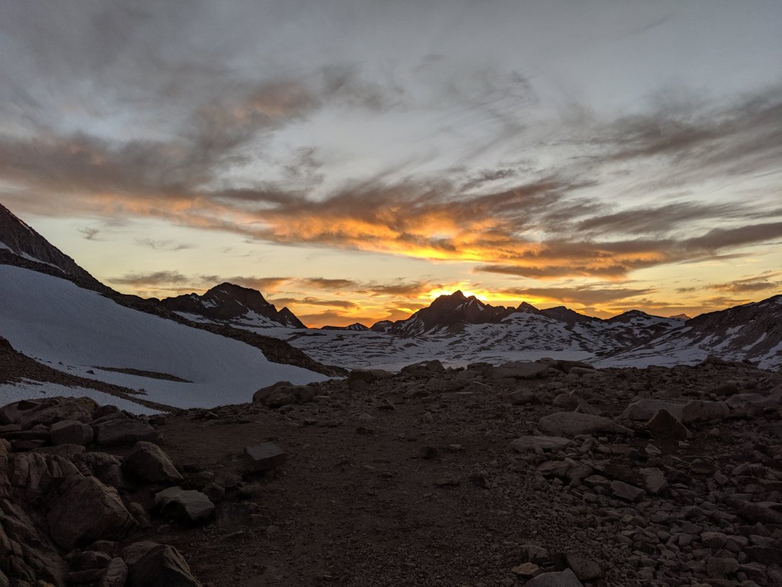
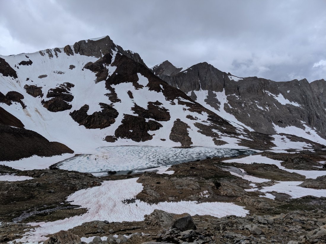
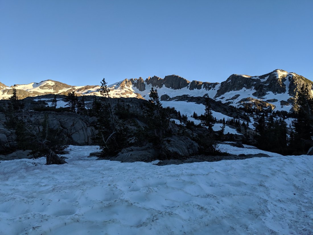
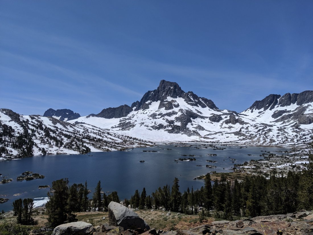
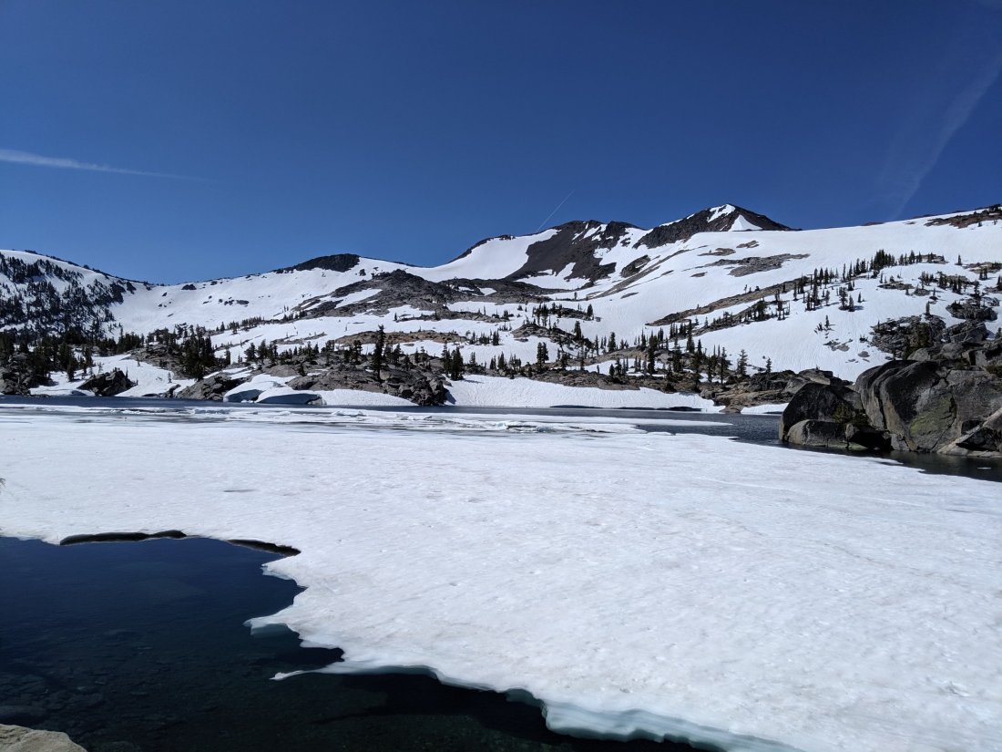
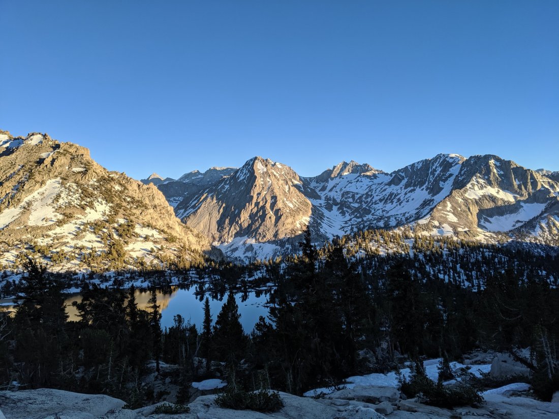
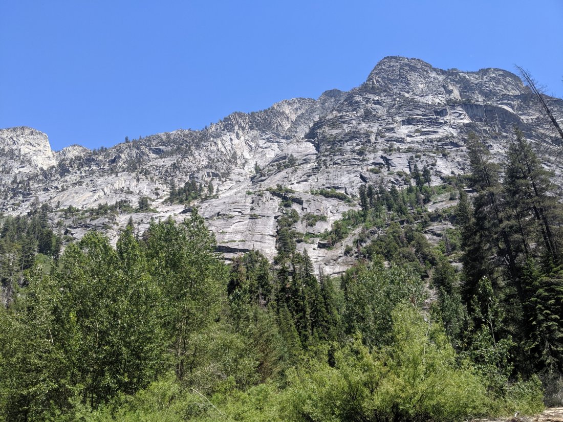
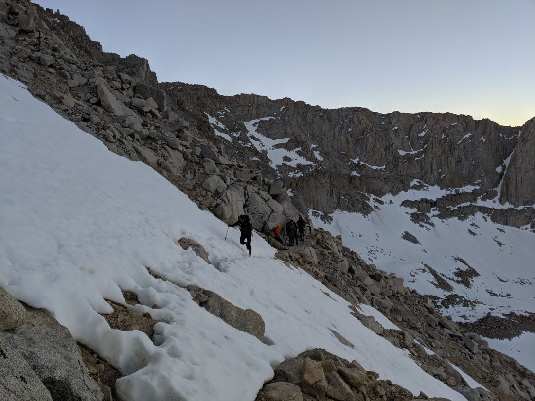
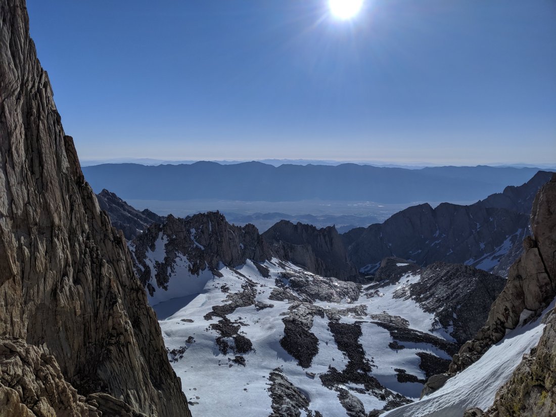
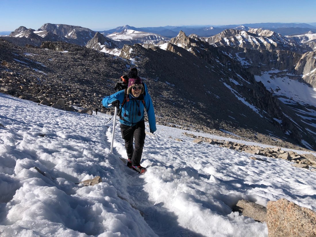
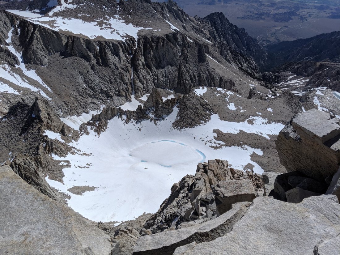
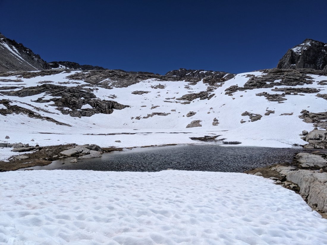
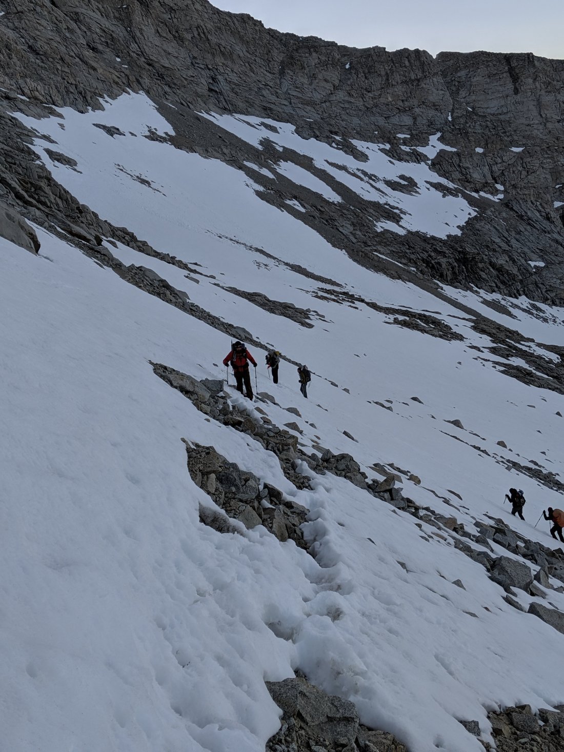
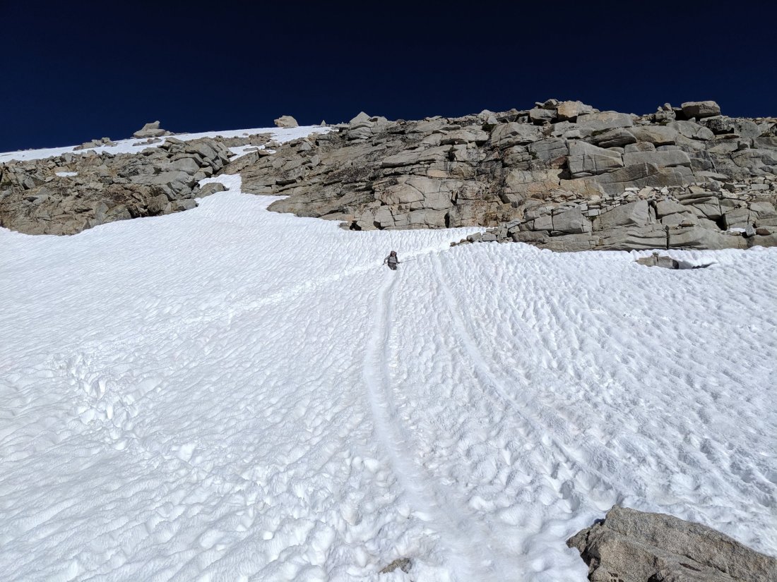
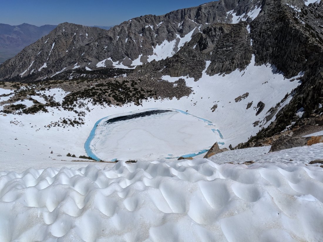
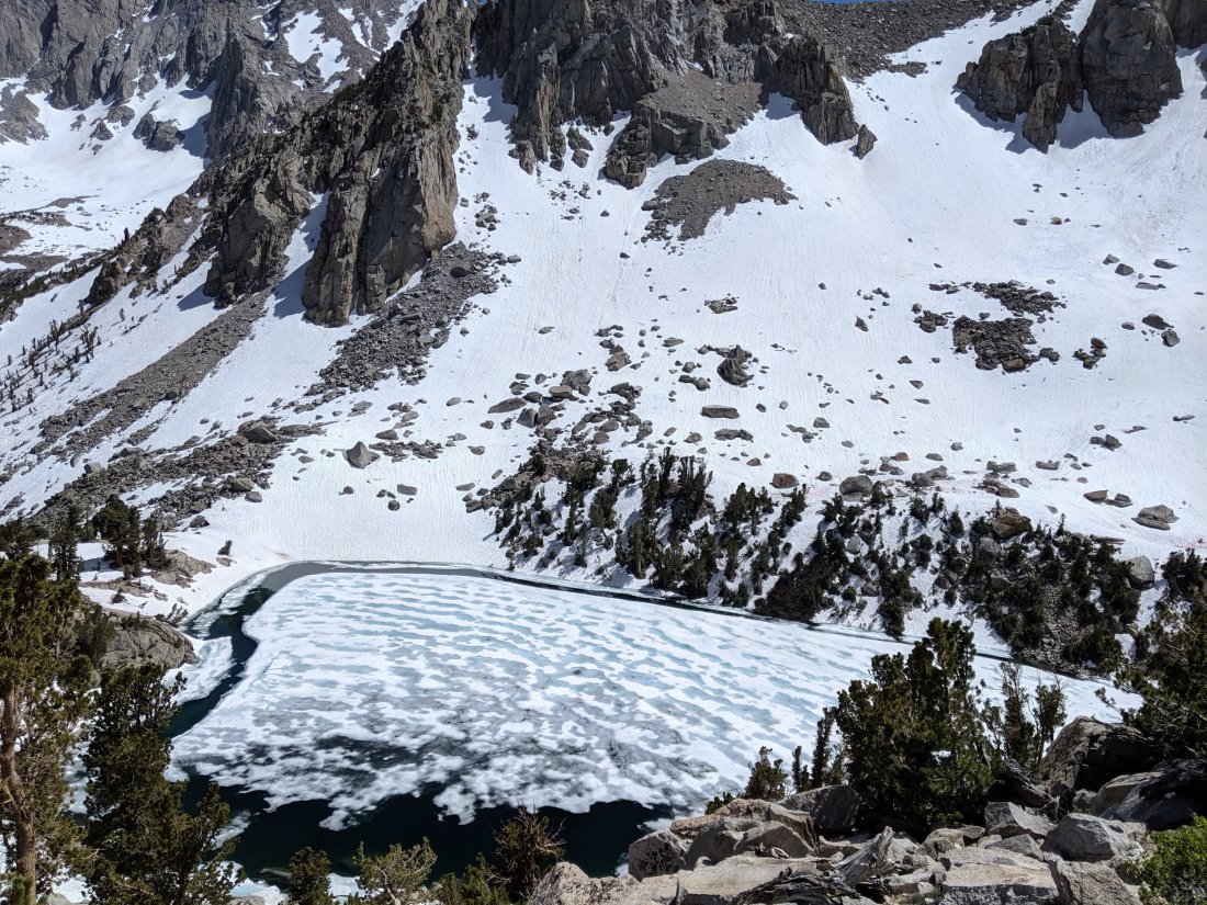
As the high passes go, Muir Pass has a reputation of being quite mild technically (i.e. not very steep), but accumulates and holds much more snow (perhaps because it isn’t very steep). Indeed the slope approaching the pass was never steep enough to require more than one or two switchbacks, but there were about two miles of snowfields on either side which slowed progress, especially in the late afternoon when the snow was soft.
The sun was setting behind the peaks as I slowly approached the hut on top of the pass (obviously I ignored the possibility of camping earlier). It was starting to get colder and my feet were soaked from the snow runoff streams, and the altitude (11-12k feet) and soft snow meant I wasn’t moving very quickly.
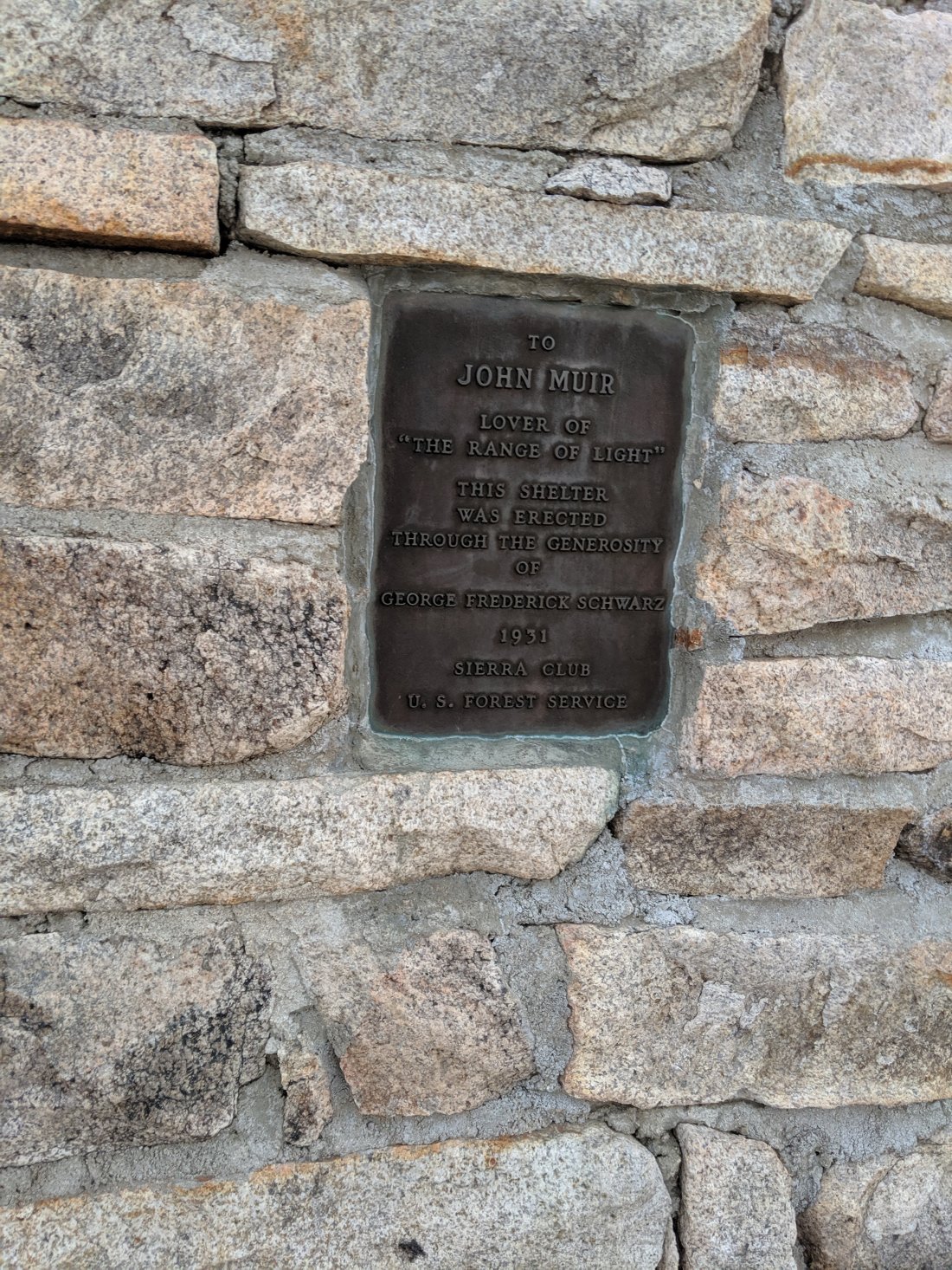
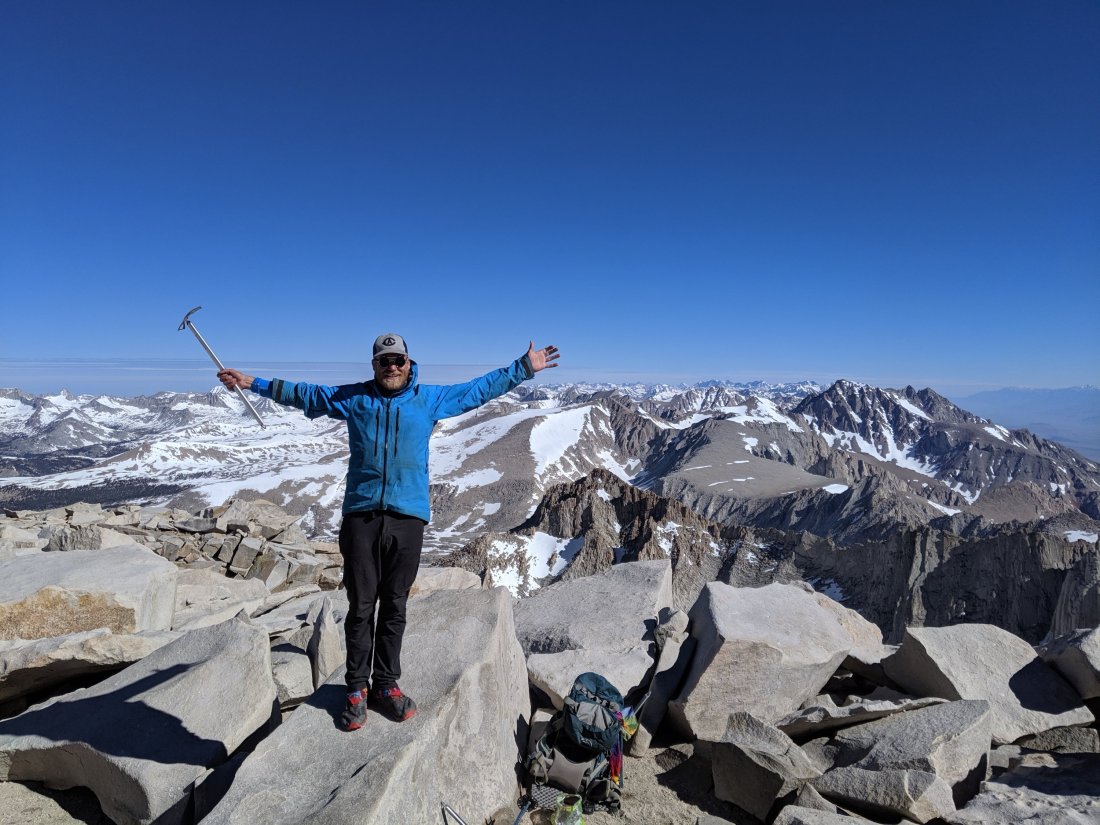
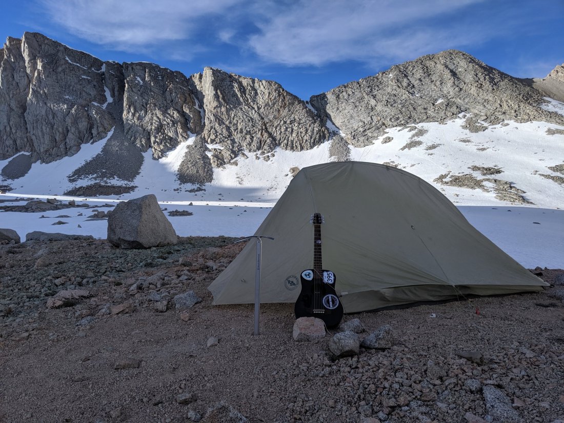
The one-room hut on the summit was an unexpectedly perfect oasis, made almost entirely of stone save for a door and a small window, and quite warm inside. It was built in the 1930s in memory of John Muir, the driving force behind the creation of the National Park system, founder of the Sierra Club, possible founder of the American environmental movement, owner of the world’s greatest beard, and namesake of so many locations here and around California.
He was by no means a perfect person, and I should point out that he thought that the outdoors should be preserved specifically for white people (and not for Native Americans, who were still relatively numerous in his time). Despite its low costs in its simplest form (before getting into lightweight backpacking gear), hiking is still an overwhelmingly white activity, and I have to wonder whether that’s a cultural legacy of John Muir’s worldview.
All that said, he’s the most important person around these parts, and probably the single most important person (besides myself, of course) in making my current journey possible. Seeing this shelter set up in tribute to him in such a beautiful location, after an arduous slog up the pass, brought me to tears for a minute or two. That kind of emotional reaction is what draws people to these beautiful mountains, and I’m grateful to have had that moment amid the constant grind of 20 mile days.

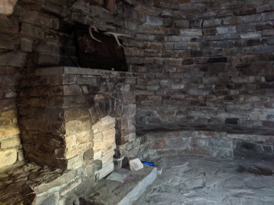
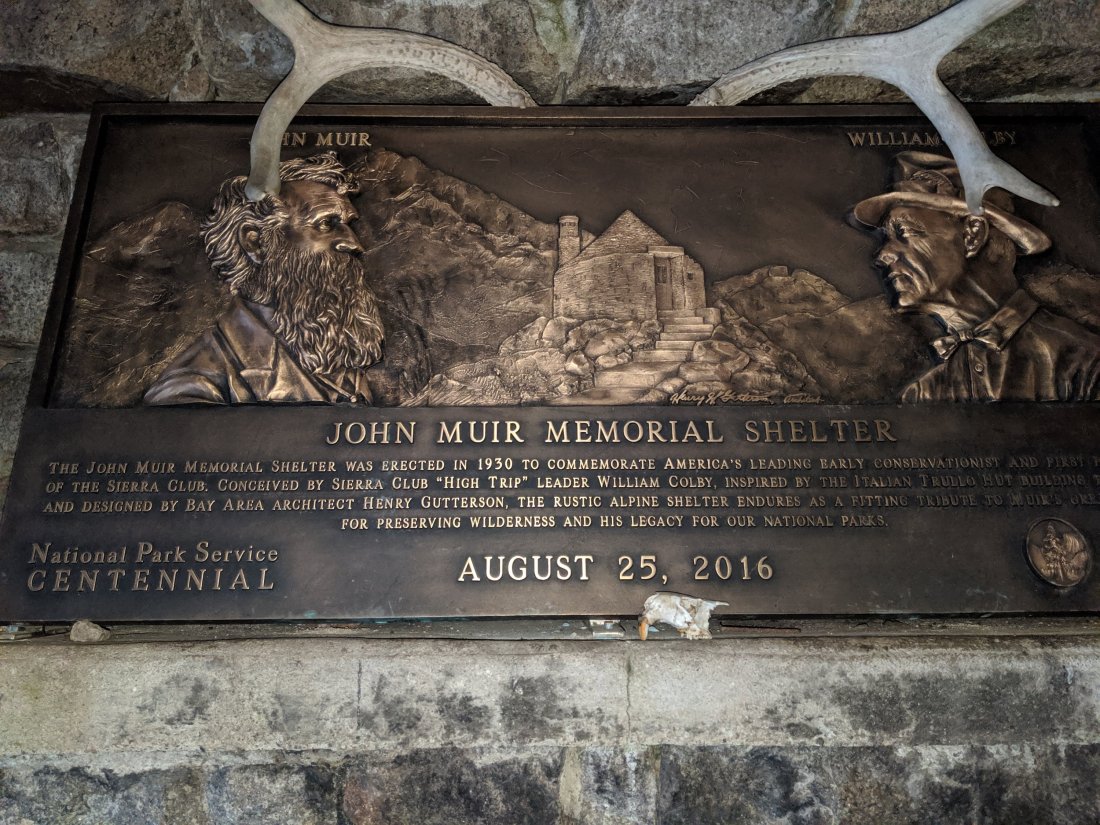
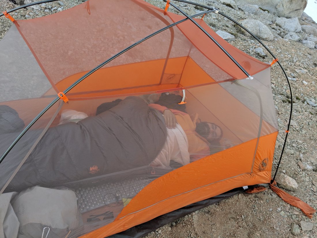
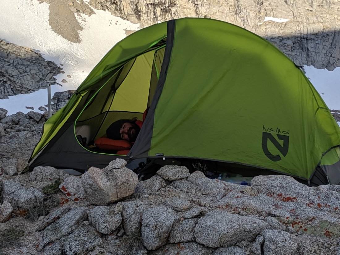
I spent the night on a bench inside the shelter with one other northbound PCT hiker. I found out the next day that you’re not actually allowed to sleep there because it’s some sort of national monument, but I think that’s dumb – how would John Muir feel if he knew that his memorial shelter was prohibited from being used for shelter? (Note for other potential hikers: this shelter, like the rest of the barren high parts of passes, is a “no poop zone”. If you’re going to sleep here, take care of your shit lower down so that you truly leave no trace at and around this beautiful building).
Mather and Pinchot Passes, and out
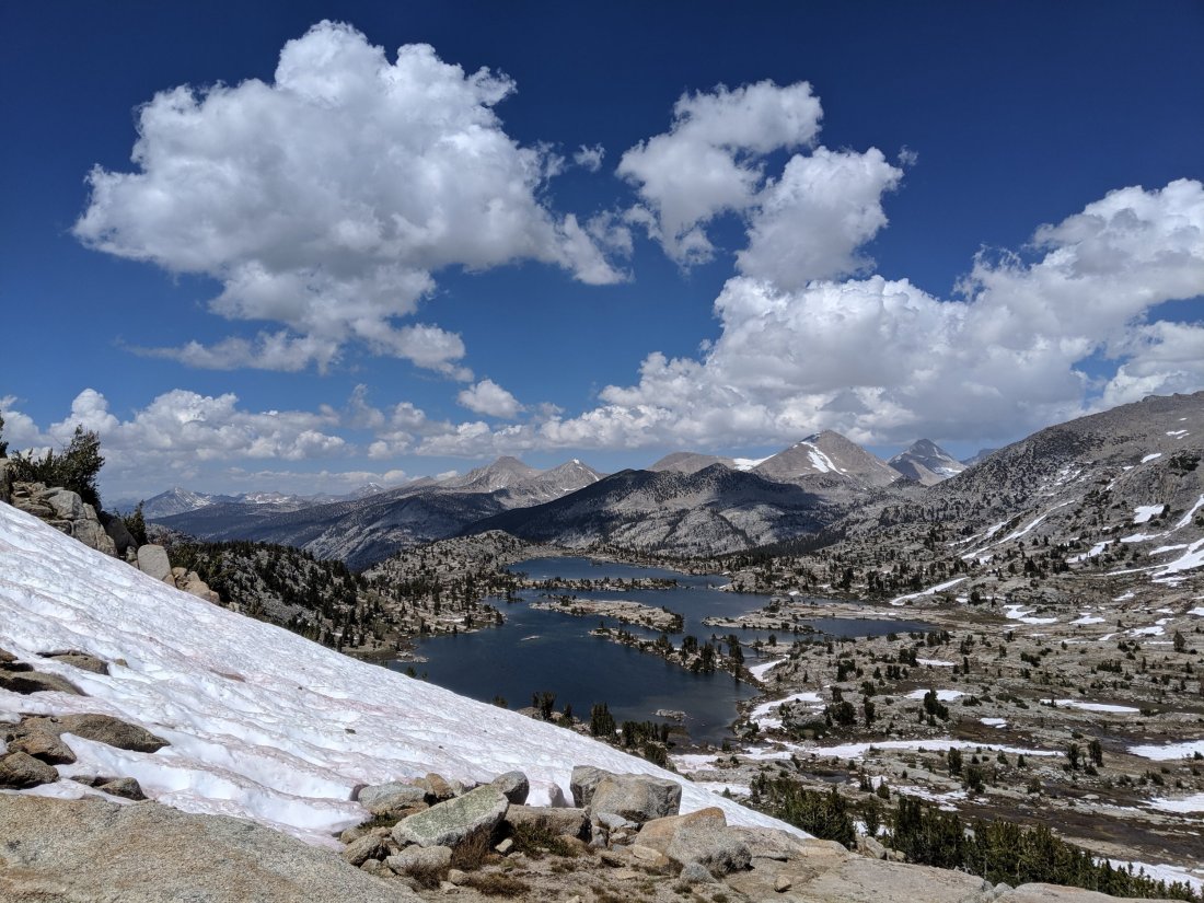
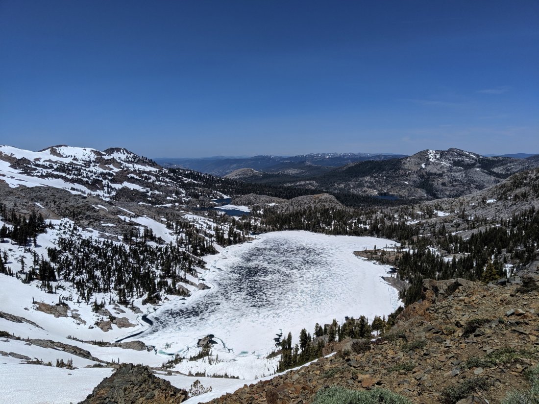
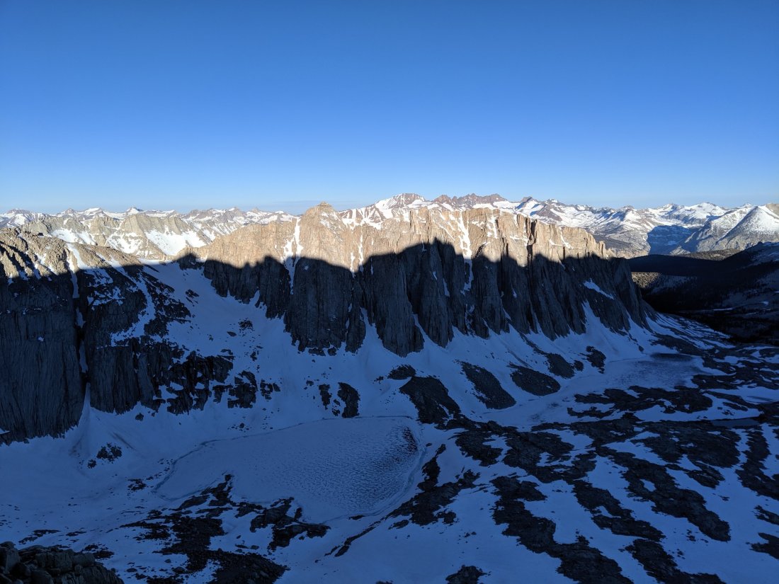
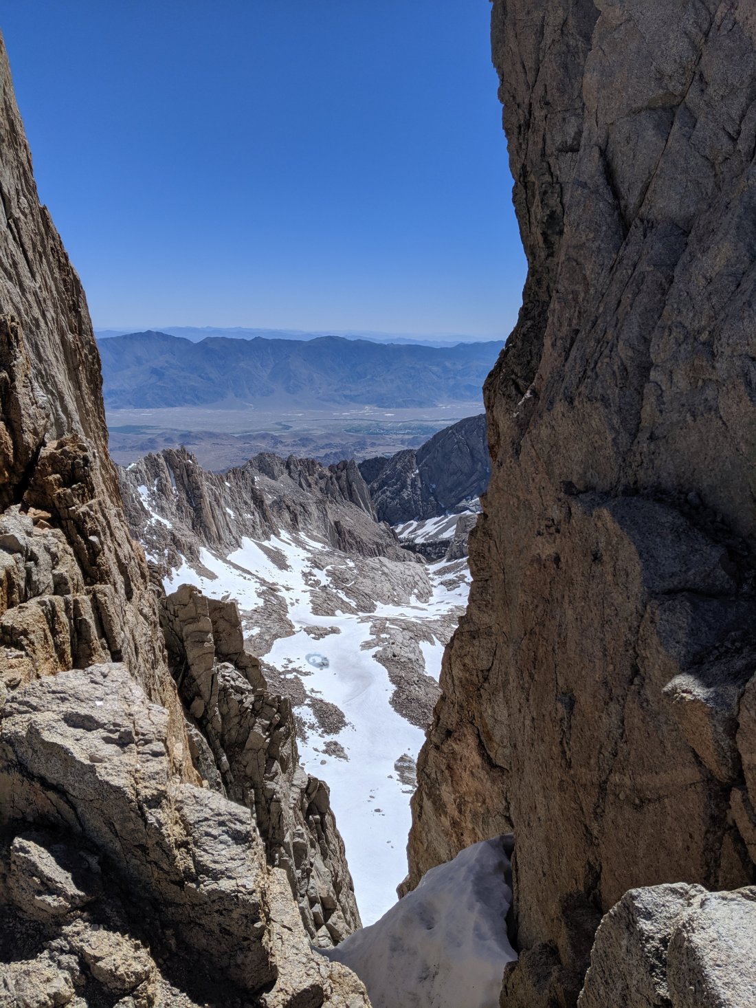
Day 76 was basically a long way down and a long way back up, without going up and over any passes. Mather Pass, about 22 miles from the top of Muir Pass, was the real devil I was worried about, so I figured I’d set myself up to do it first thing on the morning of Day 77 (it’s generally better to do snowy passes early if possible, since the snow will be firmer). So I started the day in the hut on top of Muir Pass and at the headwaters of the Middle Fork Kings River, descended 4,000 feet along the river until its confluence with a tributary called Palisade Creek, upon which I turned upstream and headed 3,000 feet up that creek until very near its headwaters (just below Mather Pass).
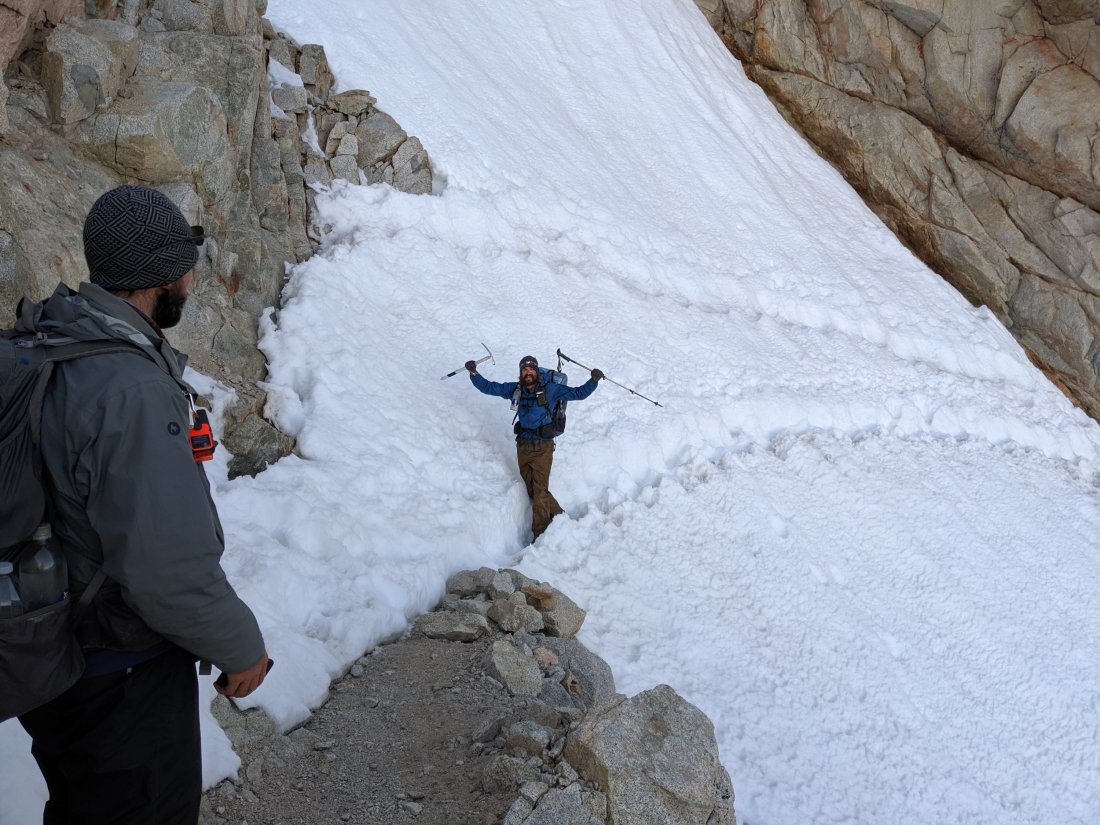
The climb was steep and beautiful, with a long set of switchbacks known ominously as the Golden Staircase (I believe this name is lifted from a section on the Yukon Trail, where miners cut thousands of steps in the snow up a long, steep face). A few other northbound hikers had warned me about it and said they wouldn’t want to go up it, but it really wasn’t that hard – just long. There’s a natural assumption that uphill is always harder than downhill, so these hikers must have found it challenging downhill and assumed it’d be even harder uphill. The thing is though, that a steep downhill is tough on your legs and joints no matter how slow you go, while you can really reduce the strain on your quads and cardiovascular system of a steep uphill by just slowing down. I was in no huge hurry, so I just forgot about time and slowly ambled up this section with ease.
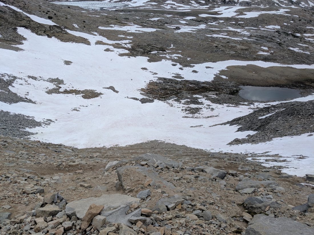
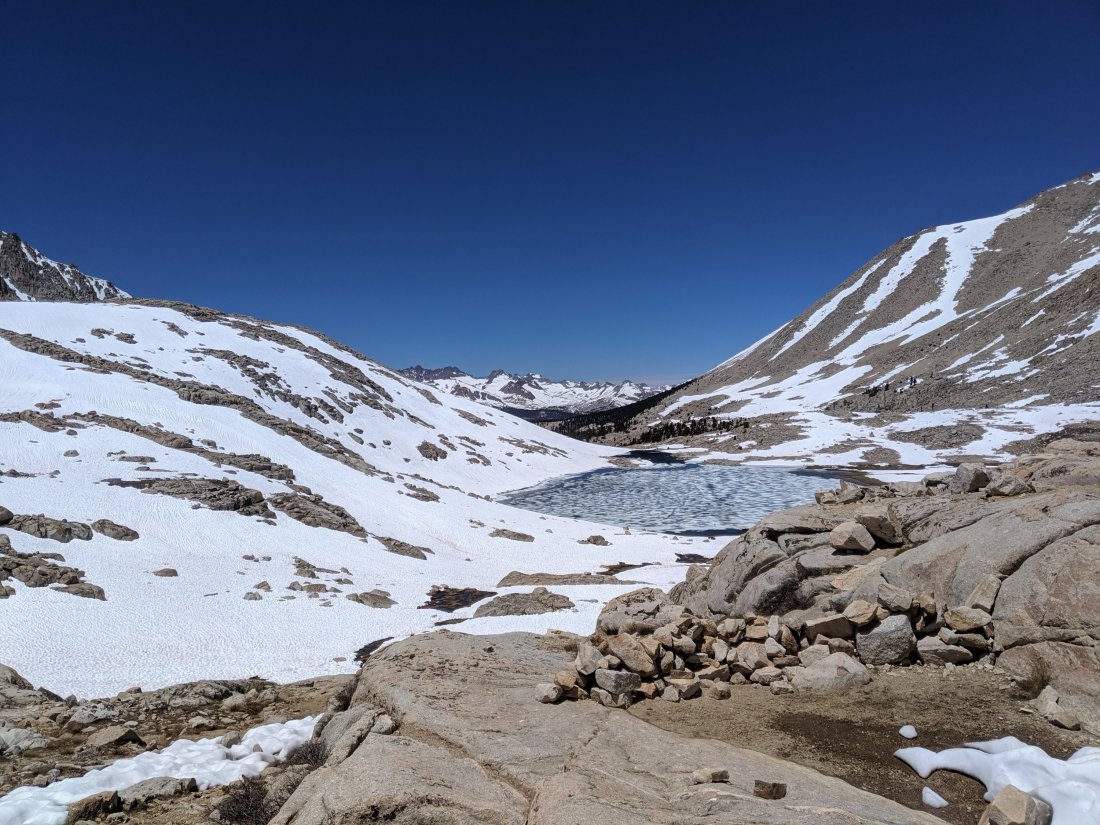
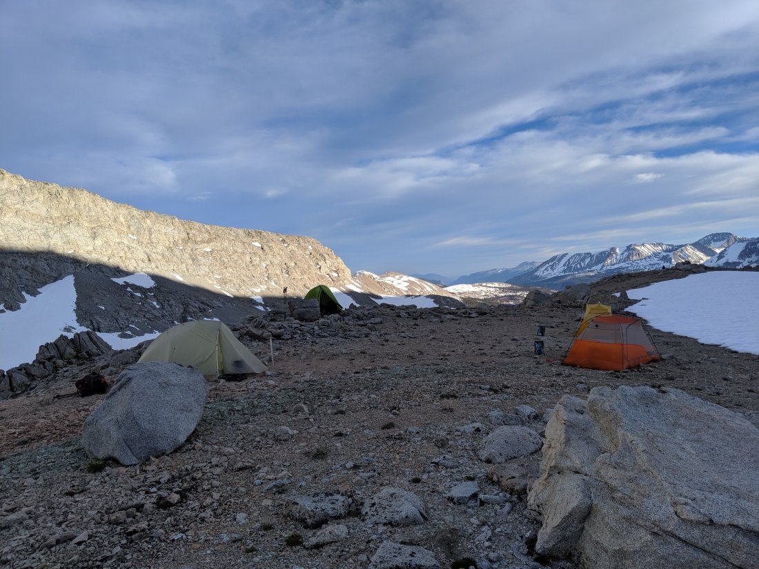
I camped by Upper Palisade Lake, just two miles shy of the top of Mather Pass. I was up early the next morning for the pass and was at the top by probably 7:30.
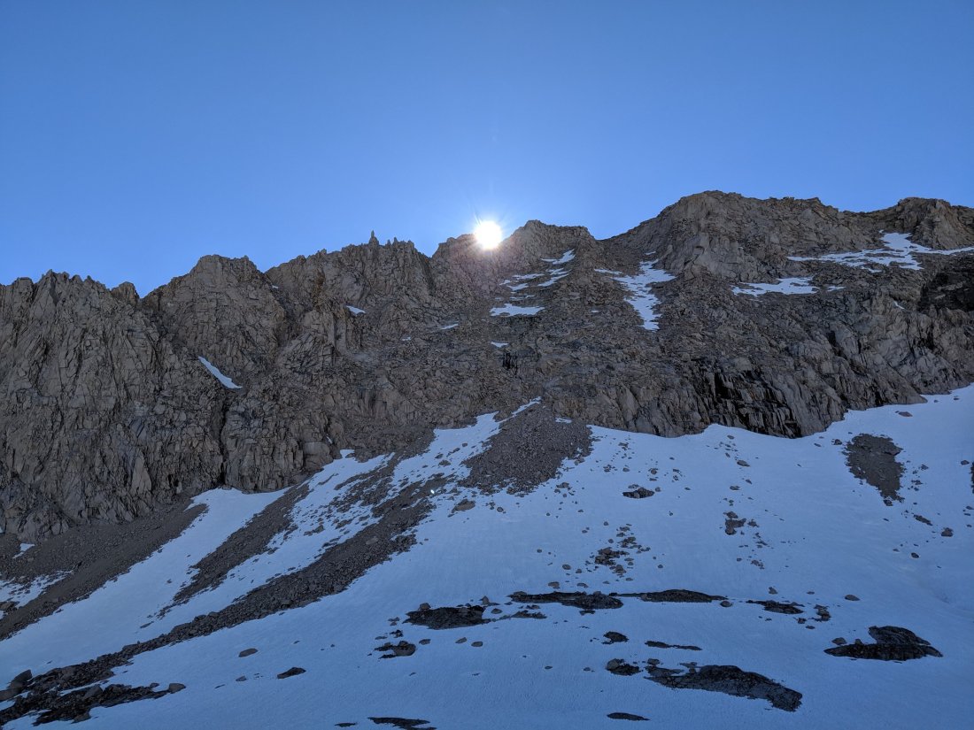
The ascent was relatively easy – a bit snowy but never too steep – but I was more worried about the much steeper south side. The main benefit of flipping north was to allow the snow on the south side of Mather Pass to melt, exposing the switchbacked trail which wends its way down the steep face. This had mostly happened by the time I arrived, but the corners of a few were still covered, requiring my to scramble down between them. These were challenging sections – loose, steep, and downhill – but fortunately brief, so I made it down without too much difficulty.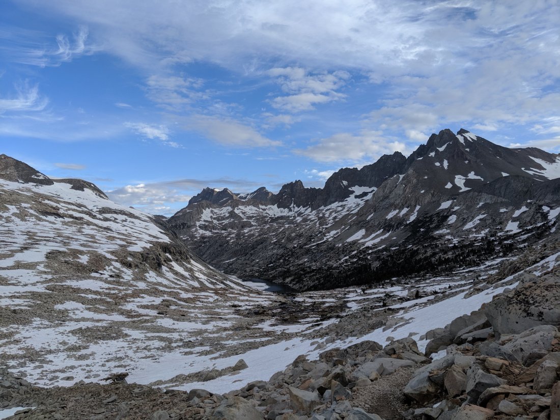
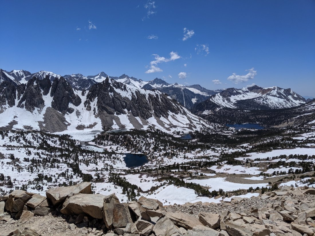
It was a relatively short 9 miles to the top of the next pass, Pinchot Pass, so I pushed on to get over that as early as possible. While higher than all other passes on the trail except Forester Pass, Pinchot is just steep enough to shed its snow in a reasonable time frame without sparking fear with the gradient. It rained for most of the time in between these passes, and the weather report called for late afternoon thunderstorms, so I still wanted to get up and over before 4 or 5. I was at the top by 1, so this was not actually even close to being a danger.

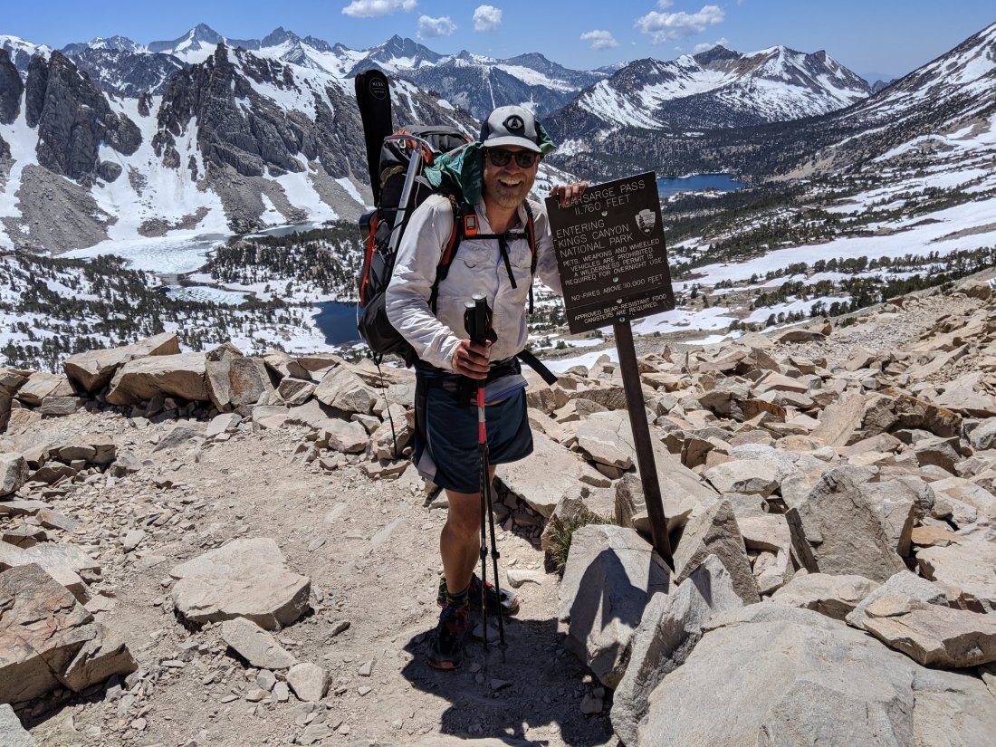
And from the top of Pinchot Pass, I was at the headwaters of Woods Creek, from which I had bailed three weeks prior, so it was all downhill to my original bailout point, which I reached at around 4. Southbound journey complete!
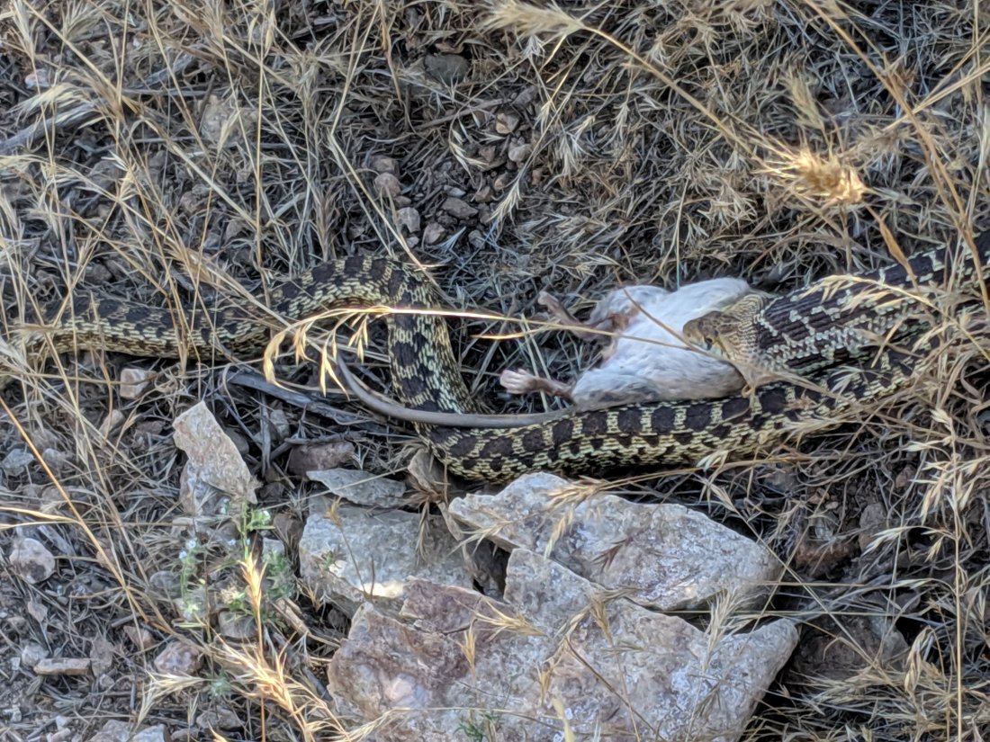
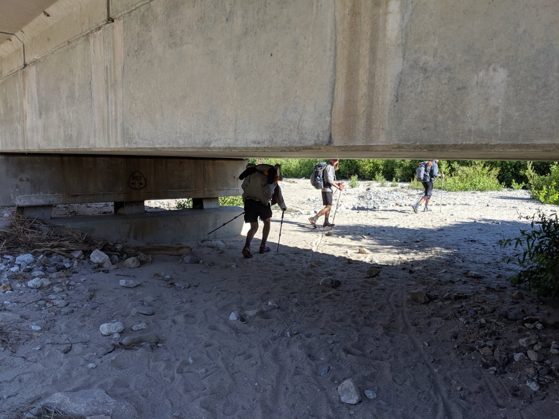
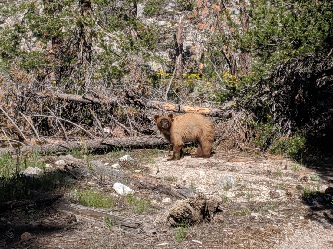
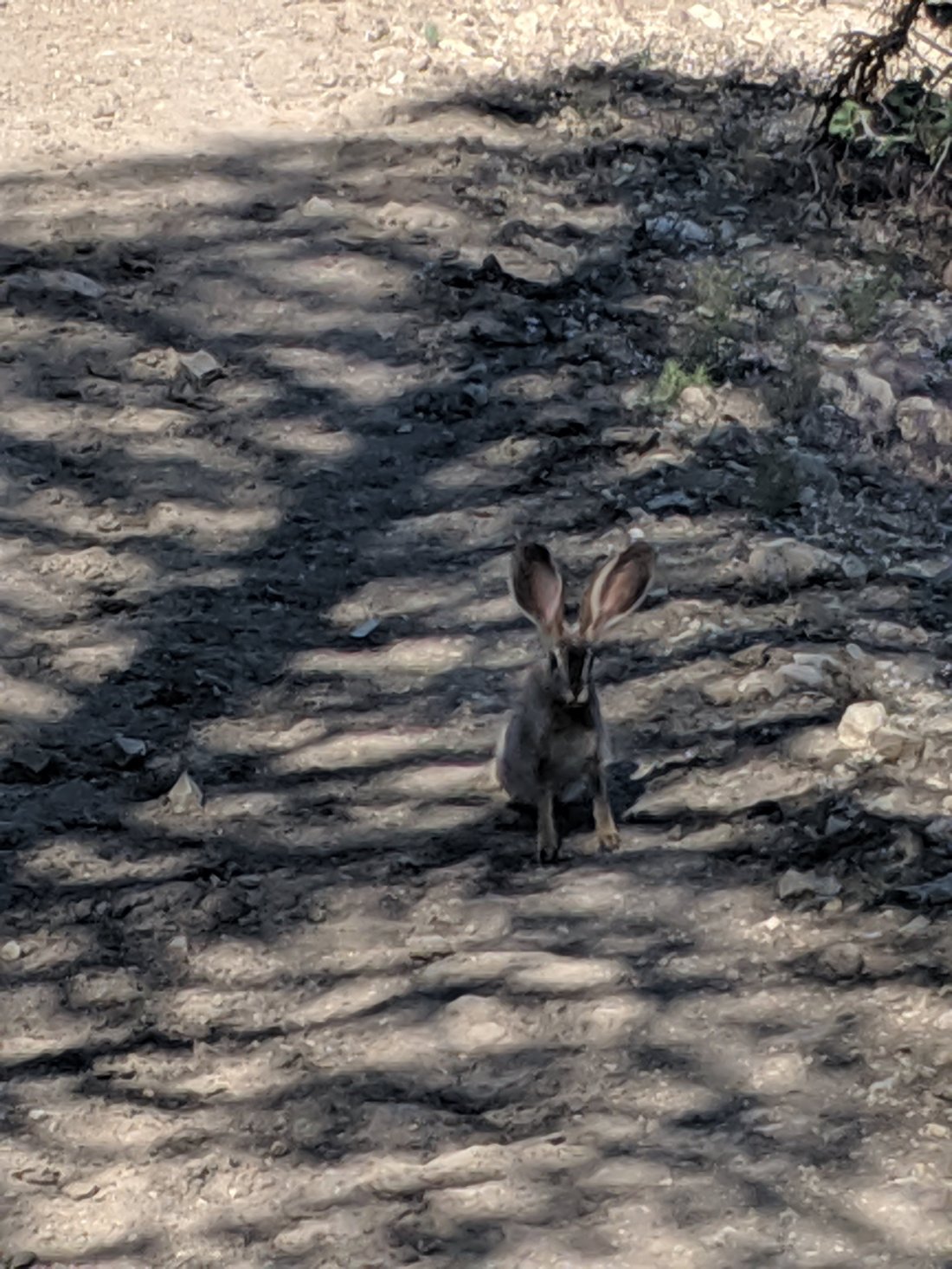
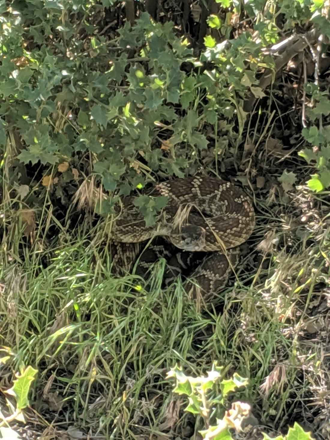
I made it another 5 miles down the 15 mile side trail down upper Kings Canyon before camping, and completed it the next morning around 12:30, seeing two rattlesnakes on the way (weirdly, only the second and third I’ve seen the entire journey). My mother picked me up at the trailhead to drive me back north (Davis, specifically).
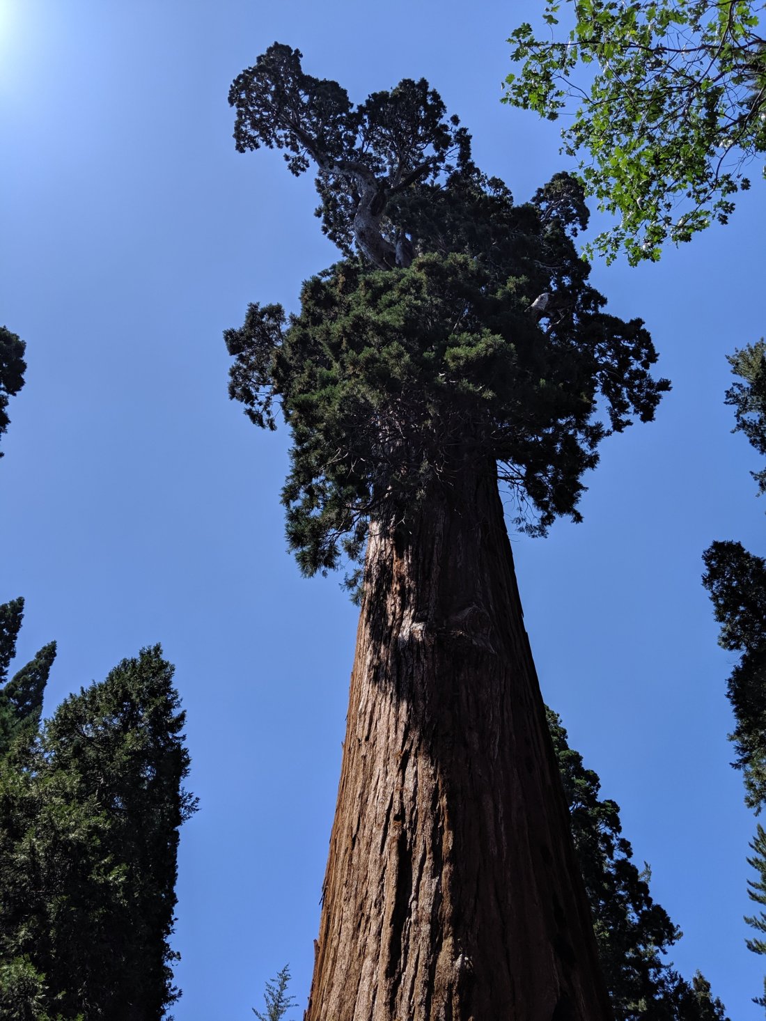
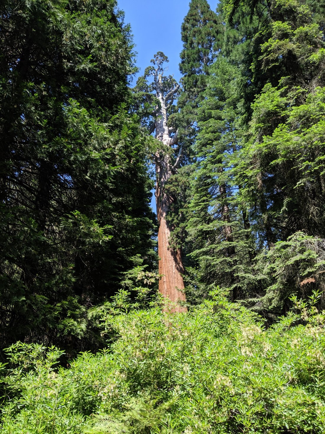
We stopped in at Grant Grove on the way to check out some of the Giant Sequoias. The General Grant tree is the world’s third largest tree by total volume. The largest is General Sherman, probably 30 miles to the south, but this was more of a detour than we wanted to do. After spending so much time in the backcountry of Kings Canyon NP (and also Yosemite and Sequoia), it was nice to see what they do for the “frontcountry”, generally the portion that they make extremely accessible and which generally contain the most famous attractions. The tree was awesome, as was this fallen sequoia which had been used as a makeshift shelter over a century ago and which still sits in the same position without decay.
My London-based friend Zuzana requested a photo of me hugging a giant tree, since she had missed it on a family vacation. Unfortunately there are barriers preventing public displays of affection, but here I am in front of the General Grant tree.

We spent the rest of the day driving five hours back to Davis and running some errands, with the plan of waking up early the next morning to drive up to Donner Pass to resume my northbound journey. I was reticent to go by Davis at all, since it’s my hometown and I was worried that it would be hard to maintain my trail mindset in my childhood home, but there was so much to do and so little time to do it that I just didn’t have time to relax.
We left Davis early the next morning to drive up to Donner Pass and send me forward on my renewed northbound journey.


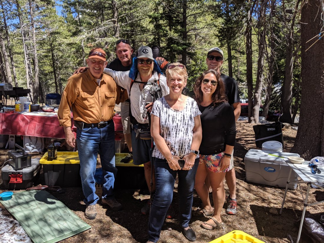


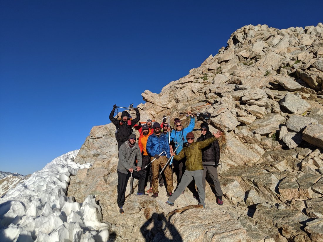
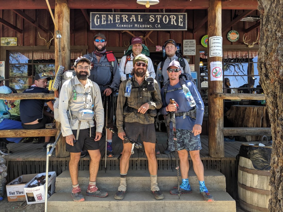

 With the treacherous Sierra Nevada looming in the horizon, I will now actually hike in a group, rather than alone but crossing paths with the same people. It looks like my group is going to be Machine and Shea, who I’ve been loosely hiking with for the last couple of weeks; Jordan, who I hiked with in the first couple of weeks, and had since caught back up with me (his girlfriend Chelsea has been on and off the trail recently, and my join up with us later); and Snazzy, a really solid, generous guy from Florida who I only recently met. The other guys are all 30-35 years old, I think, so young enough to be physically fit, but old enough to bring some maturity to the situation. Jordan has also hiked the Appalachian Trail already, so he’s got a lot of backpacking experience, if not specific to the upcoming high alpine conditions.We head out tomorrow morning. It’ll be at least 3 days until we’re in significant amounts of snow, at which point we’ll begin to assess whether we’re capable of continuing the crossing, or whether we need to skip to another section and return when the snow and rivers are lower.

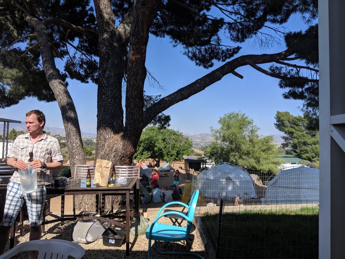
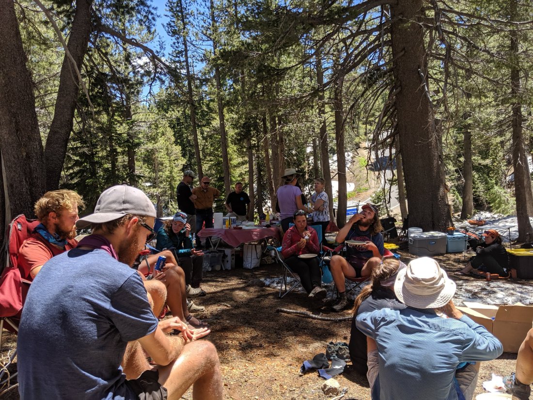
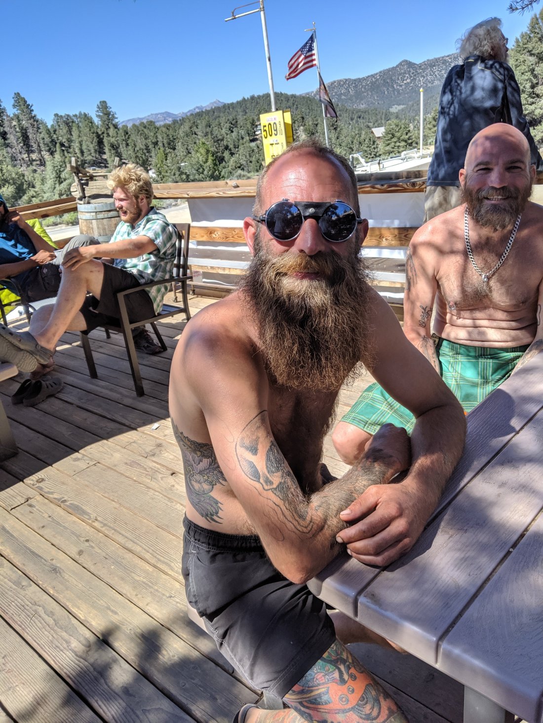
 I headed out in the evening so that I could get to the next stop, Casa de Luna, without too much midday hiking. I hiked with this Czech dude Petr (red shirt above), who I’m trying to anoint with the trail name Soya Boya, because he bought some “extra virgin olive oil” which, upon reading the ingredients list, is only 6% extra virgin olive oil and 94% soybean oil (it would be Soy Boy, but he’s a euro, so it’s Soya Boya).We hiked around 10 miles out of 24, then camped around midnight. The next morning, we were hiking around 6, my earliest start yet, I think. Got to Green Valley around midday, and again spent the rest of the day and most of the next day there.Whereas Hiker Heaven is hippies with a system, Casa de Luna is more chaotic, but in a great way. There’s a list of house rules, the first two of which are “1. Hug Terri” and “2. Put on a Hawaiian shirt”. Terri hangs out outside chain smoking, while Joe sports long hair and a beard and listens exclusively to the Dead while flipping pancakes for daily breakfast (daily dinner of nachos).I spent most of my days there hanging out on couches in the driveway with other Hawaiian-shirted hikers (my shirt wasn’t actually Hawaiian, but that’s fine). I also went for a session of frisbee golf with Shea and Machine, who may be the start of a trail family (been hiking sort of with them for a week or two now). We’ll see.
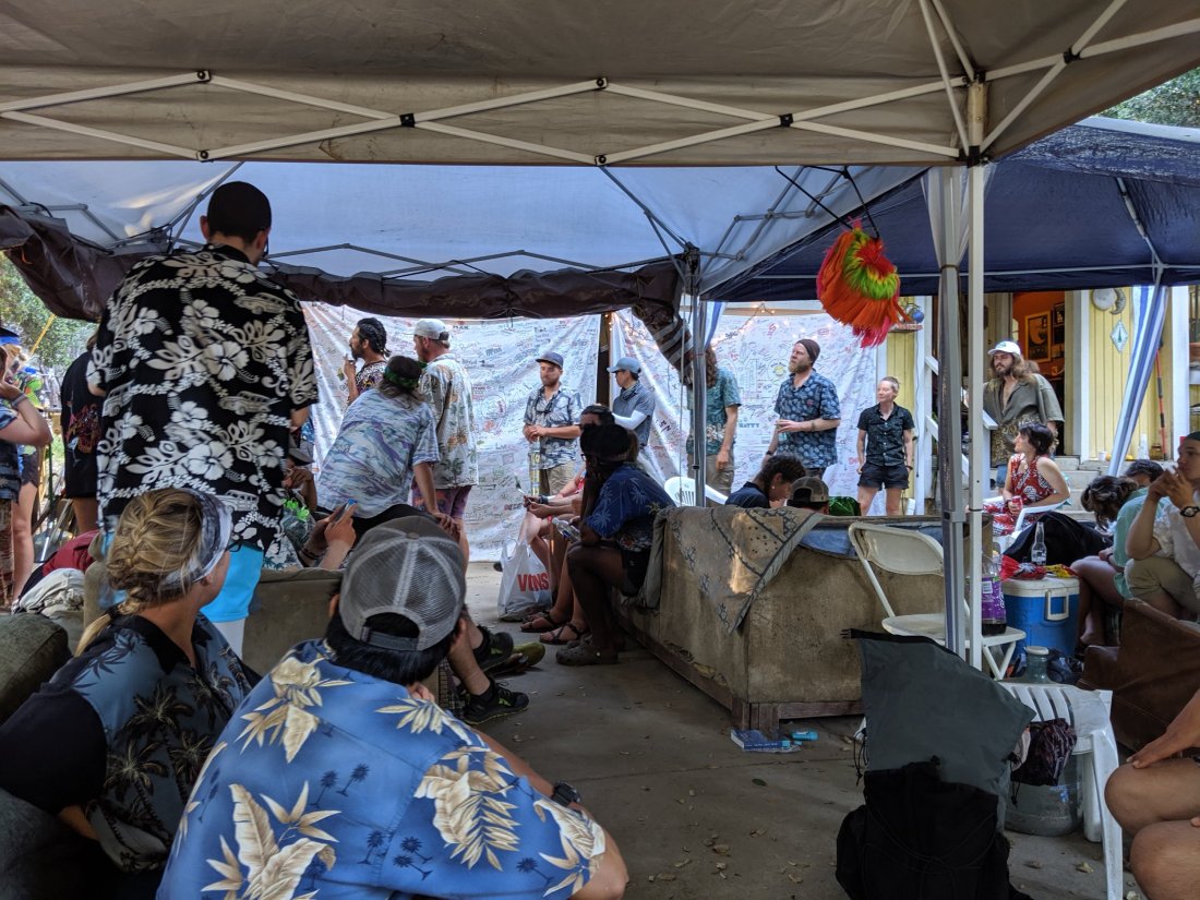

 Another tradition of Casa de Luna is to paint a rock. I skipped this one because my penmanship is atrocious, but here are some I liked.


 We all camped in the backyard in a seemingly endless manzanita forest.


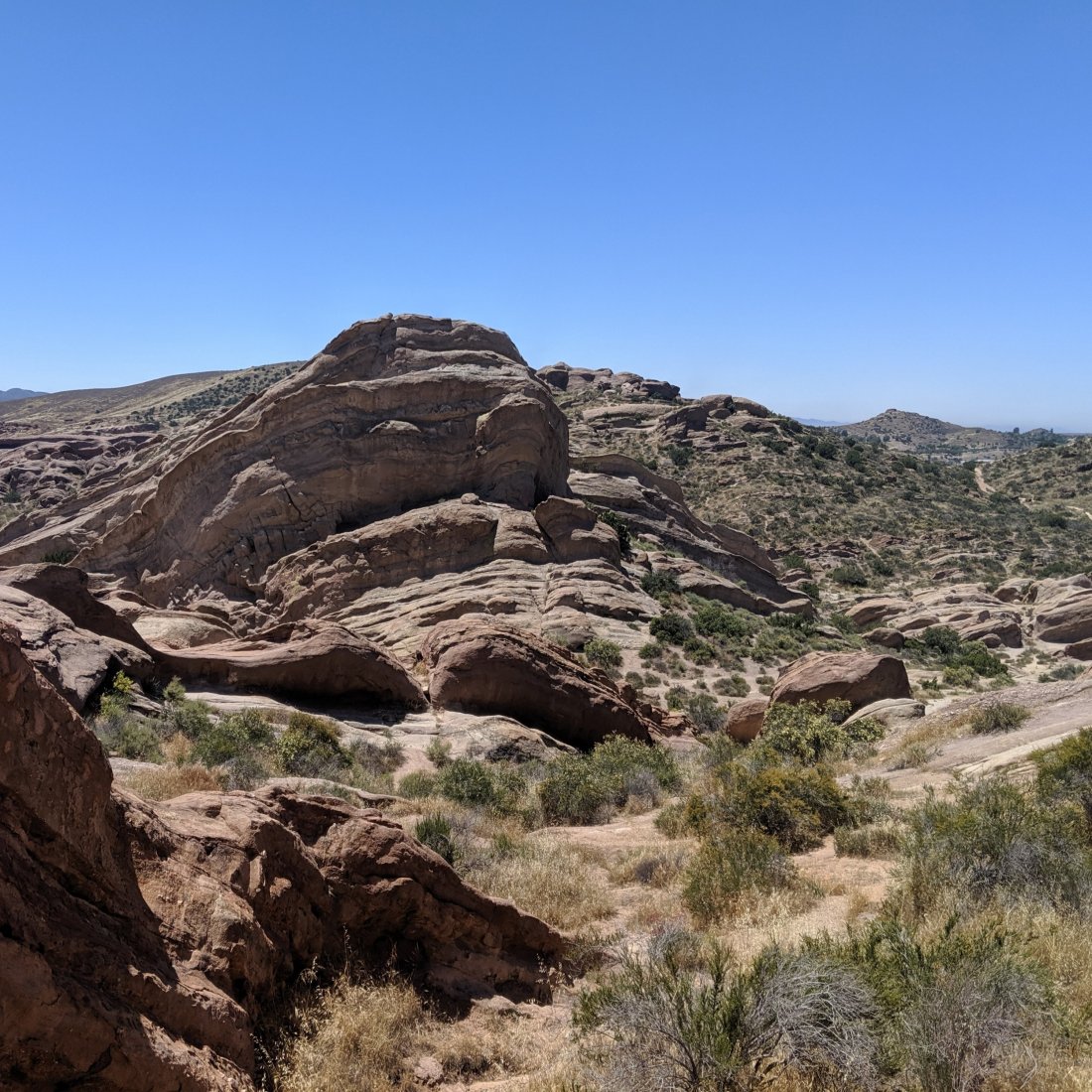
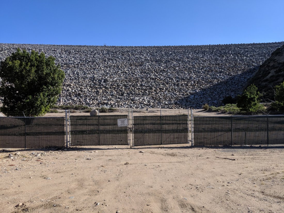
 On Day 33, I did 20 miles finally down out of the hills and into the Mojave Desert, to the town of Neenach. In theory, the trail should be able to skirt around the desert floor entirely, but private property issues say otherwise at the moment (I understand that the PCTA has obtained an easement from said property holders and is working on rerouting the trail around the desert, but that’s still a year or two out).
 A local market in Neenach called Wee Vill Market has recently discovered the whole through hiking scene and has begun hosting hikers in the yard next door. They were all super friendly, and ran regular shuttles between the trail and the market (probably 10 miles apart), while letting us use their facilities for toilets, showers, and bucket laundry. Also, the food they served was delicious.
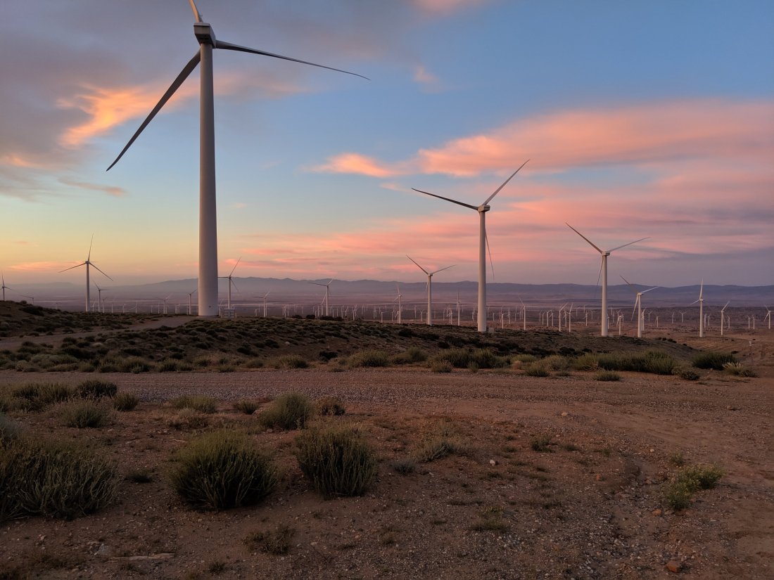
 It’s now mid June at relatively lower altitudes, so heat and water are becoming a factor. As such, the strategy has shifted to avoid hiking the middle of the day. The stretch across the floor of the Mojave Desert is around 20 miles (depending on how you define the beginning and end).Myself, Shea, and Machine headed out onto the Aqueduct stretch around 8:20 pm, and hiked 24 miles by sunrise the next morning, and made it to shady oak tree by a small stream. It was a huge mental and physical struggle, and I think we probably all almost fell asleep while walking, but it was better than walking the straight shadeless section in the heat.
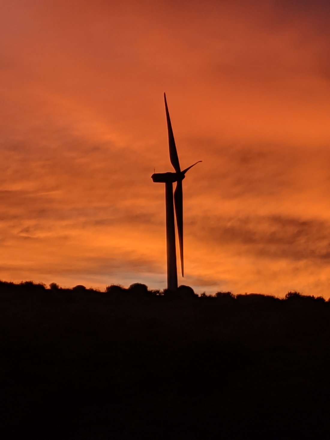
 We arrived at our shade tree at around 6:30 am and spent the entire day napping in the sun. Shade and water is far between here, so many other hikers (maybe two dozen) joined us throughout the day.
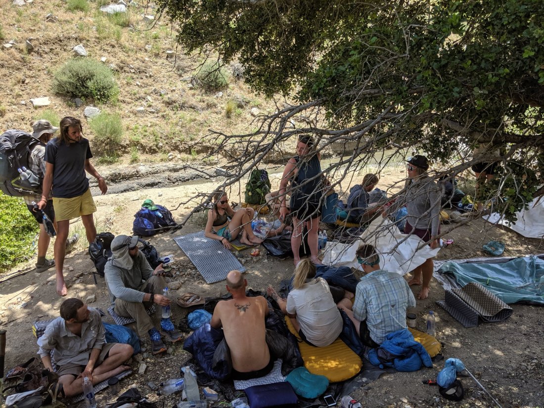
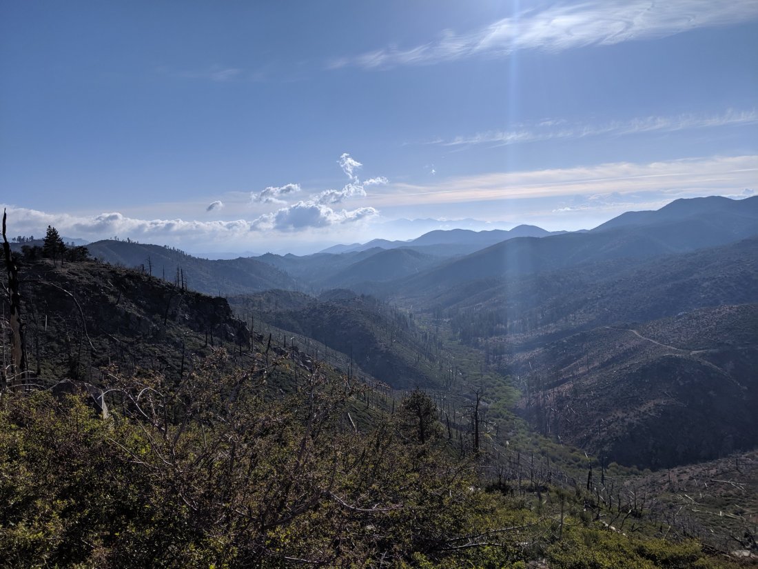
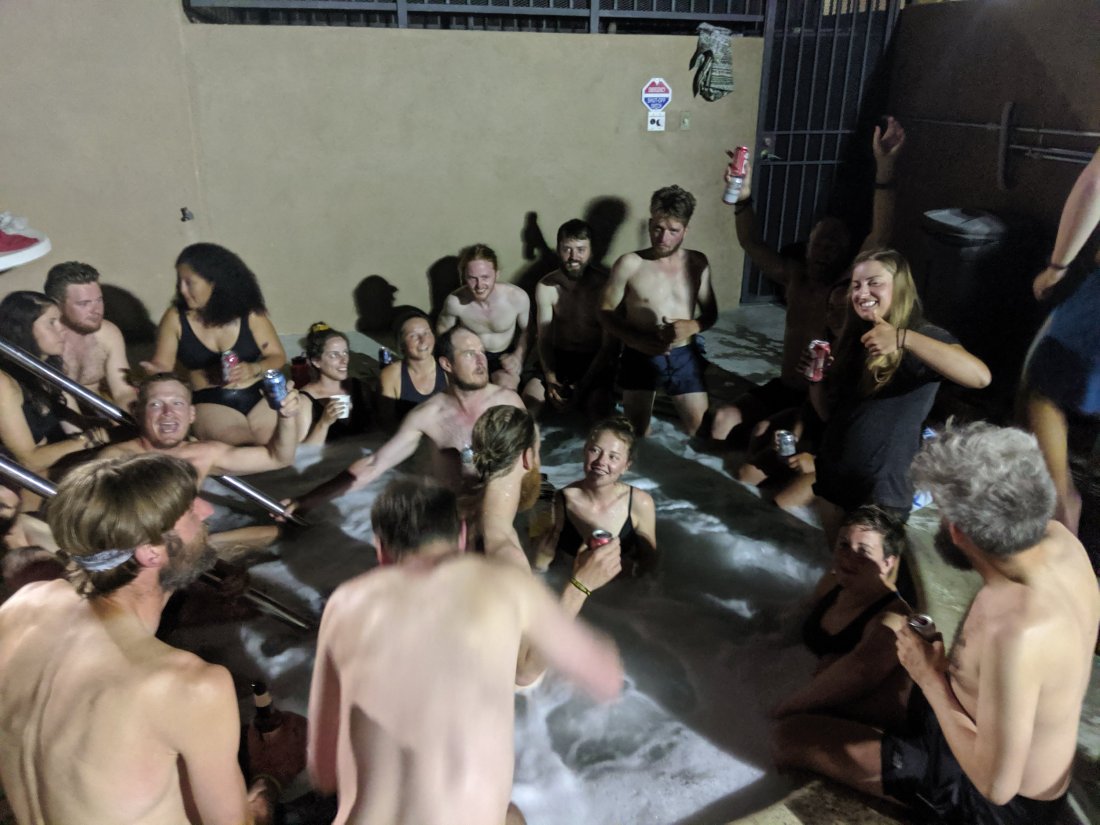
 After these eight miles, I got a bus into Tehachapi, an annoyingly pedestrian-unfriendly town on Hwy 58 between Bakersfield and Mojave. Definitely the least hiker-centric town I’ve encountered thus far. Many many hikers are staying at the Best Western in town, and we had a big party in the hot tub and pool area, which was good fun, if a bit rowdy.I’ve spent all of Day 37 in Tehachapi as well, as my third full zero day of the trail. I’m feeling a bit restless being here, given that I’ve already spent a lot of time hanging out at houses lately, but Shea and Machine both wanted a day off and I don’t want to lose them with the snowy Sierras just on the horizon, and an extra day to let snow melt can’t hurt.Over the next few days, we’ll be hiking through the southernmost reaches of the Sierras, at least according to geologists’ definition of that range. The elevation remains low-ish here (below 6,000 feet mostly) and it is hot and dry, so practically speaking we are still in the desert. Still, there’s something satisfying about starting the gradual ascent out of the desert and into the high peaks which I anticipate will be the highlight of the entire trip.